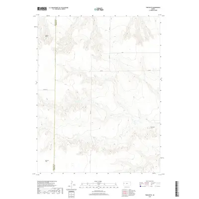
2018 Map of Twin Butte
USGS Topo · Published 2018About this map
Harrison Flats dominates the southern reach of this High Plains landscape, situated along the county line where Wallace and Logan counties meet. The topography is defined by the sharp elevations of Wallace Bluffs in the northwest and the namesake Twin Butte in the southeast, revealing a terrain of dissected breaks typical of western Kansas. Transportation across this portion of Harrison Township relies on a grid of county routes and specifically named roads such as Ironhorse Rd, Jayhawk, and Kiowa. This 2018 survey by the U.S. Geological Survey captures the area's transition between elevated buttes and the expansive flats, mapping the township and range lines that have structured these western Kansas lands since the original public land surveys.
Find a feature on this map
14 named features on this map. Tap any name to fly to it.
Don’t see what you’re looking for? This feature index may not catch every label — zoom into the map to look around manually.
Map Details
Editions of this 2018 Twin Butte Map
This is the sole edition of this map. No revisions or reprints were ever made.
Other maps of this area

1955 · Scott City
USGS Topo · 1:250,000

1958 · Scott City
USGS Topo · 1:250,000

1959 · Wallace
USGS Topo · 1:62,500

1968 · Russell Springs 3 NW
USGS Topo · 1:24,000

1968 · Sharon Springs 4 NE
USGS Topo · 1:24,000

1968 · Russell Springs 3 NE
USGS Topo · 1:24,000

1969 · Russell Springs 2 NW
USGS Topo · 1:24,000

1969 · Russell Springs 2 SW
USGS Topo · 1:24,000

1969 · Russell Springs 2 NE
USGS Topo · 1:24,000

1969 · Russell Springs 2 SE
USGS Topo · 1:24,000