
1969 Map of Russell Springs 2 SW
USGS Topo · Published 1971About this map
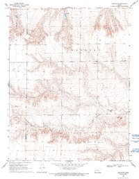
Little Eagle Ch serves as a lone cultural waypoint in this high plains landscape of western Kansas, situated just south of a complex system of drainage draws. The topography is dominated by the erosion patterns of Twin Butte Creek, which carves through the local townships of Western and Augustine. The land is sharply defined by the distinctive Twin Butte landform, a prominent elevation that likely served as a significant regional landmark for travelers and residents alike.
Find a feature on this map
8 named features on this map. Tap any name to fly to it.
Don’t see what you’re looking for? This feature index may not catch every label — zoom into the map to look around manually.
Map Details
Editions of this 1969 Russell Springs 2 SW Map
2 editions found
Other maps of this area

1955 · Scott City
USGS Topo · 1:250,000

1958 · Scott City
USGS Topo · 1:250,000

1959 · Wallace
USGS Topo · 1:62,500

1968 · Russell Springs 3 NW
USGS Topo · 1:24,000

1968 · Sharon Springs 4 NE
USGS Topo · 1:24,000

1968 · Russell Springs 3 NE
USGS Topo · 1:24,000

1969 · Russell Springs 2 NW
USGS Topo · 1:24,000

1969 · Russell Springs 2 NE
USGS Topo · 1:24,000

1969 · Russell Springs 2 SE
USGS Topo · 1:24,000
1979 · Wallace
USGS Topo · 1:24,000