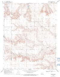
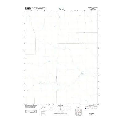
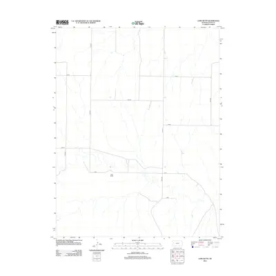
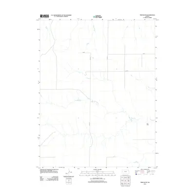
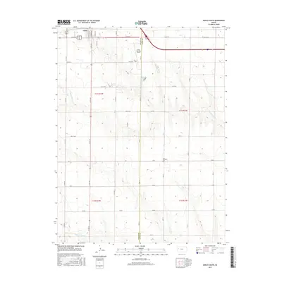
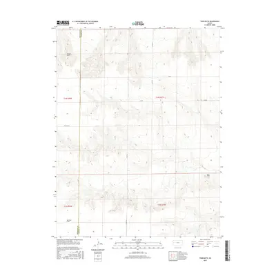
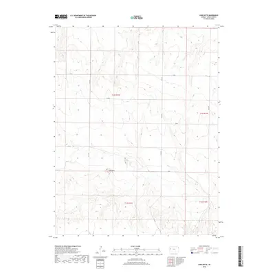
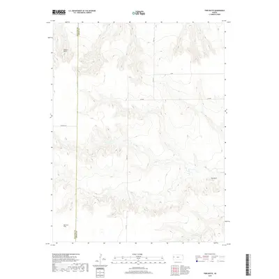
1969 Map of Twin Butte
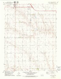
USGS Topo · Published 1993About this map
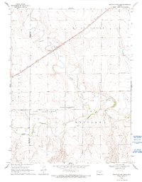
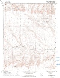
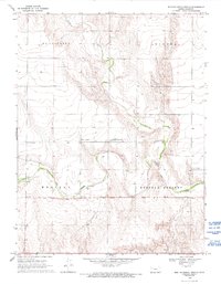
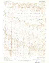
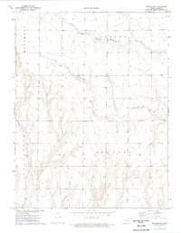
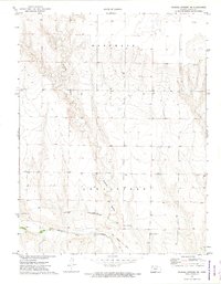
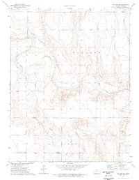
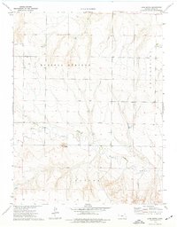
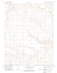
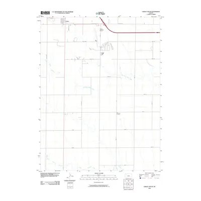
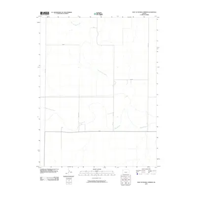
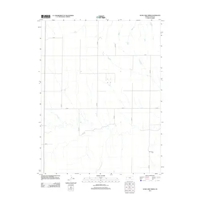
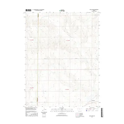
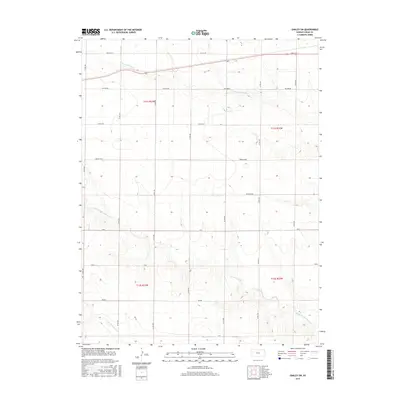
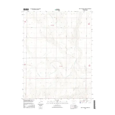
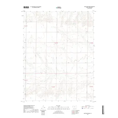
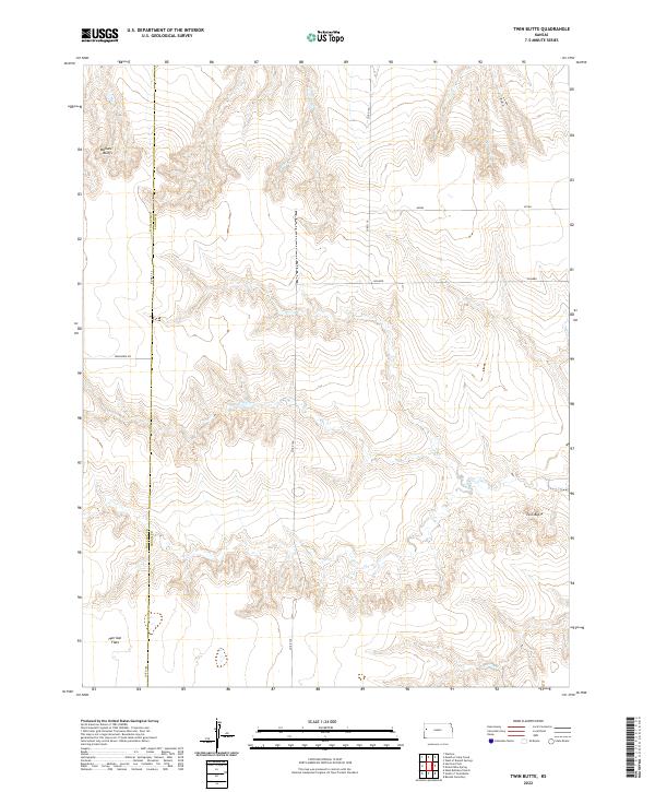
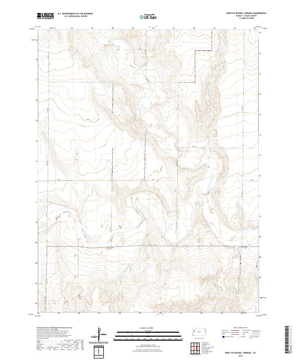
The boundary between Wallace Co Logan Co defines the center of this Western Kansas landscape, surveyed in the late 1960s. The terrain is characterized by the drainages of Twin Butte Creek, which carves through the high plains across the townships of Western, Augustine, Harrison, and Wallace. The presence of Little Eagle Ch suggests a focal point for the rural community in an area otherwise marked by dispersed agricultural infrastructure. A notable water management feature, the Spillway Elev 3218, indicates the modification of the natural watercourses to support the local prairie environment. This survey provides a clear look at the section lines and topography that governed land use in Logan County during this era.
Find a feature on this map
9 named features on this map. Tap any name to fly to it.
Don’t see what you’re looking for? This feature index may not catch every label — zoom into the map to look around manually.
Map Details
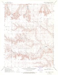
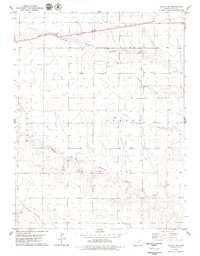
Editions of this 1969 Twin Butte Map
2 editions found
Historical Maps of Wallace Township Through Time
84 maps found
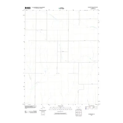
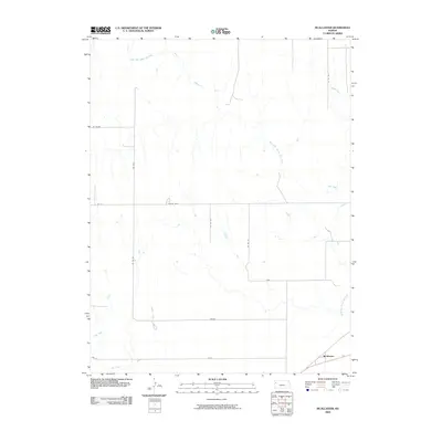
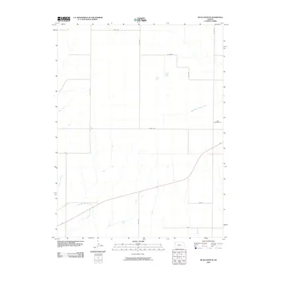
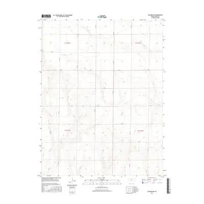
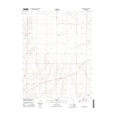
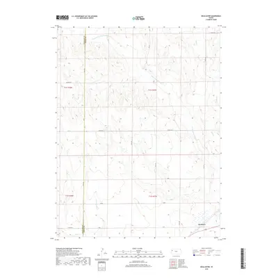
1969 Mc Allaster
Logan County, KS
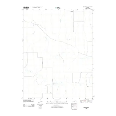
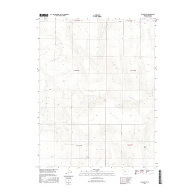
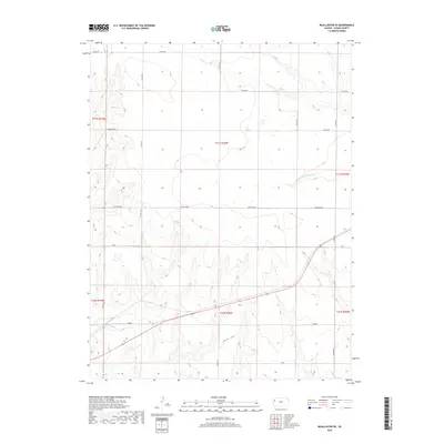
1969 Mc Allaster SE
Logan County, KS
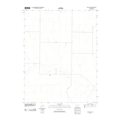
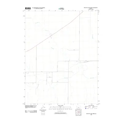
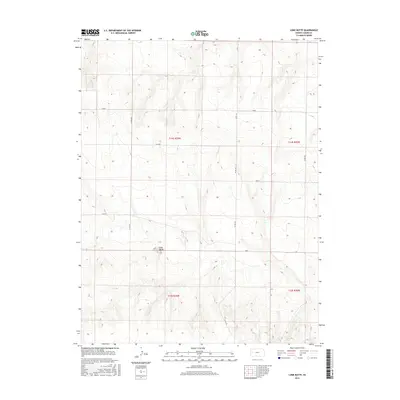
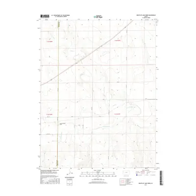
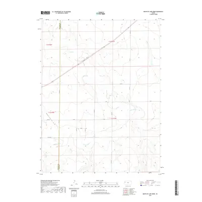
1969 Mouth of Lake Creek
Logan County, KS
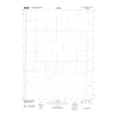
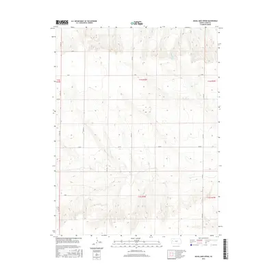
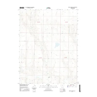
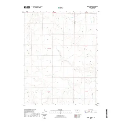
1969 Nickel Mine Spring
Logan County, KS
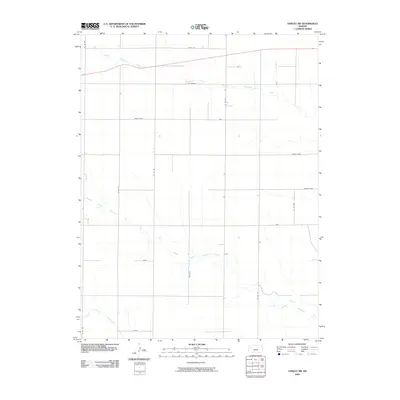
1969 Twin Butte
Logan County, KS
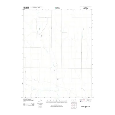
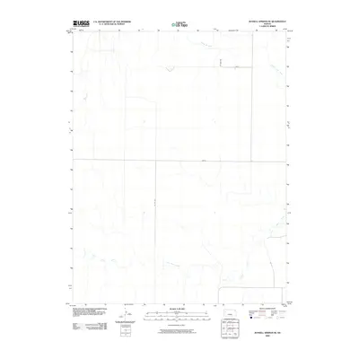
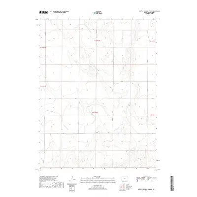
1969 West of Russell Springs
Logan County, KS
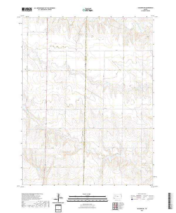
1972 Elkader NE
Logan County, KS
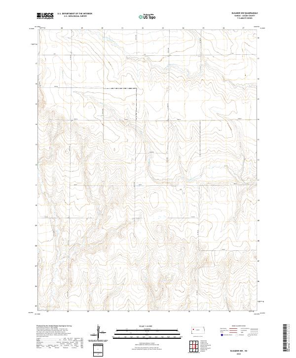
1972 Elkader NW
Logan County, KS
1972 Russell Springs NE
Logan County, KS
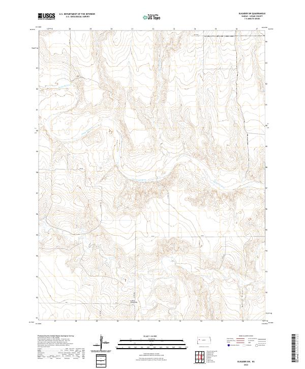
1974 Elkader SW
Logan County, KS
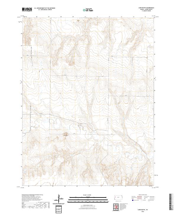
1974 Lone Butte
Logan County, KS
1974 Russell Springs SE
Logan County, KS
1979 Oakley South
Logan County, KS
1979 Oakley SW
Logan County, KS
2009 Elkader NE
Logan County, KS
2009 Elkader NW
Logan County, KS
2009 Elkader SW
Logan County, KS
2009 Lone Butte
Logan County, KS
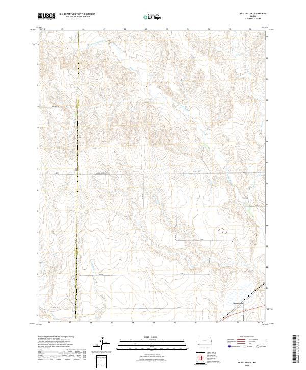
2009 McAllaster
Logan County, KS
2009 McAllaster SE
Logan County, KS
2009 Mouth of Lake Creek
Logan County, KS
2009 Nickel Mine Spring
Logan County, KS
2009 Oakley South
Logan County, KS
2009 Oakley SW
Logan County, KS
2009 Russell Springs NE
Logan County, KS
2009 Russell Springs SE
Logan County, KS
2009 Twin Butte
Logan County, KS
2009 West of Russell Springs
Logan County, KS
2012 Elkader NE
Logan County, KS
2012 Elkader NW
Logan County, KS
2012 Elkader SW
Logan County, KS
2012 Lone Butte
Logan County, KS
2012 McAllaster
Logan County, KS
2012 McAllaster SE
Logan County, KS
2012 Mouth of Lake Creek
Logan County, KS
2012 Nickel Mine Spring
Logan County, KS
2012 Oakley South
Logan County, KS
2012 Oakley SW
Logan County, KS
2012 Russell Springs NE
Logan County, KS
2012 Russell Springs SE
Logan County, KS
2012 Twin Butte
Logan County, KS
2012 West of Russell Springs
Logan County, KS
2015 Elkader NE
Logan County, KS
2015 Elkader NW
Logan County, KS
2015 Elkader SW
Logan County, KS
2015 Lone Butte
Logan County, KS
2015 McAllaster
Logan County, KS
2015 McAllaster SE
Logan County, KS
2015 Mouth of Lake Creek
Logan County, KS
2015 Nickel Mine Spring
Logan County, KS
2015 Oakley South
Logan County, KS
2015 Oakley SW
Logan County, KS
2015 Russell Springs NE
Logan County, KS
2015 Russell Springs SE
Logan County, KS
2015 Twin Butte
Logan County, KS
2015 West of Russell Springs
Logan County, KS
2018 Elkader NE
Logan County, KS
2018 Elkader NW
Logan County, KS
2018 Elkader SW
Logan County, KS
2018 Lone Butte
Logan County, KS
2018 McAllaster
Logan County, KS
2018 McAllaster SE
Logan County, KS
2018 Mouth of Lake Creek
Logan County, KS
2018 Nickel Mine Spring
Logan County, KS
2018 Oakley South
Logan County, KS
2018 Oakley SW
Logan County, KS
2018 Russell Springs NE
Logan County, KS
2018 Russell Springs SE
Logan County, KS
2018 Twin Butte
Logan County, KS
2018 West of Russell Springs
Logan County, KS
2022 Elkader NE
Logan County, KS
2022 Elkader NW
Logan County, KS
2022 Elkader SW
Logan County, KS
2022 Lone Butte
Logan County, KS
2022 McAllaster
Logan County, KS
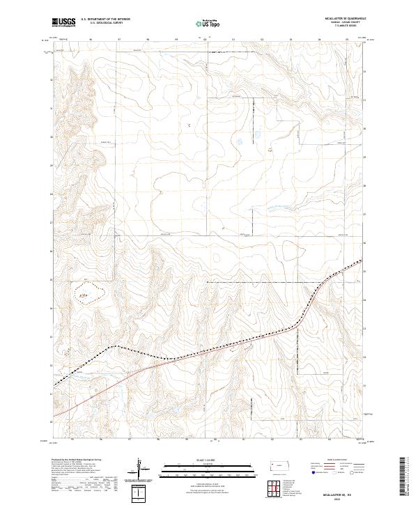
2022 McAllaster SE
Logan County, KS
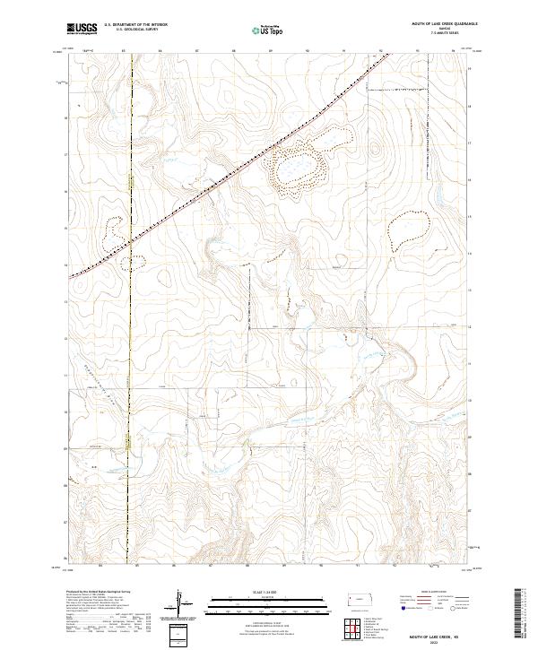
2022 Mouth of Lake Creek
Logan County, KS
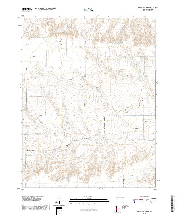
2022 Nickel Mine Spring
Logan County, KS
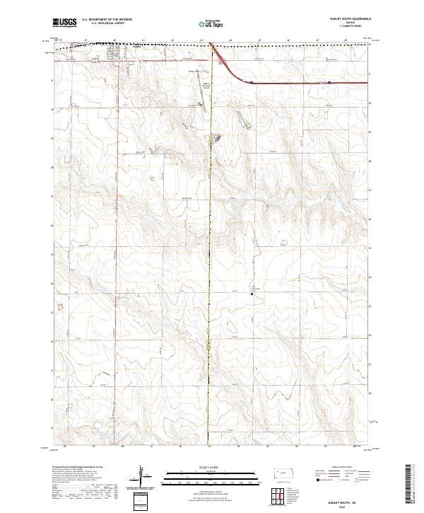
2022 Oakley South
Logan County, KS
2022 Oakley SW
Logan County, KS
2022 Russell Springs NE
Logan County, KS
2022 Russell Springs SE
Logan County, KS
2022 Twin Butte
Logan County, KS
2022 West of Russell Springs
Logan County, KS