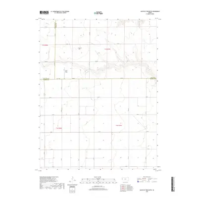
2018 Map of South of Twin Butte
USGS Topo · Published 2018About this map
Harrison Flats dominates this High Plains landscape where the boundaries of Wallace, Logan, and Wichita counties converge. The area is defined by a strictly organized grid of rural corridors, including the colorfully named Dusty Rd, Bumpy Rd, and Bison Rd. This 2018 survey reveals the persistent agricultural and ranching patterns of western Kansas, highlighted by the presence of the Aero B Ranch Airport located just north of the Wichita County line. The terrain is characterized by the gentle drainage patterns of the Coyote draws, which provide the only relief to the otherwise level agricultural tracts and rangeland. Researchers of local land use can trace the intersections of numbered county roads, such as Co Rd 100 and Co Rd Adobe, which facilitate the transport of livestock and grain across this remote section of the state.
Find a feature on this map
29 named features on this map. Tap any name to fly to it.
Don’t see what you’re looking for? This feature index may not catch every label — zoom into the map to look around manually.
Map Details
Editions of this 2018 South of Twin Butte Map
This is the sole edition of this map. No revisions or reprints were ever made.
Other maps of this area

1955 · Scott City
USGS Topo · 1:250,000

1958 · Scott City
USGS Topo · 1:250,000

1959 · Wallace
USGS Topo · 1:62,500

1968 · Russell Springs 3 SW
USGS Topo · 1:24,000

1968 · Russell Springs 3 NW
USGS Topo · 1:24,000

1968 · Russell Springs 3 SE
USGS Topo · 1:24,000

1968 · Sharon Springs 4 NE
USGS Topo · 1:24,000

1968 · Russell Springs 3 NE
USGS Topo · 1:24,000

1969 · Russell Springs 2 SW
USGS Topo · 1:24,000

1969 · Russell Springs 2 SE
USGS Topo · 1:24,000