
1968 Map of Russell Springs 3 SE
USGS Topo · Published 1969About this map
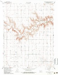
Ladder Creek and Beaver Creek dominate this High Plains landscape, where deep drainage patterns break the surface of the Edwards and Leoti regions. This 1960s survey documents a sparse agricultural environment characterized by isolated landmarks and critical water resources. Religious and civic life is centered at the Pleasant Valley Ch and its neighboring Cem, while further south, the Coronado Cem serves as a lone marker on the prairie. The map reveals a highly structured grid of section lines and numerous Well sites, underscoring the reliance on groundwater for the ranching and farming operations that define this portion of Wichita County. The intricate contouring along the creek breaks provides a clear view of the natural erosion that shapes this otherwise level terrain.
Find a feature on this map
12 named features on this map. Tap any name to fly to it.
Don’t see what you’re looking for? This feature index may not catch every label — zoom into the map to look around manually.
Map Details
Editions of this 1968 Russell Springs 3 SE Map
3 editions found
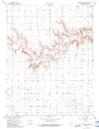
Other maps of this area

1939 · Pence
USGS Topo · 1:62,500

1941 · Modoc
USGS Topo · 1:62,500

1941 · Pence
USGS Topo · 1:62,500

1951 · Modoc
USGS Topo · 1:62,500

1955 · Scott City
USGS Topo · 1:250,000

1958 · Scott City
USGS Topo · 1:250,000

1968 · Russell Springs 3 SW
USGS Topo · 1:24,000

1968 · Russell Springs 3 NW
USGS Topo · 1:24,000

1968 · Russell Springs 3 NE
USGS Topo · 1:24,000

1970 · Leoti
USGS Topo · 1:24,000