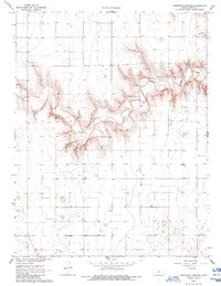
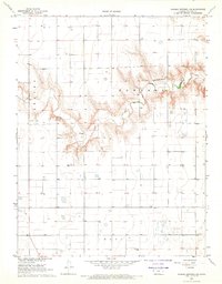
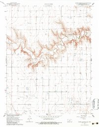
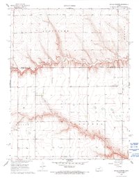
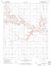
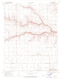
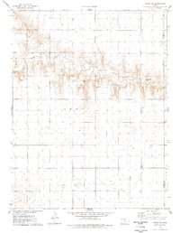
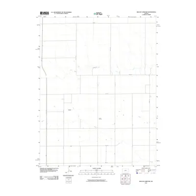
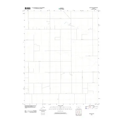
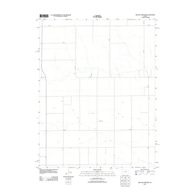
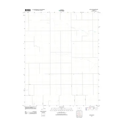
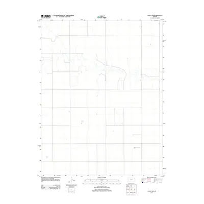
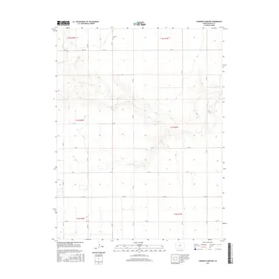
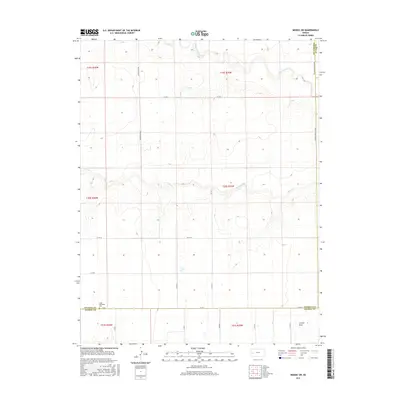
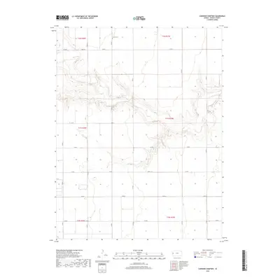
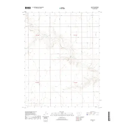
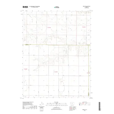
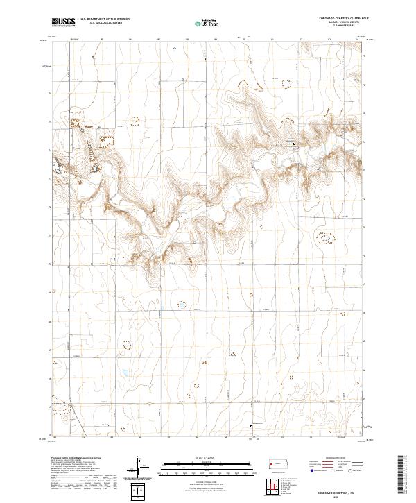
1968 Map of Coronado Cemetery
USGS Topo · Published 1993About this map
Ladder Creek carves a deep, meandering path through the High Plains of Wichita County in this late 1960s survey. The landscape is defined by the sharp transition from flat agricultural tablelands to the dissected breaks of the creek valley, where numerous wells are scattered across the township grid. Local community life is centered around the Pleasant Valley Ch and the southern Coronado Cem, which serves the surrounding rural population. The map also delineates the Leoti boundary, reflecting the regional administrative lines during a period of steady prairie land use. This survey captures the specific infrastructure of the plains, including an unnamed Cem tucked into the northern bluffs, providing a precise look at the area's late 20th-century geography.
Find a feature on this map
6 named features on this map. Tap any name to fly to it.
Don’t see what you’re looking for? This feature index may not catch every label — zoom into the map to look around manually.
Map Details
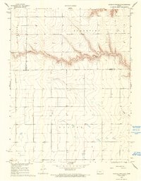
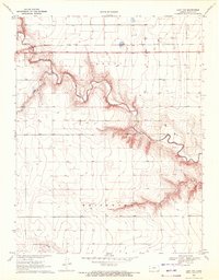
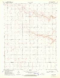
Editions of this 1968 Coronado Cemetery Map
3 editions found
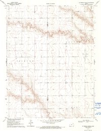
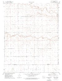
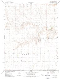
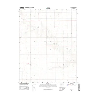
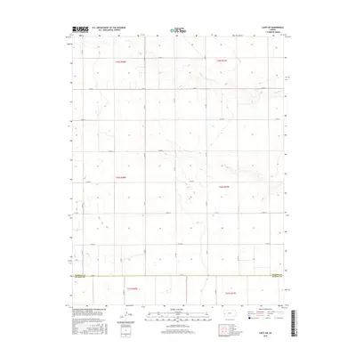
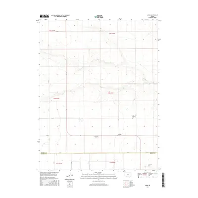
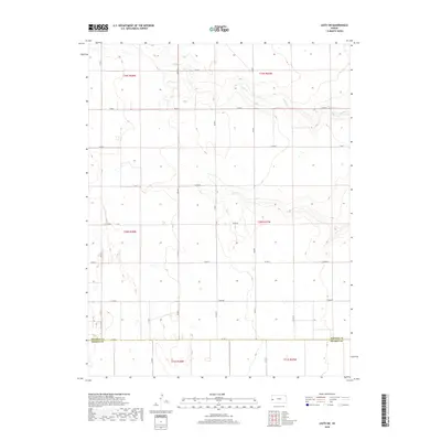
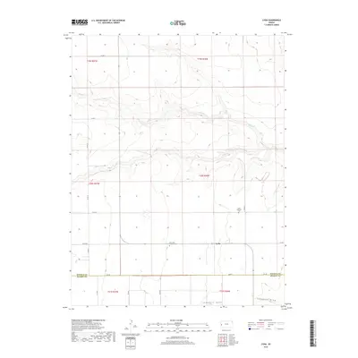
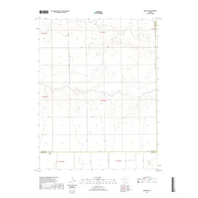
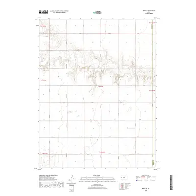
Historical Maps of Leoti Township Through Time
66 maps found
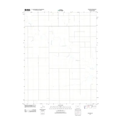
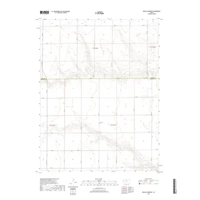
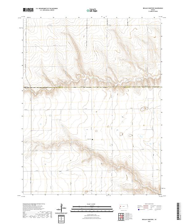
1968 Beulah Cemetery
Wichita County, KS
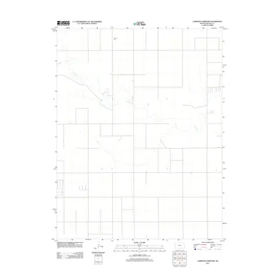
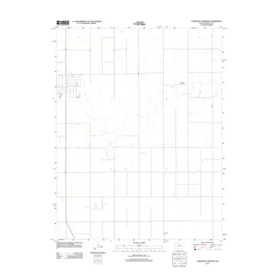
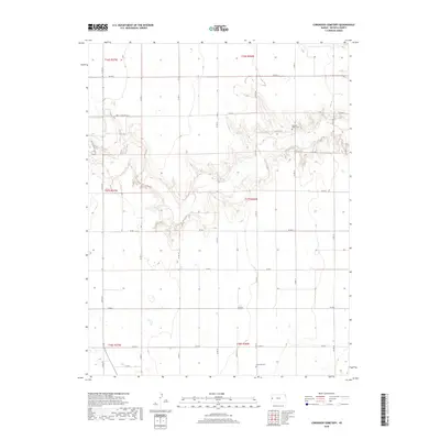
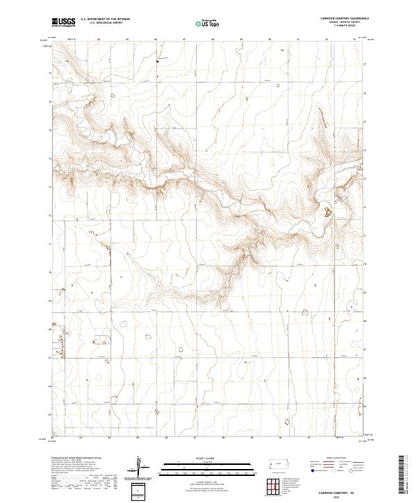
1968 Carwood Cemetery
Wichita County, KS
1968 Coronado Cemetery
Wichita County, KS
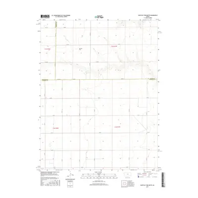
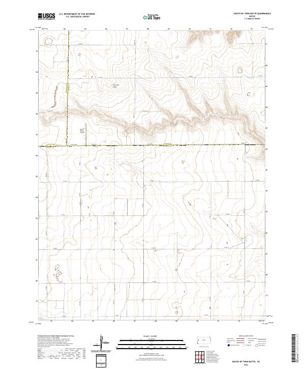
1968 South of Twin Butte
Wichita County, KS
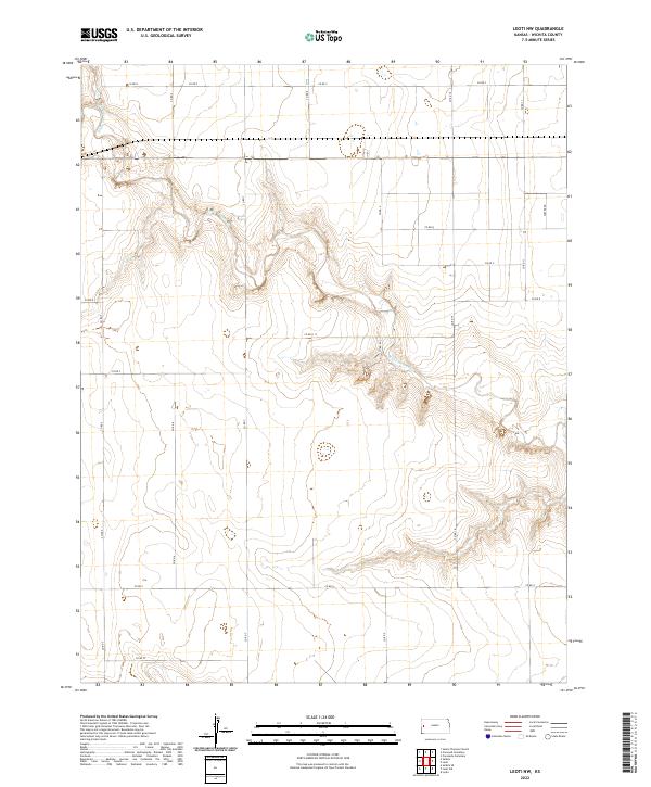
1970 Leoti NW
Wichita County, KS
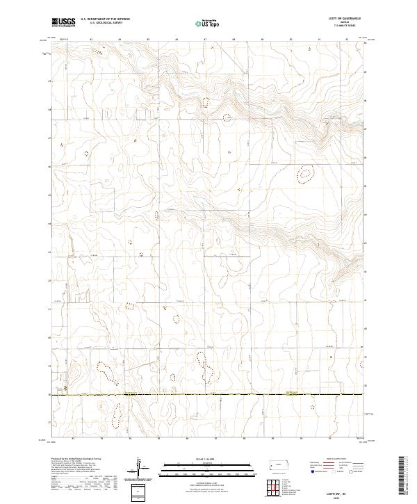
1970 Leoti SW
Wichita County, KS
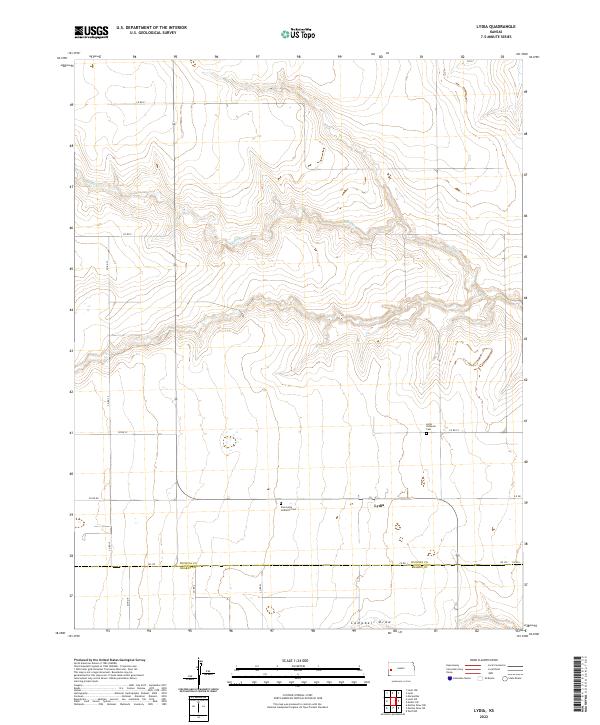
1970 Lydia
Wichita County, KS
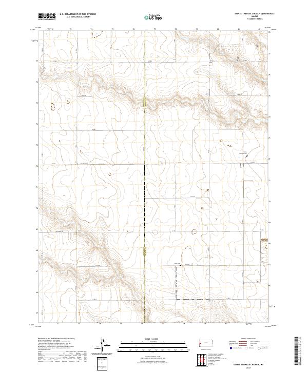
1970 St. Theresa Church
Wichita County, KS
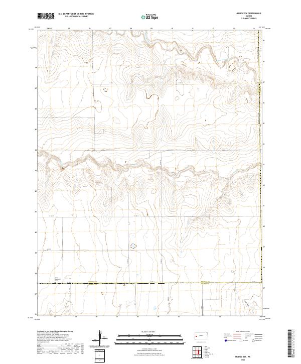
1976 Modoc SW
Wichita County, KS
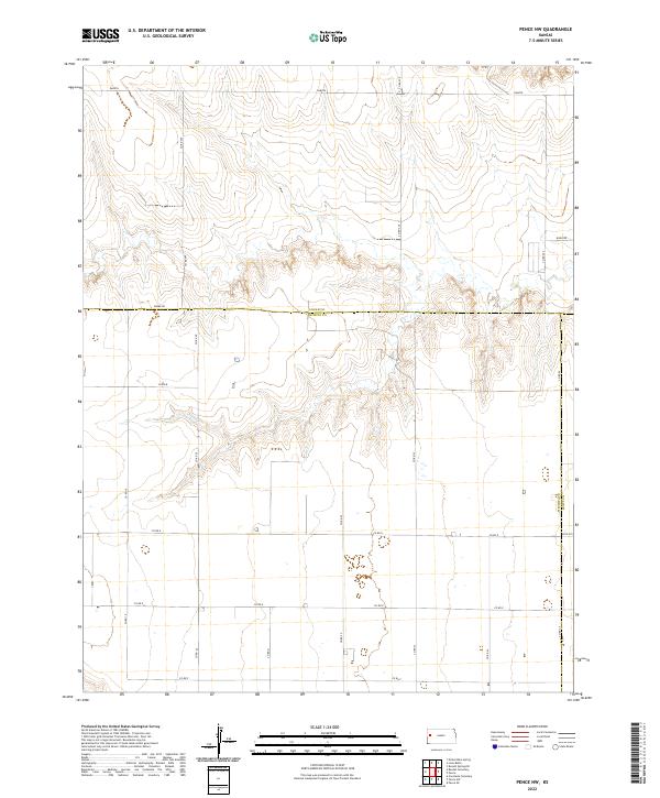
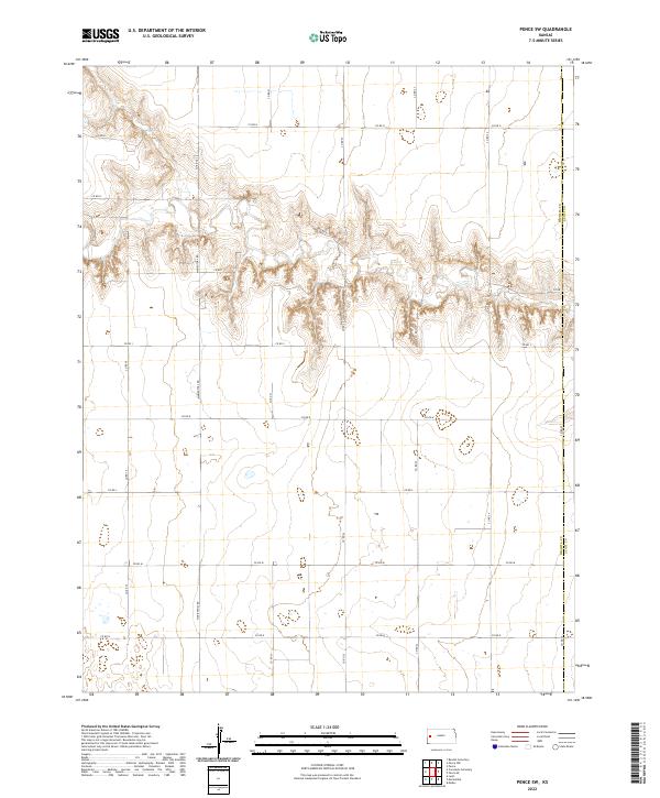
1976 Pence NW
Wichita County, KS
1976 Pence SW
Wichita County, KS
2009 Modoc SW
Wichita County, KS
2009 Pence NW
Wichita County, KS
2009 Pence SW
Wichita County, KS
2010 Beulah Cemetery
Wichita County, KS
2010 Carwood Cemetery
Wichita County, KS
2010 Coronado Cemetery
Wichita County, KS
2010 Leoti NW
Wichita County, KS
2010 Leoti SW
Wichita County, KS
2010 Lydia
Wichita County, KS
2010 Sainte Theresa Church
Wichita County, KS
2010 South of Twin Butte
Wichita County, KS
2012 Beulah Cemetery
Wichita County, KS
2012 Carwood Cemetery
Wichita County, KS
2012 Coronado Cemetery
Wichita County, KS
2012 Leoti NW
Wichita County, KS
2012 Leoti SW
Wichita County, KS
2012 Lydia
Wichita County, KS
2012 Modoc SW
Wichita County, KS
2012 Pence NW
Wichita County, KS
2012 Pence SW
Wichita County, KS
2012 Sainte Theresa Church
Wichita County, KS
2012 South of Twin Butte
Wichita County, KS
2015 Beulah Cemetery
Wichita County, KS
2015 Carwood Cemetery
Wichita County, KS

2015 Coronado Cemetery
Wichita County, KS
2015 Leoti NW
Wichita County, KS
2015 Leoti SW
Wichita County, KS
2015 Lydia
Wichita County, KS
2015 Modoc SW
Wichita County, KS
2015 Pence NW
Wichita County, KS
2015 Pence SW
Wichita County, KS
2015 Sainte Theresa Church
Wichita County, KS
2016 South of Twin Butte
Wichita County, KS
2018 Beulah Cemetery
Wichita County, KS
2018 Carwood Cemetery
Wichita County, KS
2018 Coronado Cemetery
Wichita County, KS
2018 Leoti NW
Wichita County, KS
2018 Leoti SW
Wichita County, KS
2018 Lydia
Wichita County, KS
2018 Modoc SW
Wichita County, KS
2018 Pence NW
Wichita County, KS
2018 Pence SW
Wichita County, KS
2018 Sainte Theresa Church
Wichita County, KS
2018 South of Twin Butte
Wichita County, KS
2022 Beulah Cemetery
Wichita County, KS
2022 Carwood Cemetery
Wichita County, KS
2022 Coronado Cemetery
Wichita County, KS
2022 Leoti NW
Wichita County, KS
2022 Leoti SW
Wichita County, KS
2022 Lydia
Wichita County, KS
2022 Modoc SW
Wichita County, KS
2022 Pence NW
Wichita County, KS
2022 Pence SW
Wichita County, KS
2022 Sainte Theresa Church
Wichita County, KS
2022 South of Twin Butte
Wichita County, KS