Old Maps of Weskan, Weskan Township for Academic Research
Study the evolution of Weskan with 10 high-resolution historic maps. Whether you're teaching, researching, or modeling changes in land use, these maps provide essential visual documentation of urban, environmental, and geographic change.
- Analyze long-term change: Track patterns in development, transportation, and natural features.
- Ideal for environmental or urban studies: Support academic projects with primary historical map data.
- Use in the classroom or lab: Educators and researchers rely on these maps to bring historical context to life.
These maps are a powerful tool for teaching, research, and visualizing how Weskan has changed over the decades.
Weskan, Weskan Township maps
(10)- 1955 Map of Scott City, 1969 Print
 1955 Scott City1969 Print · USGSWestern Kansas in the mid-fifties is captured here as a landscape of rural schoolhouses and significant rail corridors. Family historians can trace the locations of Skyline and Beaver Creek Schools or follow the Union Pacific line through Oakley and Sharon Springs.4 unique versions available
 - 1958 Map of Scott City
 1958 Scott City1958 Print · USGSWestern Kansas at the peak of the post-war era reveals a landscape of high-plains agriculture and vital rail junctions. Genealogists and historians can trace old country school sites like Prairie Bell School, the landmark Chalk Pyramids, and small stops along the Union Pacific and Missouri Pacific.
 - 1959 Map of Weskan, 1960 Print
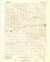 1959 Weskan1960 Print · USGSWallace County in the late 1950s was a land of railroad sidings and river breaks, centered on the Union Pacific line. Genealogists and historians can trace local landmarks like Weskan Cem, the water at Old Maid Pool, and the siding of Sunland.
 - 1979 Map of Weskan, 1980 Print
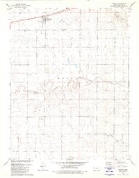 1979 Weskan1980 Print · USGSWeskan and the surrounding Wallace County plains are captured in the late seventies as the rail-and-ranch economy persisted. Genealogists and local historians can trace the Union Pacific line, locate the Weskan Cem, and follow the breaks of Ladder Creek.
 - 1985 Map of Sharon Springs
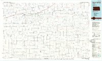 1985 Sharon Springs1985 Print · USGSWestern Kansas at the mid-eighties reveals a landscape shaped by the Union Pacific and the historic Butterfield Overland Trail. Researchers can trace the frontier legacy of the Fort Wallace (site) and explore rural landmarks from Weskan to Russell Springs.2 unique versions available
 - 2009 Map of Weskan, 2009 Print
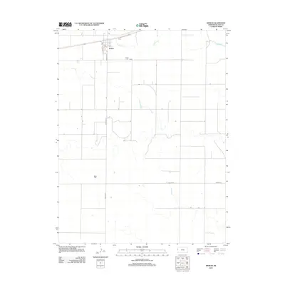
 2009 Weskan2009 Print · USGSCovers Weskan, including Weskan Township, Wallace County, and other nearby areas
 - 2012 Map of Weskan, 2012 Print
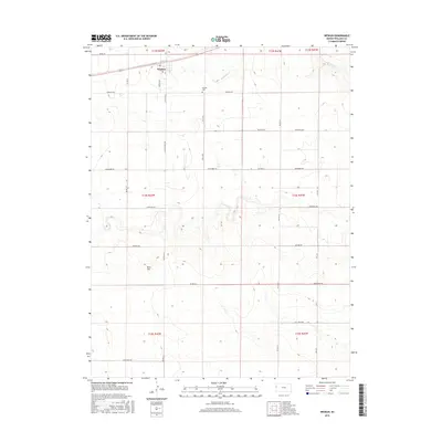
 2012 Weskan2012 Print · USGSCovers Weskan, including Weskan Township, Wallace County, and other nearby areas
 - 2015 Map of Weskan, 2015 Print
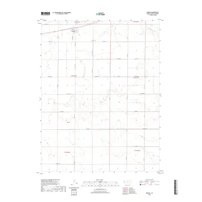
 2015 Weskan2015 Print · USGSCovers Weskan, including Weskan Township, Wallace County, and other nearby areas
 - 2018 Map of Weskan, 2018 Print
 2018 Weskan2018 Print · USGSCovers Weskan, including Weskan Township, Wallace County, and other nearby areas
 - 2022 Map of Weskan, 2022 Print
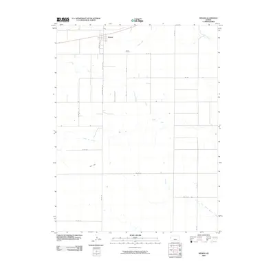
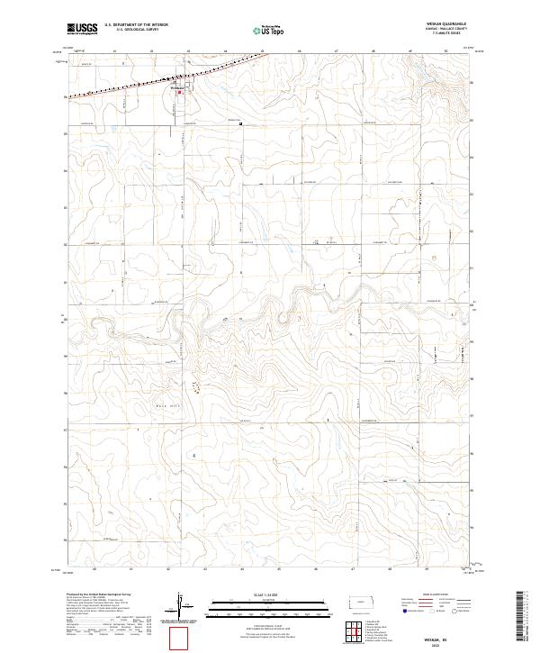 2022 Weskan2022 Print · USGSWeskan and the high plains of western Kansas are captured here as they appeared in 2022, showcasing a land defined by its grid of country roads. Genealogists and local historians can locate Weskan Cem and trace the landscape around Rock Hill and Eagletail Cr.
End of results
Showing maps 1-10 of 10
Top cities near Weskan
Frequently asked questions
- What are the different types of historical maps available for Weskan?
- What is the oldest map of Weskan?
- Where can I purchase historical maps of Weskan for my home or office?
- Where can I download high-res historical maps of Weskan?
- Are there historical topographic maps available for Weskan?
- Is there historical aerial imagery available for Weskan?
- Where are historical maps of Weskan sourced from?