Old Maps of Barnes, Kansas for Academic Research
Study the evolution of Barnes with 18 high-resolution historic maps. Whether you're teaching, researching, or modeling changes in land use, these maps provide essential visual documentation of urban, environmental, and geographic change.
- Analyze long-term change: Track patterns in development, transportation, and natural features.
- Ideal for environmental or urban studies: Support academic projects with primary historical map data.
- Use in the classroom or lab: Educators and researchers rely on these maps to bring historical context to life.
These maps are a powerful tool for teaching, research, and visualizing how Barnes has changed over the decades.
Barnes, KS maps
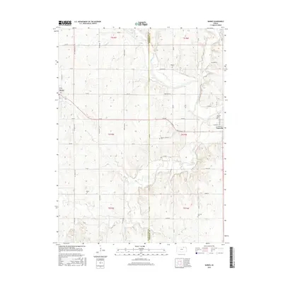
(18)- 1889 Map of Marysville
 1889 Marysville1889 Print · USGSMarshall County in the late nineteenth century was a bustling nexus of river trade and steam rail expansion. Genealogists and historians can trace early town sites like Marysville, Blue Rapids, and Irving along the Little Blue River and major rail lines.
 - 1894 Map of Marysville
 1894 Marysville1894 Print · USGSMarshall County's river valleys and railroad corridors are intricately detailed in the 1880s, before modern highway expansion altered the rural landscape. Genealogists can locate family lands near Ballard Falls, Bremen, or the rail junctions at Marysville.4 unique versions available
 - 1955 Map of Manhattan, 1964 Print
 1955 Manhattan1964 Print · USGSNorth Central Kansas is captured here in the mid-fifties, just as major flood control projects began reshaping the river valleys. Genealogists can locate family sites near St. Joseph Church, Sunset Cemetery, or along the busy tracks of the Rock Island RR.4 unique versions available
 - 1956 Map of Manhattan
 1956 Manhattan1956 Print · USGSNorth-central Kansas in the mid-fifties reveals a landscape defined by the convergence of the Republican River and Smoky Hill River. Historians can trace the rail corridors of the Union Pacific RR and Missouri Pacific RR through towns like Manhattan and Clay Center.
 - 1957 Map of Manhattan
 1957 Manhattan1957 Print · USGSNortheast Kansas in the mid-1950s reveals a landscape of expanding military installations and new water projects. Genealogists and historians can trace the rail-to-river economy through the Union Pacific RR and old settlements like Clay Center or Marysville.
 - 1968 Map of Greenleaf, 1969 Print
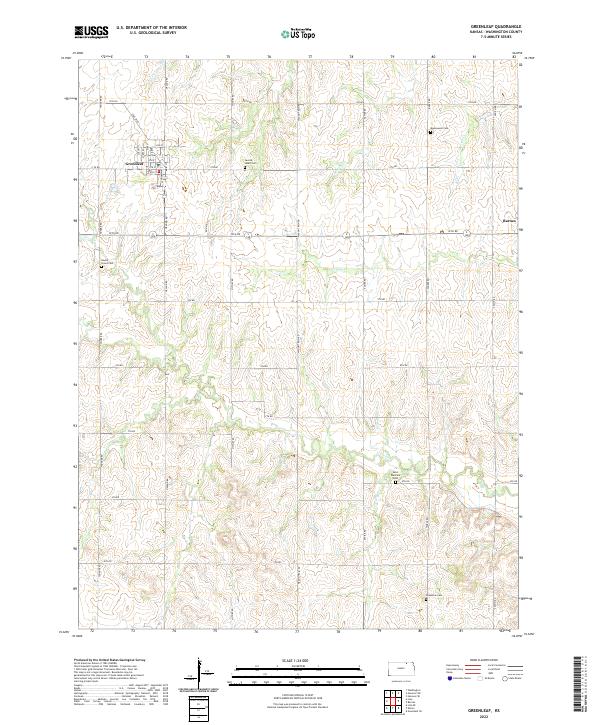
 1968 Greenleaf1969 Print · USGSWashington County at the end of the sixties shows a landscape of rail-connected towns and quiet prairie townships. Genealogists and historians can locate numerous rural burial grounds like Chepstow Cem and Maplewood Cem or trace the Missouri Pacific line through Greenleaf.2 unique versions available
 - 1968 Map of Barnes, 1970 Print
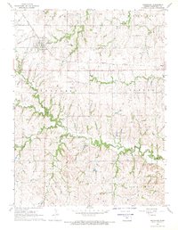
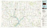
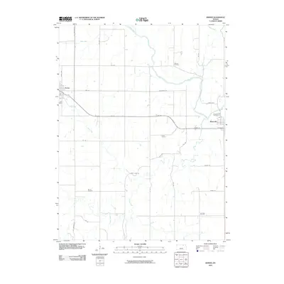
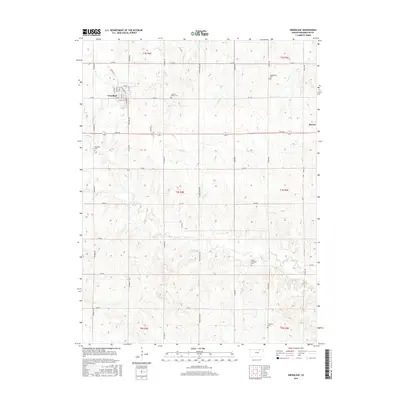
 1968 Barnes1970 Print · USGSNorth-central Kansas at the end of the sixties shows a landscape defined by the winding Little Blue River and the expanding Tuttle Creek Reservoir. Genealogists and local historians can trace rural family plots at Riverside Cem and Kenyon Cem or follow the path of the Missouri Pacific railroad.2 unique versions available
 - 1986 Map of Blue Rapids
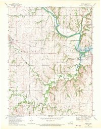
 1986 Blue Rapids1986 Print · USGSNortheast Kansas in the mid-eighties was a landscape of river-valley towns and steady rail lines. Researchers can trace family ties and early settlements from Hollenberg and Marysville down to the shores of Tuttle Creek Lake and the Big Blue River.2 unique versions available
 - 2009 Map of Greenleaf, 2009 Print
 2009 Greenleaf2009 Print · USGSCovers Barnes, including Greenleaf, Washington County, and other nearby areas
 - 2009 Map of Barnes, 2009 Print
 2009 Barnes2009 Print · USGSCovers Barnes, including Waterville, Marshall County, and other nearby areas
 - 2012 Map of Barnes, 2012 Print
 2012 Barnes2012 Print · USGSCovers Barnes, including Waterville, Marshall County, and other nearby areas
 - 2012 Map of Greenleaf, 2012 Print
 2012 Greenleaf2012 Print · USGSCovers Barnes, including Greenleaf, Washington County, and other nearby areas
 - 2016 Map of Barnes, 2016 Print
 2016 Barnes2016 Print · USGSCovers Barnes, including Waterville, Marshall County, and other nearby areas
 - 2016 Map of Greenleaf, 2016 Print
 2016 Greenleaf2016 Print · USGSCovers Barnes, including Greenleaf, Washington County, and other nearby areas
 - 2018 Map of Greenleaf, 2018 Print
 2018 Greenleaf2018 Print · USGSCovers Barnes, including Greenleaf, Washington County, and other nearby areas
 - 2018 Map of Barnes, 2018 Print
 2018 Barnes2018 Print · USGSCovers Barnes, including Waterville, Marshall County, and other nearby areas
 - 2022 Map of Greenleaf, 2022 Print
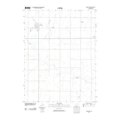
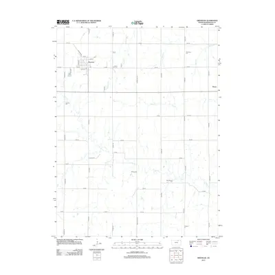
 2022 Greenleaf2022 Print · USGSThe town of Greenleaf and the settlement of Barnes are captured here in the early twenty-first century. Genealogists can trace family roots at Maplewood Cem, Chepstow Cem, and Round Grove Cem among the creeks of Washington County.
 - 2022 Map of Barnes, 2022 Print
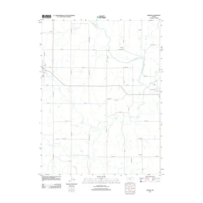
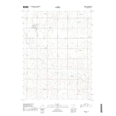
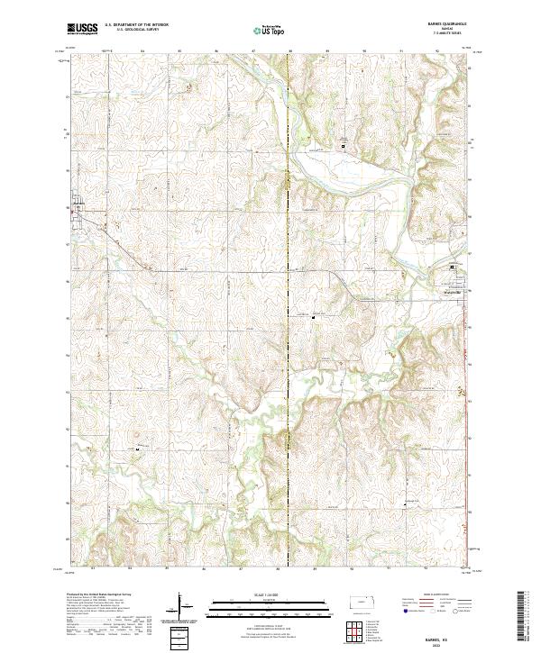 2022 Barnes2022 Print · USGSThe river valley and prairie hills of the Washington-Marshall county line are captured here in the early twenty-first century. Researchers can trace rural lineages through the locations of Mount Pleasant Cem, Harbaugh Cem, and Kenyon Cem.
End of results
Showing maps 1-18 of 18
Top cities near Barnes
- Marysville historical maps
- Washington historical maps
- Blue Rapids historical maps
- Waterville historical maps
- Hanover historical maps
- Linn historical maps
See more
Frequently asked questions
- What are the different types of historical maps available for Barnes?
- What is the oldest map of Barnes?
- Where can I purchase historical maps of Barnes for my home or office?
- Where can I download high-res historical maps of Barnes?
- Are there historical topographic maps available for Barnes?
- Is there historical aerial imagery available for Barnes?
- Where are historical maps of Barnes sourced from?