Old Maps of Benedict, Kansas for Genealogy
Trace your family roots with 19 historic maps of Benedict. These high-res maps reveal old neighborhoods, homesites, landmarks, and streets — helping you uncover where your ancestors lived and how the area evolved over time.
- Explore historic neighborhoods: Identify where your relatives may have lived in the 1800s or 1900s.
- Compare maps over time: Trace the changes in streets, buildings, and landmarks for multi-generational research.
- Perfect for genealogy & ancestry research: Used by family historians and researchers to map out lineage and migration.
These maps are an incredible resource for exploring your personal connection to Benedict's past.
Benedict, KS maps
(19)- 1886 Map of Fredonia
 1886 Fredonia1886 Print · USGSSoutheast Kansas in the mid-1880s was a land of emerging rail hubs and river valley settlements. Researchers can trace early railroad expansion through Fredonia and Yates Center or locate long-standing communities like Toronto, New Albany, and Coyville.
 - 1894 Map of Fredonia
 1894 Fredonia1894 Print · USGSSoutheast Kansas is documented here during a period of rapid railway expansion and prairie settlement. Genealogists and local researchers can trace the early footprints of Fredonia, Yates Center, and vanished sites like Twin Mounds or Coyville.6 unique versions available
 - 1938 Map of Fredonia, 1965 Print
 1938 Fredonia1965 Print · USGSSoutheast Kansas in the late thirties is revealed here as a bustling network of rail-side towns and rural school districts. Genealogists can trace family roots through dozens of local landmarks like Caley Cem, Leeper Bridge, and the St Francis Ch.2 unique versions available
 - 1939 Map of Fredonia
 1939 Fredonia1939 Print · USGSThe river valleys of Wilson and Woodson counties are captured here in the late 1930s, showing a landscape defined by agriculture and rail. Genealogists can trace rural family roots through dozens of local school sites like Forty Four Sch and Ten Penny Sch, or the streets of Fredonia and Coyville.2 unique versions available
 - 1942 Map of Fredonia
 1942 Fredonia1942 Print · USGSThe rail crossroads at Fredonia and the winding river valleys of Wilson County are captured here just before the mid-century. Genealogists can trace rural life through dozens of local landmarks like Old Taylor Cem, Coyville, and the Needmore Sch.
 - 1943 Map of Fredonia
 1943 Fredonia1943 Print · USGSSoutheast Kansas at the dawn of the 1940s reveals a landscape of river-valley towns and dozens of rural school districts. Genealogists can trace family footprints through numerous country schools like Ten Penny Sch and the Jackson Cem near New Albany.2 unique versions available
 - 1947 Map of Joplin, 1954 Print
 1947 Joplin1954 Print · USGSThe borderlands of Missouri, Kansas, and Oklahoma are shown here during the late 1940s, a period of heavy industrial and military activity. Researchers can trace the extensive Tri-State Mining District, the layout of Camp Crowder, and local landmarks like Mount Hope Cem.
 - 1949 Map of Joplin
 1949 Joplin1949 Print · USGSThe Kansas-Missouri borderlands thrive in the late 1940s, showing a robust network of railroad towns and river valleys. Researchers can trace historic rail lines like the Missouri Pacific RR and locate rural centers such as Chanute, Iola, and Fort Scott.
 - 1954 Map of Joplin, 1967 Print
 1954 Joplin1967 Print · USGSThe tri-state border region of Kansas, Missouri, and Oklahoma is captured here during a peak era of mid-century industrial and agricultural activity. Researchers can trace family history through dozens of rural cemeteries or locate landmarks like the Kansas Army Ammunition Plant and Pittsburg State University.3 unique versions available
 - 1958 Map of Joplin
 1958 Joplin1958 Print · USGSThe tri-state border region of Missouri, Kansas, and Oklahoma is shown during the late fifties, a time of heavy rail traffic and mining activity. Local historians can trace the industrial landscape through the Joplin & Pittsburg Ry or locate family sites like Zion Ch and Bender Mounds.
 - 1959 Map of Joplin
 1959 Joplin1959 Print · USGSThe Tri-State region’s mining and rail-driven economy is on full display in the late fifties. Genealogists can locate Lead and Zinc Mines near Joplin, family markers at Oak Hill Cem, and military history at Camp Clark.
 - 1975 Map of Middletown, 1978 Print
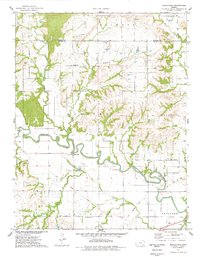 1975 Middletown1978 Print · USGSThe Verdigris River valley and the settlement of Middletown are captured here in the mid-seventies before further modernization changed the rural Kansas landscape. Researchers can trace family history at Farmington Cem, locate landmarks like Moss Bridge, and follow the path of an Old RR Grade.
 - 1985 Map of Chanute, 1986 Print
 1985 Chanute1986 Print · USGSSoutheast Kansas in the mid-1980s reveals a robust landscape of river-valley agriculture and intersecting rail lines through Neosho and Allen counties. Genealogists and local historians can trace family roots through small settlements like Piqua, locate the Mt Hope Cem, or follow the path of the Old Indian Treaty Boundary.
 - 1990 Map of Chanute
 1990 Chanute1990 Print · USGSSoutheast Kansas at the start of the nineties reveals a landscape of river-valley towns and agricultural hubs. Researchers can trace the paths of the Missouri Pacific RR through Iola or locate family roots near Savonburg, Thayer, and Buffalo.
 - 2009 Map of Middletown, 2009 Print
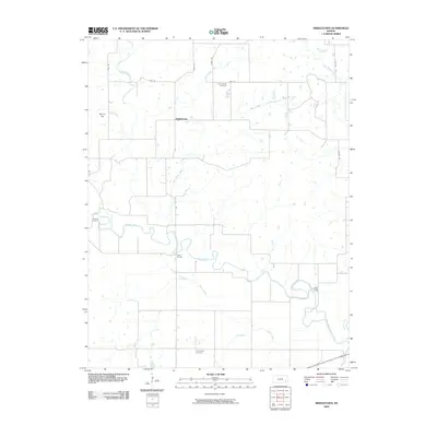 2009 Middletown2009 Print · USGSSoutheast Kansas at the start of the twenty-first century reveals a landscape shaped by the winding Verdigris River and a deep-rooted farming heritage. Genealogists and local historians can locate early burial sites like Little Sandy Cemetery and Trimmell Cemetery, or trace old crossings at Moss Bridge.
 - 2012 Map of Middletown, 2012 Print
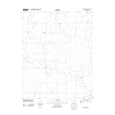 2012 Middletown2012 Print · USGSWilson County, Kansas, is documented here in the early 21st century as a landscape shaped by the winding Verdigris River. Researchers can trace old family burial sites at Farmington Cem or locate historic river crossings at Moss Bridge and Leeper Bridge.
 - 2015 Map of Middletown, 2015 Print
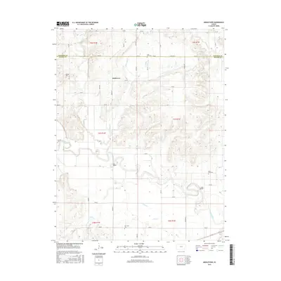 2015 Middletown2015 Print · USGSSoutheastern Kansas river country is captured here in the mid-2010s, where the winding Verdigris River dominates the rural landscape. Researchers can locate family roots at several remote burial sites like Maple Grove Cem and trace old river crossings at Moss Bridge.
 - 2018 Map of Middletown, 2018 Print
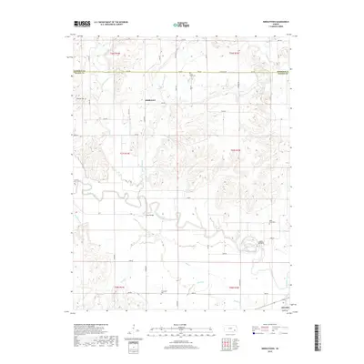 2018 Middletown2018 Print · USGSSoutheast Kansas at the Wilson and Woodson county line is shown here in the late 2010s. Researchers can trace the winding Verdigris River and locate historic rural burial grounds like Farmington Cem and Trimmell Cem.
 - 2022 Map of Middletown, 2022 Print
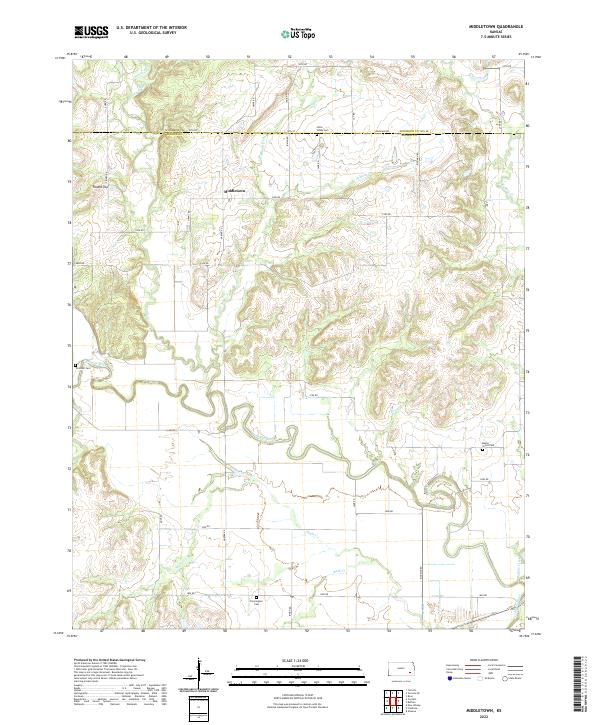 2022 Middletown2022 Print · USGSSoutheast Kansas at the start of the 2020s remains a landscape of quiet section roads and winding river valleys. Genealogists can locate several rural burial grounds including Trimmell Cem and Maple Grove Cem near the banks of the Verdigris River.
End of results
Showing maps 1-19 of 19
Top cities near Benedict
- Neodesha historical maps
- Fredonia historical maps
- Yates Center historical maps
- Altoona historical maps
- Toronto historical maps
- Buffalo historical maps
See more
Frequently asked questions
- What are the different types of historical maps available for Benedict?
- What is the oldest map of Benedict?
- Where can I purchase historical maps of Benedict for my home or office?
- Where can I download high-res historical maps of Benedict?
- Are there historical topographic maps available for Benedict?
- Is there historical aerial imagery available for Benedict?
- Where are historical maps of Benedict sourced from?