Old Maps of Buffalo, Kansas for Metal Detecting
Plan your next treasure hunt with 18 historic maps of Buffalo. Find old homesites, ghost towns, trails, and gathering spots that may be lost to time — perfect for identifying promising metal detecting locations.
- Locate forgotten sites: Uncover places like long-lost settlements, abandoned rail lines, or gathering spots.
- Plan better hunts: Use map overlays combined with LiDAR or satellite views to narrow in on historically rich areas.
- Made for detectorists: Thousands of hobbyists use these maps to discover relics, coins, and hidden history.
Use these historic maps to boost your research and find new opportunities beneath the surface of Buffalo.
Buffalo, KS maps
(18)- 1886 Map of Fredonia
 1886 Fredonia1886 Print · USGSSoutheast Kansas in the mid-1880s was a land of emerging rail hubs and river valley settlements. Researchers can trace early railroad expansion through Fredonia and Yates Center or locate long-standing communities like Toronto, New Albany, and Coyville.
 - 1894 Map of Fredonia
 1894 Fredonia1894 Print · USGSSoutheast Kansas is documented here during a period of rapid railway expansion and prairie settlement. Genealogists and local researchers can trace the early footprints of Fredonia, Yates Center, and vanished sites like Twin Mounds or Coyville.6 unique versions available
 - 1938 Map of Altoona, 1966 Print
 1938 Altoona1966 Print · USGSSoutheast Kansas in the late thirties was a landscape of dense rural communities and winding river valleys. Researchers can trace family history through dozens of named country schoolhouses like Ninety Nine Sch and Five Mounds Sch, or locate family plots at Buffalo Cem.
 - 1939 Map of Altoona
 1939 Altoona1939 Print · USGSSoutheast Kansas is shown at its rural peak in the late thirties, when the Verdigris River valley was dotted with small schoolhouses and family farms. Researchers can locate numerous local landmarks like Sorghum Valley Sch, Buffalo Cem, and the crossing at Barnhill Bridge.
 - 1943 Map of Altoona
 1943 Altoona1943 Print · USGSSoutheast Kansas comes alive in the late thirties as a landscape of river-valley farms and rail-connected towns. Genealogists can trace family roots through an exceptional density of country schools and churches, from Ninety Nine Sch to the Vilas Bethel Ch.2 unique versions available
 - 1947 Map of Joplin, 1954 Print
 1947 Joplin1954 Print · USGSThe borderlands of Missouri, Kansas, and Oklahoma are shown here during the late 1940s, a period of heavy industrial and military activity. Researchers can trace the extensive Tri-State Mining District, the layout of Camp Crowder, and local landmarks like Mount Hope Cem.
 - 1949 Map of Joplin
 1949 Joplin1949 Print · USGSThe Kansas-Missouri borderlands thrive in the late 1940s, showing a robust network of railroad towns and river valleys. Researchers can trace historic rail lines like the Missouri Pacific RR and locate rural centers such as Chanute, Iola, and Fort Scott.
 - 1954 Map of Joplin, 1967 Print
 1954 Joplin1967 Print · USGSThe tri-state border region of Kansas, Missouri, and Oklahoma is captured here during a peak era of mid-century industrial and agricultural activity. Researchers can trace family history through dozens of rural cemeteries or locate landmarks like the Kansas Army Ammunition Plant and Pittsburg State University.3 unique versions available
 - 1958 Map of Joplin
 1958 Joplin1958 Print · USGSThe tri-state border region of Missouri, Kansas, and Oklahoma is shown during the late fifties, a time of heavy rail traffic and mining activity. Local historians can trace the industrial landscape through the Joplin & Pittsburg Ry or locate family sites like Zion Ch and Bender Mounds.
 - 1959 Map of Joplin
 1959 Joplin1959 Print · USGSThe Tri-State region’s mining and rail-driven economy is on full display in the late fifties. Genealogists can locate Lead and Zinc Mines near Joplin, family markers at Oak Hill Cem, and military history at Camp Clark.
 - 1959 Map of Buffalo, 1960 Print
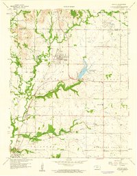 1959 Buffalo1960 Print · USGSThe Wilson and Woodson County border comes alive in the late 1950s, showing a landscape defined by rail lines and rural community centers. Trace local roots at Buffalo Cem or follow the legacy of the Missouri Pacific railroad through Buffalo and Roper.2 unique versions available
 - 1985 Map of Chanute, 1986 Print
 1985 Chanute1986 Print · USGSSoutheast Kansas in the mid-1980s reveals a robust landscape of river-valley agriculture and intersecting rail lines through Neosho and Allen counties. Genealogists and local historians can trace family roots through small settlements like Piqua, locate the Mt Hope Cem, or follow the path of the Old Indian Treaty Boundary.
 - 1990 Map of Chanute
 1990 Chanute1990 Print · USGSSoutheast Kansas at the start of the nineties reveals a landscape of river-valley towns and agricultural hubs. Researchers can trace the paths of the Missouri Pacific RR through Iola or locate family roots near Savonburg, Thayer, and Buffalo.
 - 2009 Map of Buffalo, 2009 Print
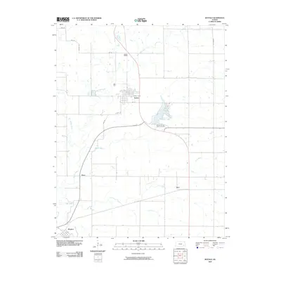 2009 Buffalo2009 Print · USGSWilson County at the end of the first decade of the 2000s shows a landscape of established rural towns and managed waterways. Researchers can trace family history at the Buffalo Cemetery or explore the geography around Rest, Benedict, and Wilson County State Lake.
 - 2012 Map of Buffalo, 2012 Print
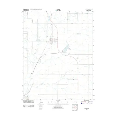 2012 Buffalo2012 Print · USGSBuffalo and the surrounding Wilson County plains are shown in the early twenty-first century as a landscape of grid-patterned farms and winding creek beds. Genealogists and local historians can trace the small communities of Roper and Rest, or locate family sites near Buffalo Cemetery and Wilson County State Lake.
 - 2015 Map of Buffalo, 2015 Print
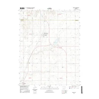 2015 Buffalo2015 Print · USGSWilson County's northern townships are captured here in the mid-2010s, centered on the community of Buffalo and the nearby Wilson County State Lake. Genealogists and local historians can locate family plots at Buffalo Cem and trace the small rural junctions of Roper, Rest, and Benedict.
 - 2018 Map of Buffalo, 2018 Print
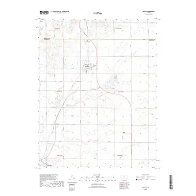 2018 Buffalo2018 Print · USGSBuffalo and its surrounding Kansas prairies are captured here in the late twenty-teens, showing the enduring rural layout of Wilson County. Genealogists and local historians can trace family locations near Buffalo Cem or follow the historic rail-aligned streets of Buffalo and Benedict.
 - 2022 Map of Buffalo, 2022 Print
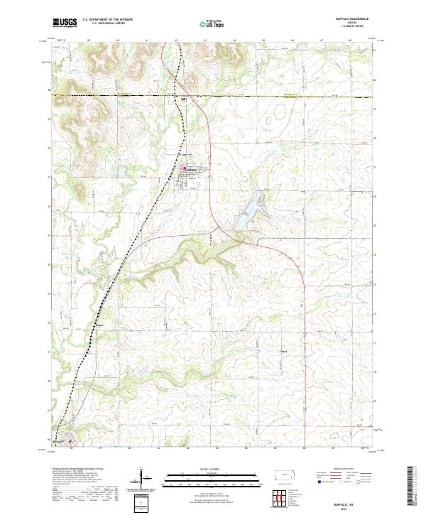 2022 Buffalo2022 Print · USGSWilson County, Kansas, is documented here in the early twenty-first century, showing a landscape defined by prairie agriculture and small crossroads settlements. Genealogists and local historians can trace family locations near Buffalo, Roper, and Rest, or find ancestral sites at the Buffalo Cem.
End of results
Showing maps 1-18 of 18
Top cities near Buffalo
- Chanute historical maps
- Fredonia historical maps
- Yates Center historical maps
- Thayer historical maps
- Altoona historical maps
- Guilford historical maps
See more
Frequently asked questions
- What are the different types of historical maps available for Buffalo?
- What is the oldest map of Buffalo?
- Where can I purchase historical maps of Buffalo for my home or office?
- Where can I download high-res historical maps of Buffalo?
- Are there historical topographic maps available for Buffalo?
- Is there historical aerial imagery available for Buffalo?
- Where are historical maps of Buffalo sourced from?