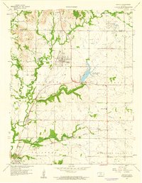
1959 Map of Buffalo
USGS Topo · Published 1960About this map
Buffalo is the central hub of this eastern Kansas landscape, situated where the Missouri Pacific railroad cuts through the terrain. The area reflects a mid-century period of diverse land use, from the small settlements of Roper and Rest to the industrial activity at the Claypit and various scattered Oil Wells. The rail network is particularly prominent, with the Atchison Topeka and Santa Fe line running through the southern portion of the quadrangle near Benedict.
Find a feature on this map
28 named features on this map. Tap any name to fly to it.
Don’t see what you’re looking for? This feature index may not catch every label — zoom into the map to look around manually.
Map Details
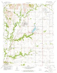
Editions of this 1959 Buffalo Map
2 editions found
Other maps of this area

1886 · Fredonia
USGS Topo · 1:125,000

1894 · Fredonia
USGS Topo · 1:125,000

1938 · Fredonia
USGS Topo · 1:62,500

1938 · Altoona
USGS Topo · 1:62,500

1939 · Altoona
USGS Topo · 1:48,000

1939 · Fredonia
USGS Topo · 1:48,000

1942 · Fredonia
USGS Topo · 1:62,500

1943 · Fredonia
USGS Topo · 1:62,500

1943 · Altoona
USGS Topo · 1:62,500

1947 · Joplin
USGS Topo · 1:250,000