Loading...
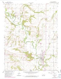
Loading map...1943 Map of Altoona
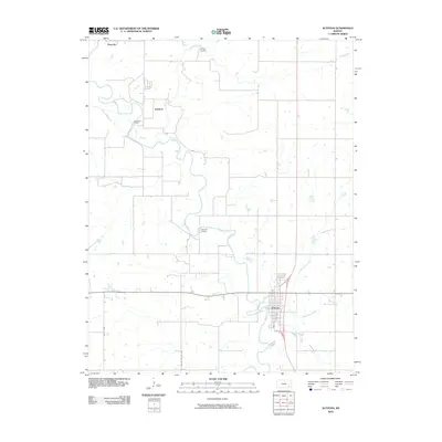
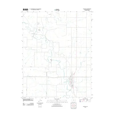
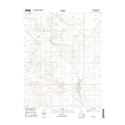
USGS Topo · Published 1943About this map
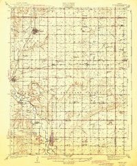
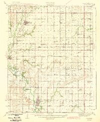
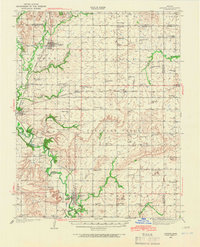
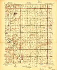
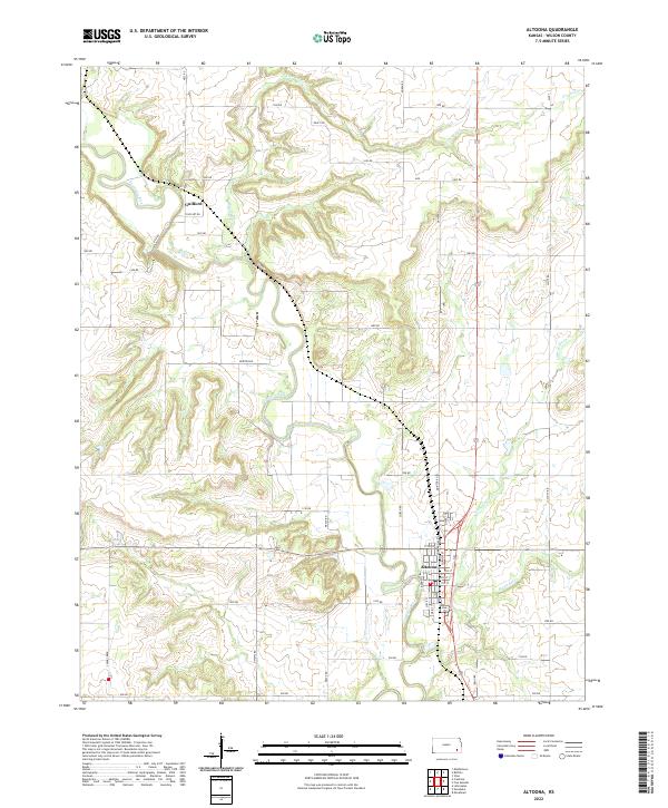
The Verdigris River valley defines the central landscape of this Wilson County region, where the town of Altoona serves as a local hub. Surveyed just before the Second World War, the map captures an agrarian society organized around dozens of small rural school districts, such as Ninety Nine Sch, Sorghum Valley Sch, and Peach Grove Sch. The transport network is anchored by the Missouri Pacific and Atchison Topeka and Santa Fe railroads, which connect established settlements like Buffalo, Benedict, and Roper.
Find a feature on this map
82 named features on this map. Tap any name to fly to it.
Don’t see what you’re looking for? This feature index may not catch every label — zoom into the map to look around manually.
Map Details
Date Portrayed1943
Date Published1943
PublisherU.S. Geological Survey
Map TypeTopographic
Scale1:62,500
Physical Dimensions16.32 x 19.71 inches
Editions of this 1943 Altoona Map
2 editions found
Historical Maps of Altoona Through Time
9 maps found
Featured Locations
Source Details
SourceU.S. Geological Survey
CopyrightPublic Domain