
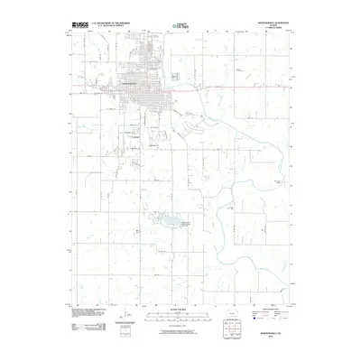
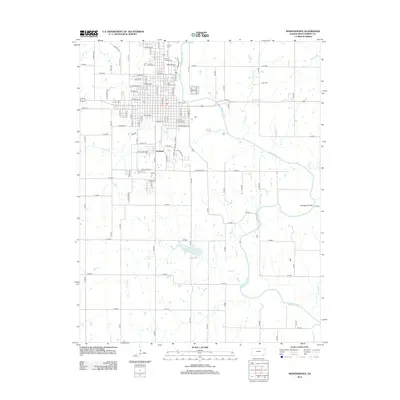
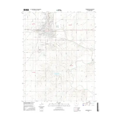
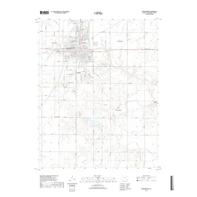
1905 Map of Independence
USGS Topo · Published 1905About this map
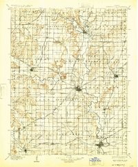
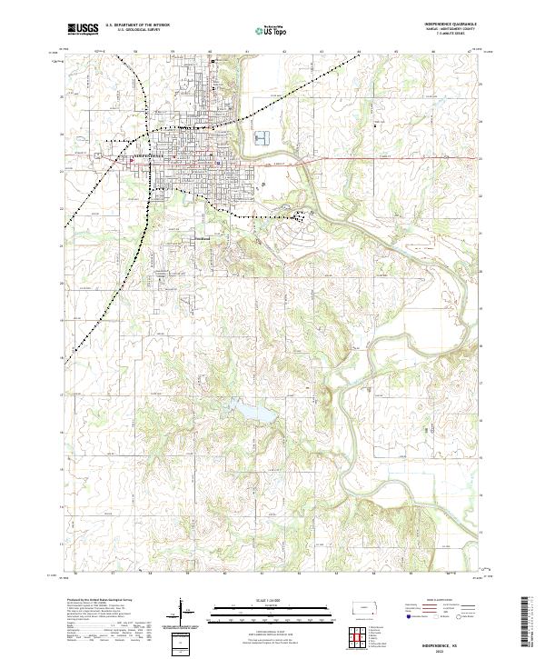
The Verdigris River snakes through this 1903 survey, defining the industrial and agricultural landscape of Southeast Kansas just after the turn of the century. As a major junction for the Atchison Topeka and Santa Fe RR, St Louis and San Francisco RR, and the Missouri Pacific RR, the region shows the rapid development of rail-hubs like Independence and Cherryvale. These rail corridors connected smaller farming outposts such as Lafontaine, Wayside, and Havana, while providing the infrastructure for growing industrial centers at Coffeyville and Neodesha.
Find a feature on this map
91 named features on this map. Tap any name to fly to it.
Don’t see what you’re looking for? This feature index may not catch every label — zoom into the map to look around manually.
Map Details
Editions of this 1905 Independence Map
4 editions found
Historical Maps of Parsons Through Time
9 maps found

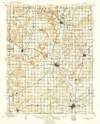
1886 Independence
Montgomery County, KS

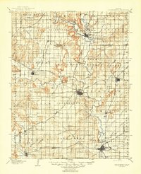
1894 Independence
Montgomery County, KS
1905 Independence
Montgomery County, KS
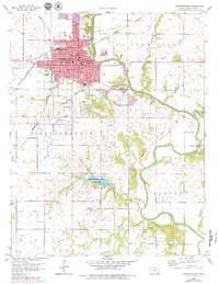
1959 Independence
Montgomery County, KS
2010 Independence
Montgomery County, KS
2012 Independence
Montgomery County, KS
2015 Independence
Montgomery County, KS
2018 Independence
Montgomery County, KS
2022 Independence
Montgomery County, KS