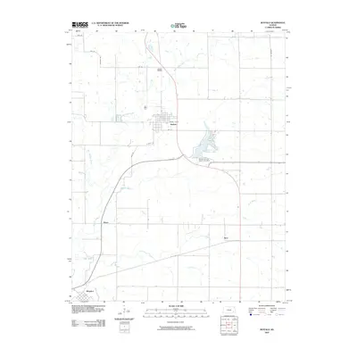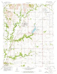
1959 Map of Buffalo
USGS Topo · Published 1976About this map
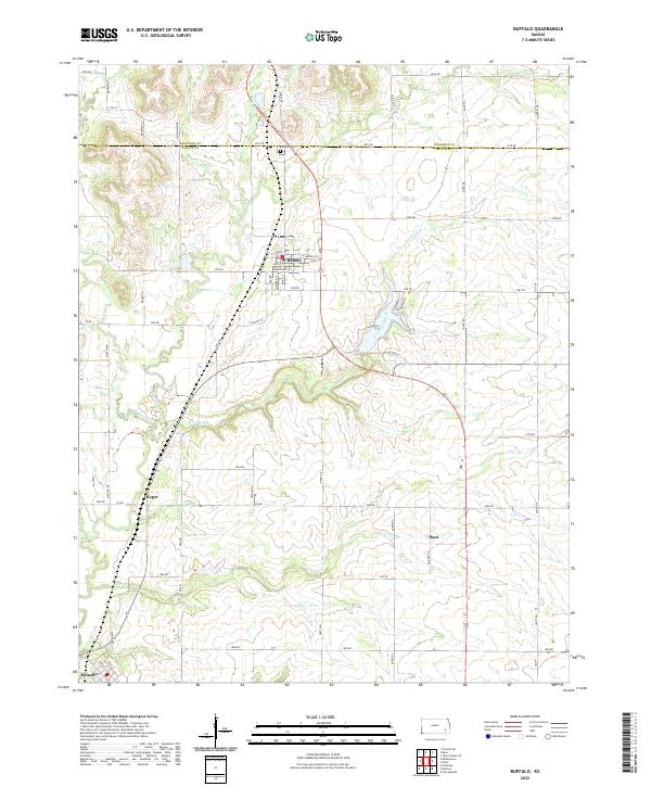
Buffalo serves as the primary hub in this late 1950s landscape, where the Missouri Pacific railroad cuts a diagonal path through the prairie. The map reveals a rural economy transitioning between agriculture and early industrial activity, evidenced by several quarries near Benedict and scattered oil wells. The confluence of West Buffalo Creek and East Buffalo Creek defines the local drainage, while Wilson County State Park provides a nascent recreational footprint. Genealogists will find critical landmarks such as Buffalo Cem, Midway Sch, and the High Prairie Ch in Pleasant Valley. Small rural junctions like Roper and Rest dot the rail lines, including the Atchison Topeka and Santa Fe, which runs through the southern sections of Guilford and Colfax townships.
Find a feature on this map
25 named features on this map. Tap any name to fly to it.
Don’t see what you’re looking for? This feature index may not catch every label — zoom into the map to look around manually.
Map Details
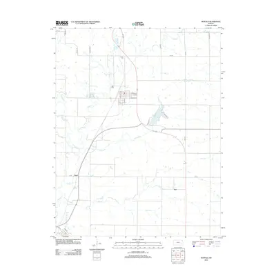
Editions of this 1959 Buffalo Map
2 editions found

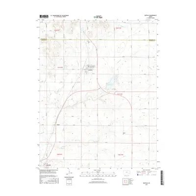
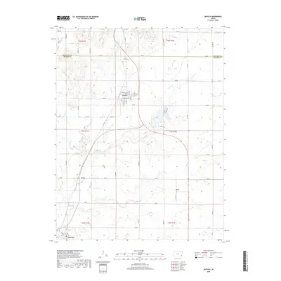
Historical Maps of Buffalo Through Time
6 maps found