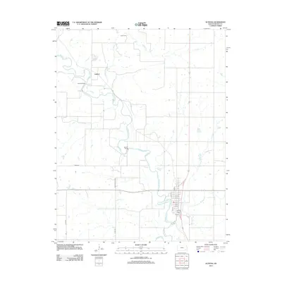
1939 Map of Altoona
USGS Topo · Published 1939About this map
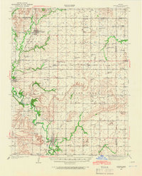
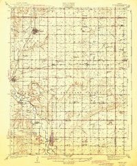
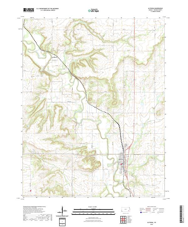
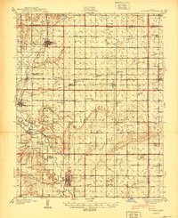
The Verdigris River and its numerous tributaries, including Buffalo Creek and Pumpkin Creek, define the landscape of Wilson County in the late 1930s. This survey reveals a high density of rural schoolhouses, such as Omega Sch, Swede Center Sch, and Golden Ridge Sch, indicating a well-populated agricultural community before the consolidation of many small school districts. The economy is structured around both water and rail, with the Missouri Pacific and Atchison Topeka and Santa Fe railroads connecting the hubs of Altoona, Buffalo, and Benedict. Significant terrain features like Dewey Mound and Three Mounds stand out against the river bottomlands, while local history is preserved in sites like the Vilas Bethel Cem and the Barnhill Bridge. The map also traces the paths of State Highway No 75 and State Highway No 39 as they cross this Kansas prairie.
Find a feature on this map
67 named features on this map. Tap any name to fly to it.
Don’t see what you’re looking for? This feature index may not catch every label — zoom into the map to look around manually.
Map Details
Editions of this 1939 Altoona Map
This is the sole edition of this map. No revisions or reprints were ever made.
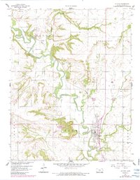
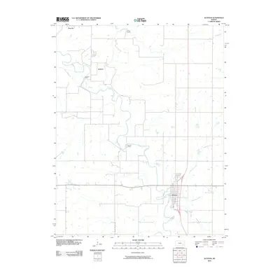
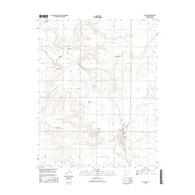
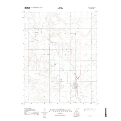
Historical Maps of Altoona Through Time
9 maps found