2010s Maps of Adair County, Kentucky
Explore 60 historic maps of Adair County from the 2010s. These maps offer a rare glimpse into what life looked like during the 2010s — showing old roads, neighborhoods, homes, and landmarks that have changed or disappeared over time.
Whether you're researching your family's past, planning a metal detecting trip, or studying how Adair County's landscape evolved across the 2010s, these high-resolution maps are a powerful tool for exploring the history of this region.
- Focus on a specific era: All maps on this page are from the 2010s, giving you a focused view of this time period.
- See what’s changed: Compare century-old streets, trails, and buildings to today's modern landscape using overlays and satellite layers.
- Research with precision: Use these maps for genealogy, historical research, land use analysis, or educational projects.
- View, download, or print: Maps are fully viewable online in high resolution, and can be downloaded or printed for your own records.
Start exploring Adair County's history through authentic maps from the 2010s. This is your window into the past.
Adair County, KY maps
(60)- 2010 Map of Mannsville, 2010 Print
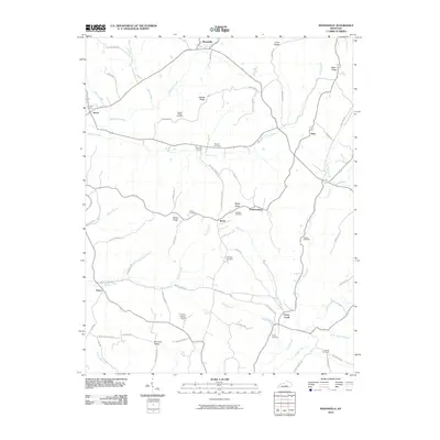 2010 Mannsville2010 Print · USGSThe rural uplands of Adair County are captured here at the start of the 2010s, showing a landscape of high ridges and winding creek valleys. Researchers can trace numerous family burial grounds and small settlements, from Speck to the Christie Chapel Cemetery.
 - 2010 Map of Campbellsville, 2010 Print
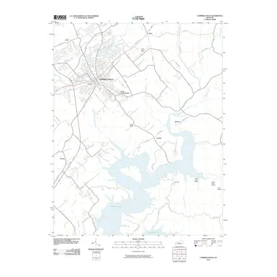 2010 Campbellsville2010 Print · USGSTaylor County enters the modern era as the city of Campbellsville expands toward the expansive Green River Lake. Researchers can locate local landmarks like Brookside Cemetery and the Taylor County Airport or trace the rural corners of Elk Horn and Hatcher.
 - 2010 Map of Gradyville, 2010 Print
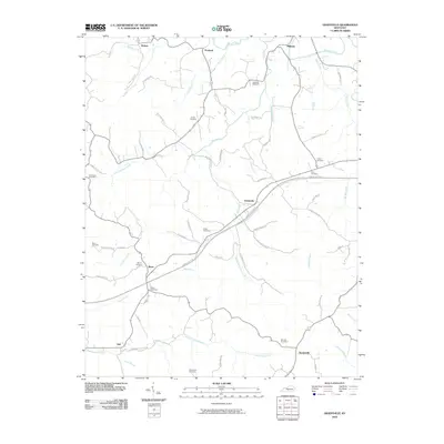 2010 Gradyville2010 Print · USGSAdair County at the turn of the 21st century remains a landscape of quiet creek-side hamlets and family farmsteads. Genealogists can trace local lineages through a high density of rural burial grounds, such as Dohoney Cemetery, Weed Cemetery, and Wheeler Cemetery.
 - 2010 Map of Russell Springs, 2010 Print
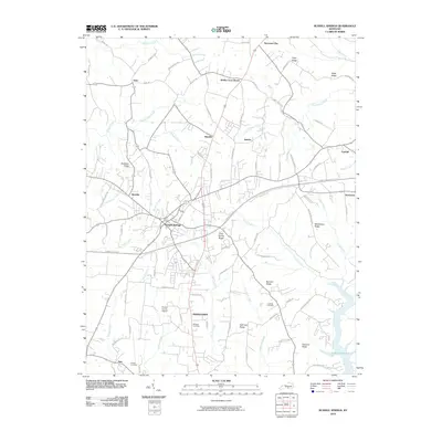 2010 Russell Springs2010 Print · USGSRussell Springs and the surrounding Kentucky ridges are captured here in the early twenty-first century as the region balanced growth and rural tradition. Researchers can trace family history through sites like Lucenda Cemetery or the old crossroads at Sano and Esto.
 - 2010 Map of Clementsville, 2010 Print
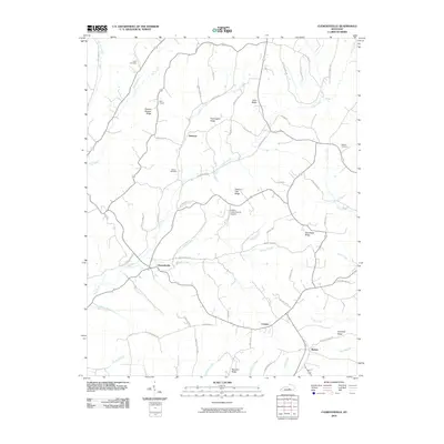 2010 Clementsville2010 Print · USGSCentral Kentucky's rural ridge-and-hollow country is documented here during the early twenty-first century. Genealogists and local historians can trace family land and landmarks like Gilpin Cemetery, Noel Chapel, and the uniquely named Chicken Gizzard Ridge.
 - 2010 Map of Knifley, 2010 Print
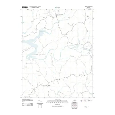 2010 Knifley2010 Print · USGSAdair County's rural landscape is captured here in the early twenty-first century as the waters of Green River Lake reach into timbered hollows. Researchers can locate established community centers like Knifley and Neatsville alongside historic sites such as Parker Chapel and Damron Cemetery.
 - 2010 Map of Cane Valley, 2010 Print
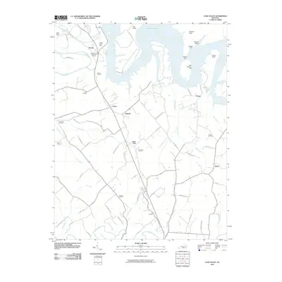 2010 Cane Valley2010 Print · USGSAdair County at the dawn of the millennium shows a landscape defined by the expansive Green River Lake and historic rural settlements. Genealogists can trace family heritage through numerous burial sites like the Green River Hill Confederate Cemetery and Bridgewater Cemetery.
 - 2010 Map of Columbia, 2010 Print
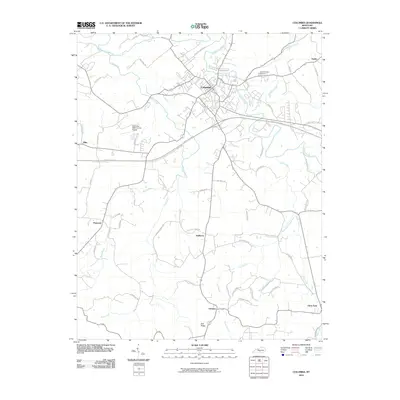 2010 Columbia2010 Print · USGSAdair County at the start of the 2010s shows a landscape of established crossroads and modern infrastructure centered on the city of Columbia. Researchers can trace local lineage through sites like New Columbia Cemetery and rural settlements such as Gadberry, Bliss, and Fairplay.
 - 2010 Map of East Fork, 2010 Print
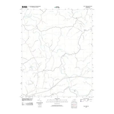 2010 East Fork2010 Print · USGSMetcalfe County's rural communities and river valleys are captured here at the start of the decade, showing a landscape shaped by the East Fork Little Barren River. Researchers can trace local lineage through family-named routes like Will Davis Rd and locate the historic crossroads of Mell and Cork.
 - 2010 Map of Creelsboro, 2010 Print
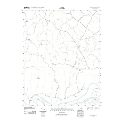 2010 Creelsboro2010 Print · USGSThe Cumberland River valley comes alive in this contemporary survey of Russell County. Researchers can trace ancestral locations around Creelsboro, Old Olga, and Manntown, or find family landmarks like Ragen Cemetery and Dixon Cemetery.
 - 2010 Map of Gresham, 2010 Print
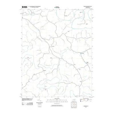 2010 Gresham2010 Print · USGSGreen County, Kentucky, is documented here in the early twenty-first century as a landscape of winding river bends and scattered rural settlements. Family historians can locate numerous burial grounds like Hancock Cemetery and Thompson Cemetery near communities such as Gresham and Roachville.
 - 2010 Map of Amandaville, 2010 Print
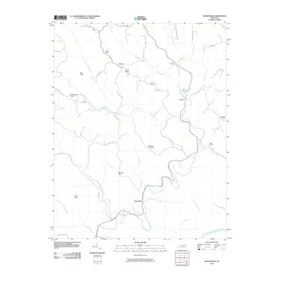 2010 Amandaville2010 Print · USGSCumberland County in the early twenty-first century remains a landscape of high ridges and winding creek valleys. Genealogists can trace family footprints across Chestnut Flat Ridge and locate historical burial grounds like Stotts Cemetery and Lewis Cemetery.
 - 2010 Map of Breeding, 2010 Print
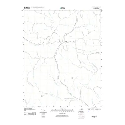 2010 Breeding2010 Print · USGSSouthern Metcalfe County is captured here in the early twenty-first century, showing a landscape of ridge-top roads and deep creek valleys. Genealogists can locate family landmarks like Jessee Cemetery and trace local routes near Breeding and Toria.
 - 2010 Map of Montpelier, 2010 Print
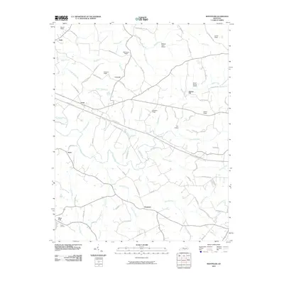 2010 Montpelier2010 Print · USGSAdair County at the start of the century reveals a landscape of dispersed rural settlements and family-named ridges. Researchers can trace local heritage through sites like Wesley Cemetery and follow the old routes connecting Gentrys Mill to Joppa.
 - 2010 Map of Dunnville, 2010 Print
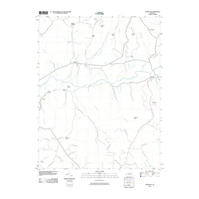 2010 Dunnville2010 Print · USGSAdair County's rural river valleys and family ridges are preserved here as they appeared in the early twenty-first century. Genealogists can trace family heritage through local landmarks like Thomastown Cemetery, William Cemetery, and the settlements of Pellyton and Dunnville.
 - 2013 Map of Breeding, 2013 Print
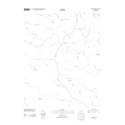 2013 Breeding2013 Print · USGSMetcalfe County's rural communities and family homesteads are preserved in this detailed early twenty-first-century survey. Genealogists and local historians can trace legacy landholdings and burial sites like Jessee Cem and the settlement of Breeding.
 - 2013 Map of Creelsboro, 2013 Print
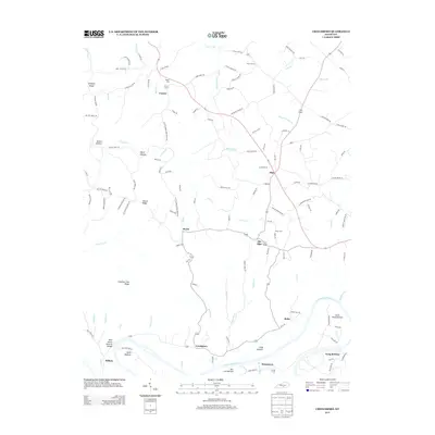 2013 Creelsboro2013 Print · USGSRussell County's riverfront communities are captured here in the early twenty-first century, showing the enduring agricultural landscape along the Cumberland. Researchers can locate the Rock House Natural Bridge and trace family roots at Ragen Cem or Old Olga.
 - 2013 Map of Amandaville, 2013 Print
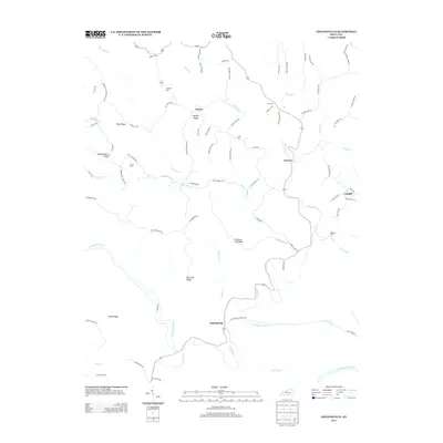 2013 Amandaville2013 Print · USGSCumberland County’s ridge-and-hollow country is documented here in the early twenty-first century, showing the rural character of the southern Kentucky hills. Researchers can locate family landmarks like McGinnis Cem or Harvey Ridge and trace the paths of Crocus Cr through Amandaville.
 - 2013 Map of Russell Springs, 2013 Print
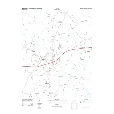 2013 Russell Springs2013 Print · USGSRussell County at the start of the 2010s shows a landscape of ridge-top settlements and winding creek valleys. Researchers can trace family history through sites like Lucenda Cem or locate the old crossroads at Webbs Cross Roads and Fonthill.
 - 2013 Map of Campbellsville, 2013 Print
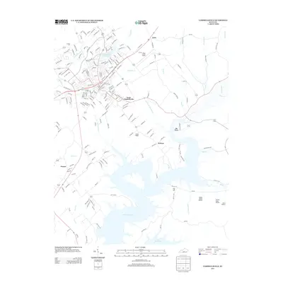 2013 Campbellsville2013 Print · USGSThe Taylor County seat and its surroundings are captured here in the early twenty-first century as the suburbs expand toward the Green River Lake shoreline. Researchers can trace local lineage at Brookside Cemetery or explore the outlying communities of Elk Horn and Arista.
 - 2013 Map of Dunnville, 2013 Print
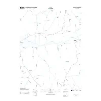 2013 Dunnville2013 Print · USGSSouth-central Kentucky’s river valleys and upland ridges are captured here during the early 2010s. Local researchers can trace family roots through numerous burial sites like Hatfield Cem and Williams Cem, or explore the rural layout of Pellyton and Neatsville.
 - 2013 Map of Knifley, 2013 Print
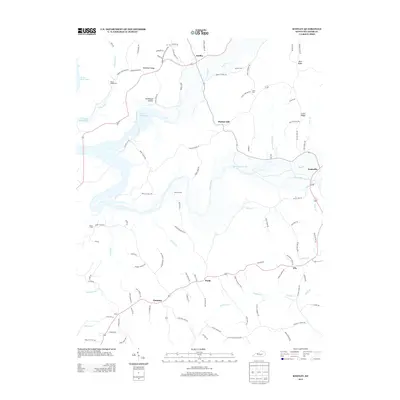 2013 Knifley2013 Print · USGSAdair County's rural heartland is documented here in the early twenty-first century, centered on the historic hub of Knifley. Genealogists and local historians can trace family roots through numerous sites like Parker Chapel Cem, Damron Cem, and the settlement at Purdy.
 - 2013 Map of Montpelier, 2013 Print
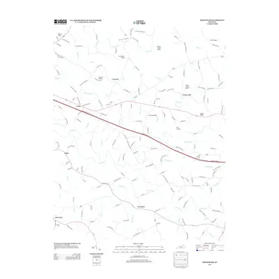 2013 Montpelier2013 Print · USGSSouthern Kentucky's agricultural landscape is seen here in the early twenty-first century, centered on the community of Montpelier. Genealogists and local historians can trace family roots through landmarks like Gentrys Mill, Wesley Cem, and the rural crossroads of Ozark.
 - 2013 Map of Cane Valley, 2013 Print
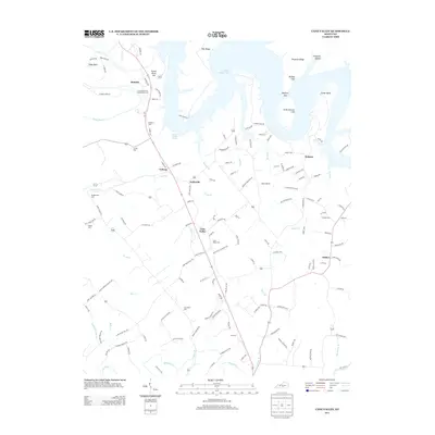 2013 Cane Valley2013 Print · USGSThe rural Kentucky landscape south of the Green River is captured here in the early twenty-first century. Researchers can trace family history through numerous burial sites like Green River Hill Confederate Cem, Cane Valley Cem, and Bridgewater Cem.
 - 2013 Map of Clementsville, 2013 Print
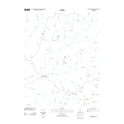 2013 Clementsville2013 Print · USGSKentucky's rural uplands are mapped here in the early twenty-first century, showcasing a landscape of ridge-top roads and creek-valley settlements. Genealogists can trace family roots through numerous sites like Noel Chapel, Belton Cem, and the uniquely named Chicken Gizzard Ridge.
Showing maps 1-25 of 60
Top cities of Adair County
Frequently asked questions
- What are the different types of historical maps available for Adair County?
- What is the oldest map of Adair County?
- Where can I purchase historical maps of Adair County for my home or office?
- Where can I download high-res historical maps of Adair County?
- Are there historical topographic maps available for Adair County?
- Is there historical aerial imagery available for Adair County?
- Where are historical maps of Adair County sourced from?