Old Maps of Port Oliver Ford, Kentucky for Hiking & Exploration
Hike through history with 11 historic maps of Port Oliver Ford. Explore old trails, ghost towns, and forgotten backroads — perfect for outdoor adventurers and local explorers.
- Rediscover forgotten places: Map out old mining camps, roads, and footpaths that no longer exist on modern maps.
- Layer with modern tools: Combine with LiDAR or satellite views to plan hikes through historical terrain.
- Made for exploration: Popular among hikers, overlanders, and local history lovers.
Use these maps to find adventure and explore the hidden past of Port Oliver Ford.
Port Oliver Ford, KY maps
(11)- 1926 Map of Scottsville
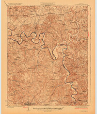 1926 Scottsville1926 Print · USGSThe Barren River valley in the mid-twenties was a landscape of ferries and fords connecting isolated rural schools and churches. Researchers can trace ancestral locations like Scottsville, find the Rocky Hill Game PO, or locate the Rough and Ready School.
 - 1954 Map of Meador, 1955 Print
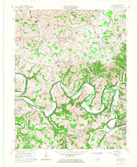
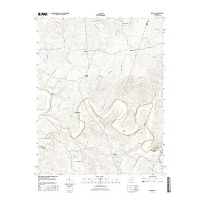
 1954 Meador1955 Print · USGSThe Barren River winds through this rural Kentucky landscape during the mid-1950s, marking the convergence of Warren, Allen, and Barren counties. Local historians can trace family roots through numerous country landmarks like Mt Union Ch, Berry Store, and river crossings at Martinsville Ford.
 - 1956 Map of Nashville, 1971 Print
 1956 Nashville1971 Print · USGSThe Tennessee-Kentucky borderlands come into focus in the mid-1960s as major reservoir projects transformed the Cumberland and Tennessee river valleys. Researchers can trace the rail networks of the Louisville and Nashville and visit sites like Fort Campbell and Fort Donelson National Military Park.2 unique versions available
 - 1959 Map of Nashville
 1959 Nashville1959 Print · USGSMiddle Tennessee and Southern Kentucky come into focus during the late fifties, showing the region's transition into a modern transportation and military hub. Researchers can trace the sprawling Fort Campbell Military Reservation or locate historic rail stops along the Tennessee Central Ry and Illinois Central RR.
 - 1965 Map of Meador, 1967 Print
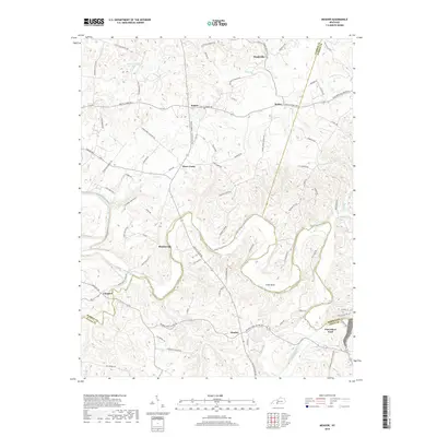
 1965 Meador1967 Print · USGSThe Barren River valley in the mid-1960s shows a landscape transformed by the creation of the Barren River Reservoir. Genealogists and local historians can trace family locations near Meador, Martinsville, and rural landmarks like Mt Zion Ch or the Martinsville Ford.
 - 1985 Map of Bowling Green
 1985 Bowling Green1985 Print · USGSThe rolling borderlands of Kentucky and Tennessee are captured here in the mid-eighties, showing a landscape shaped by the Barren River and deep-rooted rail networks. Genealogists and researchers can trace local landmarks like Prices Mill, Highland Academy, and Green Lawn Cem.3 unique versions available
 - 2010 Map of Meador, 2010 Print
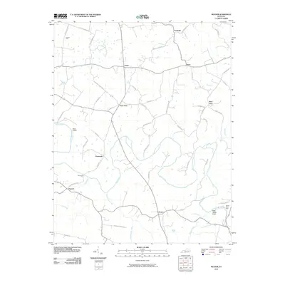 2010 Meador2010 Print · USGSCovers Port Oliver Ford, including Pondsville, Three Forks, and other nearby areas
 - 2013 Map of Meador, 2013 Print
 2013 Meador2013 Print · USGSCovers Port Oliver Ford, including Pondsville, Three Forks, and other nearby areas
 - 2016 Map of Meador, 2016 Print
 2016 Meador2016 Print · USGSCovers Port Oliver Ford, including Pondsville, Three Forks, and other nearby areas
 - 2019 Map of Meador, 2019 Print
 2019 Meador2019 Print · USGSCovers Port Oliver Ford, including Pondsville, Three Forks, and other nearby areas
 - 2022 Map of Meador, 2022 Print
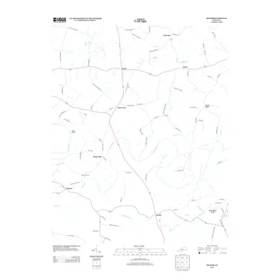
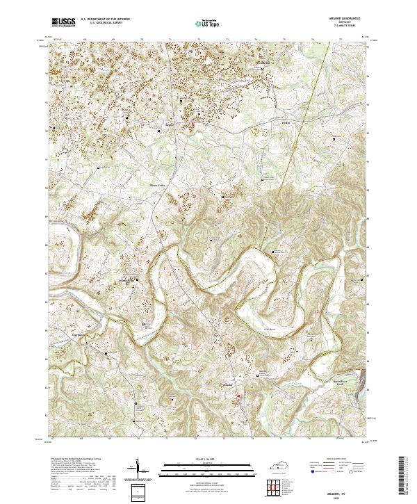 2022 Meador2022 Print · USGSCrossing the borders of Warren, Allen, and Barren counties, this area centers on the winding Barren River during the early 2020s. Researchers can locate numerous family burial sites like Goodnight Family Cem and Motley Cem, alongside rural centers such as Martinsville and Meador.
End of results
Showing maps 1-11 of 11
Top cities near Port Oliver Ford
- Bowling Green historical maps
- Glasgow historical maps
- Scottsville historical maps
- Smiths Grove historical maps
- Park City historical maps
- Oakland historical maps
See more
Frequently asked questions
- What are the different types of historical maps available for Port Oliver Ford?
- What is the oldest map of Port Oliver Ford?
- Where can I purchase historical maps of Port Oliver Ford for my home or office?
- Where can I download high-res historical maps of Port Oliver Ford?
- Are there historical topographic maps available for Port Oliver Ford?
- Is there historical aerial imagery available for Port Oliver Ford?
- Where are historical maps of Port Oliver Ford sourced from?