Old Maps of Sinai, Kentucky for Academic Research
Study the evolution of Sinai with 10 high-resolution historic maps. Whether you're teaching, researching, or modeling changes in land use, these maps provide essential visual documentation of urban, environmental, and geographic change.
- Analyze long-term change: Track patterns in development, transportation, and natural features.
- Ideal for environmental or urban studies: Support academic projects with primary historical map data.
- Use in the classroom or lab: Educators and researchers rely on these maps to bring historical context to life.
These maps are a powerful tool for teaching, research, and visualizing how Sinai has changed over the decades.
Sinai, KY maps
(10)- 1952 Map of Ashbrook, 1953 Print
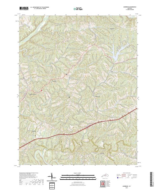
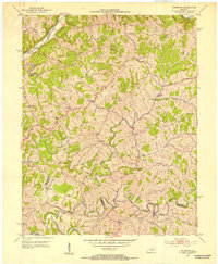 1952 Ashbrook1953 Print · USGSAnderson County's rural heart is captured here in the early fifties, showing a landscape of high ridges and winding creek bottoms. Genealogists can trace family footprints at Ashbrook, Henrys Chapel, or Western Sch among the hills of Baxter Ridge.
 - 1957 Map of Winchester, 1968 Print
 1957 Winchester1968 Print · USGSCentral Kentucky's landscape in the mid-twentieth century features the sprawling Fort Knox and the early parkway system. Genealogists and historians can trace rail lines like the Southern Railway and find landmarks from Bernheim Forest to Pilot Knob.3 unique versions available
 - 1960 Map of Winchester
 1960 Winchester1960 Print · USGSCentral Kentucky's diverse landscape is shown here at mid-century, from the bluegrass plains to the rugged Pottsville Escarpment. Genealogists and historians can trace the rail-and-river network connecting towns like Bardstown and Stanford alongside landmarks like Lake Cumberland.
 - 1972 Map of Ashbrook, 1973 Print
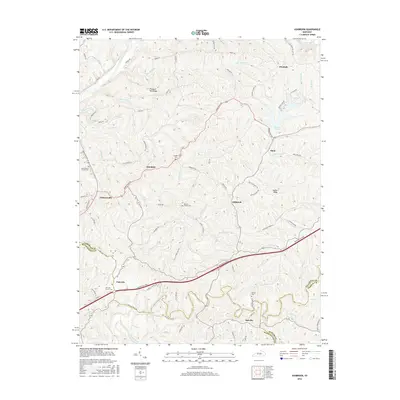
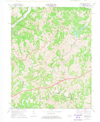 1972 Ashbrook1973 Print · USGSAnderson and Washington counties are captured here in the early 1970s as the Blue Grass Parkway reshaped the rural landscape. Researchers can trace historic local hubs like Ashbrook, Sinai, and Johnsonville alongside old schools like Western Sch.3 unique versions available
 - 1981 Map of Elizabethtown, 1983 Print
 1981 Elizabethtown1983 Print · USGSCentral Kentucky in the early eighties shows a landscape of military installations, state parks, and historic sites. Genealogists and historians can trace rail lines like the Louisville and Nashville or locate sites like Lebanon National Cemetery and the Lincoln Memorial National Historic Site.
 - 2010 Map of Ashbrook, 2010 Print
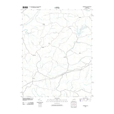 2010 Ashbrook2010 Print · USGSCovers Sinai, including Ashbrook, Johnsonville, and other nearby areas
 - 2013 Map of Ashbrook, 2013 Print
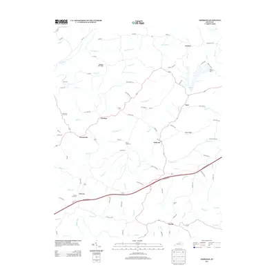 2013 Ashbrook2013 Print · USGSCovers Sinai, including Ashbrook, Johnsonville, and other nearby areas
 - 2016 Map of Ashbrook, 2016 Print
 2016 Ashbrook2016 Print · USGSCovers Sinai, including Ashbrook, Johnsonville, and other nearby areas
 - 2019 Map of Ashbrook, 2019 Print
 2019 Ashbrook2019 Print · USGSCovers Sinai, including Ashbrook, Johnsonville, and other nearby areas
 - 2022 Map of Ashbrook, 2022 Print
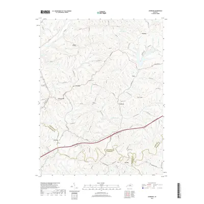
 2022 Ashbrook2022 Print · USGSThe rolling uplands of Anderson and Mercer counties are captured here in the early 2020s. Genealogists can trace family names and local landmarks at Penny’s Chapel Cemetery, Seaville, and New Liberty Church Cemetery.
End of results
Showing maps 1-10 of 10
Top cities near Sinai
- Frankfort historical maps
- Lawrenceburg historical maps
- Shelbyville historical maps
- Harrodsburg historical maps
- Willisburg historical maps
- Mackville historical maps
Frequently asked questions
- What are the different types of historical maps available for Sinai?
- What is the oldest map of Sinai?
- Where can I purchase historical maps of Sinai for my home or office?
- Where can I download high-res historical maps of Sinai?
- Are there historical topographic maps available for Sinai?
- Is there historical aerial imagery available for Sinai?
- Where are historical maps of Sinai sourced from?