Old Maps of Cooktown, Kentucky for Hiking & Exploration
Hike through history with 10 historic maps of Cooktown. Explore old trails, ghost towns, and forgotten backroads — perfect for outdoor adventurers and local explorers.
- Rediscover forgotten places: Map out old mining camps, roads, and footpaths that no longer exist on modern maps.
- Layer with modern tools: Combine with LiDAR or satellite views to plan hikes through historical terrain.
- Made for exploration: Popular among hikers, overlanders, and local history lovers.
Use these maps to find adventure and explore the hidden past of Cooktown.
Cooktown, KY maps
(10)- 1953 Map of Tracy, 1954 Print
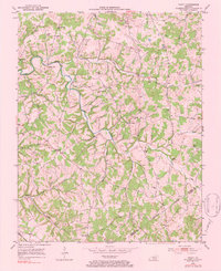
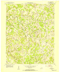 1953 Tracy1954 Print · USGSThe rural borderlands of Barren and Monroe counties come alive in the early 1950s, showing a landscape of family farms and creek-bottom communities. Researchers can locate local landmarks like Cooktown, Tracy, and numerous schools including Antioch Sch.2 unique versions available
 - 1956 Map of Corbin, 1966 Print
 1956 Corbin1966 Print · USGSThe Kentucky and Tennessee borderlands are captured here in the mid-fifties, showing the region's shift toward modern interstate travel and reservoir development. Genealogists and historians can trace old community lines near Albany and Monticello or locate early rail junctions along the Southern and Tennessee Central lines.3 unique versions available
 - 1958 Map of Corbin
 1958 Corbin1958 Print · USGSThe Upper Cumberland borderlands appear in the late 1950s as massive reservoirs and early atomic-era growth reshape the region. Trace family roots and vanished landmarks near Lake Cumberland, Oak Ridge, and the Cumberland National Forest.
 - 1979 Map of Tracy, 1984 Print
 1979 Tracy1984 Print · USGSBarren and Monroe Counties remained deeply rural in the mid-twentieth century, centered on small creek-side communities and family homesteads. Genealogists can trace historical family locations through sites like Kinslow Cem and Moore Sch near Tracy and Etoile.
 - 1985 Map of Tompkinsville, 1986 Print
 1985 Tompkinsville1986 Print · USGSThe Kentucky-Tennessee borderlands come into focus in the mid-1980s, showcasing a landscape of river-fed valleys and rural crossroads. Genealogists and local historians can trace family locations from Glasgow and Edmonton to the distinctively named Eighty Eight, Bugtussle, and Akersville.2 unique versions available
 - 2010 Map of Tracy, 2010 Print
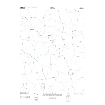
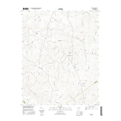
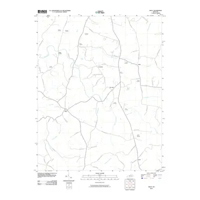 2010 Tracy2010 Print · USGSCovers Cooktown, including Dry Fork, Peter Creek, and other nearby areas
 - 2013 Map of Tracy, 2013 Print
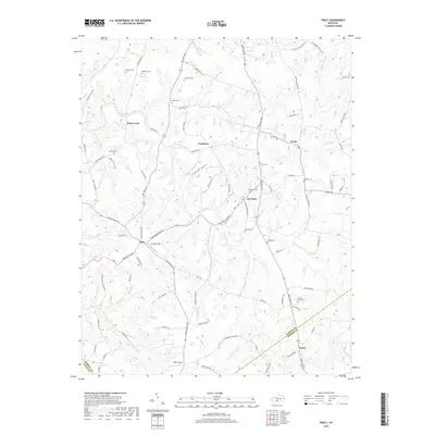
 2013 Tracy2013 Print · USGSCovers Cooktown, including Dry Fork, Peter Creek, and other nearby areas
 - 2016 Map of Tracy, 2016 Print
 2016 Tracy2016 Print · USGSCovers Cooktown, including Dry Fork, Peter Creek, and other nearby areas
 - 2019 Map of Tracy, 2019 Print
 2019 Tracy2019 Print · USGSCovers Cooktown, including Dry Fork, Peter Creek, and other nearby areas
 - 2022 Map of Tracy, 2022 Print
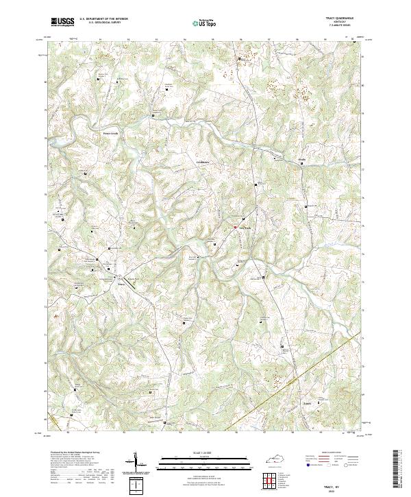 2022 Tracy2022 Print · USGSThe rural uplands of southern Barren County are revealed here in the 2020s, showing a landscape defined by family history and small hamlets. Genealogists can trace hundreds of burial sites, from Kinslow Cem Number 7 to the Johnson - Flowers Cem.
End of results
Showing maps 1-10 of 10
Top cities near Cooktown
- Glasgow historical maps
- Tompkinsville historical maps
- Gamaliel historical maps
- Fountain Run historical maps
Frequently asked questions
- What are the different types of historical maps available for Cooktown?
- What is the oldest map of Cooktown?
- Where can I purchase historical maps of Cooktown for my home or office?
- Where can I download high-res historical maps of Cooktown?
- Are there historical topographic maps available for Cooktown?
- Is there historical aerial imagery available for Cooktown?
- Where are historical maps of Cooktown sourced from?