2000s (21st Century) Maps of Owingsville, Kentucky
Explore 15 historic maps of Owingsville from the 2000s (21st Century). These maps offer a rare glimpse into what life looked like during the 2000s — showing old roads, neighborhoods, homes, and landmarks that have changed or disappeared over time.
Whether you're researching your family's past, planning a metal detecting trip, or studying how Owingsville's landscape evolved across the 2000s, these high-resolution maps are a powerful tool for exploring the history of this region.
- Focus on a specific era: All maps on this page are from the 2000s, giving you a focused view of this time period.
- See what’s changed: Compare century-old streets, trails, and buildings to today's modern landscape using overlays and satellite layers.
- Research with precision: Use these maps for genealogy, historical research, land use analysis, or educational projects.
- View, download, or print: Maps are fully viewable online in high resolution, and can be downloaded or printed for your own records.
Start exploring Owingsville's history through authentic maps from the 2000s. This is your window into the past.
Owingsville, KY maps
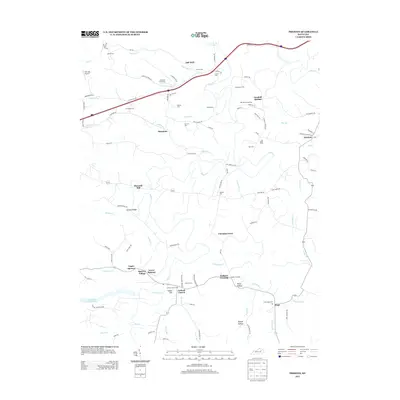
(15)- 2010 Map of Preston, 2010 Print
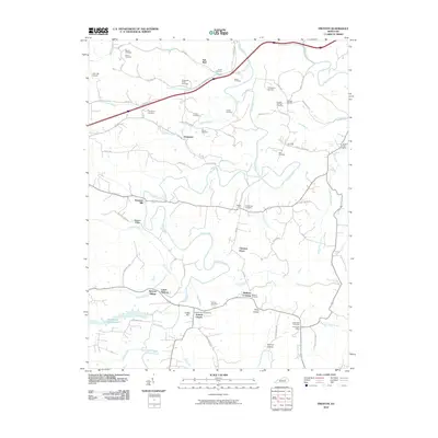 2010 Preston2010 Print · USGSCovers Owingsville, including Jeffersonville, Camargo, and other nearby areas
 - 2010 Map of Owingsville, 2010 Print
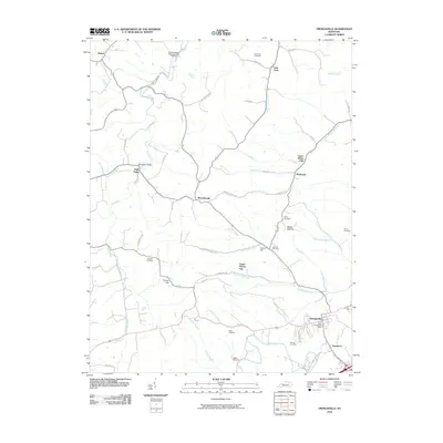 2010 Owingsville2010 Print · USGSCovers Owingsville, including Reynoldsville, Bethel, and other nearby areas
 - 2011 Map of Colfax, 2011 Print
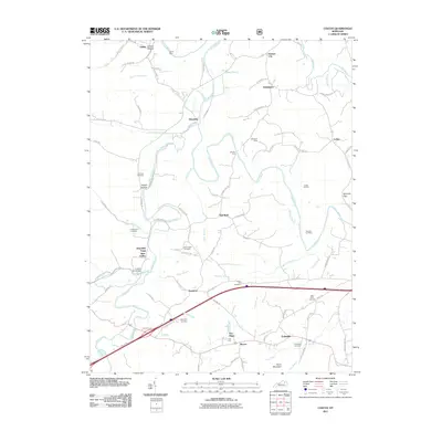 2011 Colfax2011 Print · USGSCovers Owingsville, including Colfax, Polksville, and other nearby areas
 - 2013 Map of Colfax, 2013 Print
 2013 Colfax2013 Print · USGSCovers Owingsville, including Colfax, Polksville, and other nearby areas
 - 2013 Map of Preston, 2013 Print
 2013 Preston2013 Print · USGSCovers Owingsville, including Jeffersonville, Camargo, and other nearby areas
 - 2013 Map of Owingsville, 2013 Print
 2013 Owingsville2013 Print · USGSCovers Owingsville, including Reynoldsville, Bethel, and other nearby areas
 - 2016 Map of Preston, 2016 Print
 2016 Preston2016 Print · USGSCovers Owingsville, including Jeffersonville, Camargo, and other nearby areas
 - 2016 Map of Colfax, 2016 Print
 2016 Colfax2016 Print · USGSCovers Owingsville, including Colfax, Polksville, and other nearby areas
 - 2016 Map of Owingsville, 2016 Print
 2016 Owingsville2016 Print · USGSCovers Owingsville, including Reynoldsville, Bethel, and other nearby areas
 - 2019 Map of Colfax, 2019 Print
 2019 Colfax2019 Print · USGSCovers Owingsville, including Colfax, Polksville, and other nearby areas
 - 2019 Map of Owingsville, 2019 Print
 2019 Owingsville2019 Print · USGSCovers Owingsville, including Reynoldsville, Bethel, and other nearby areas
 - 2019 Map of Preston, 2019 Print
 2019 Preston2019 Print · USGSCovers Owingsville, including Jeffersonville, Camargo, and other nearby areas
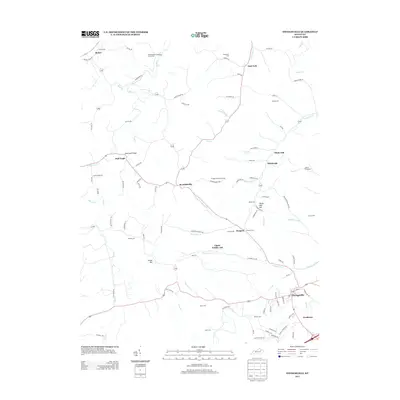
 - 2022 Map of Preston, 2022 Print
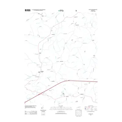
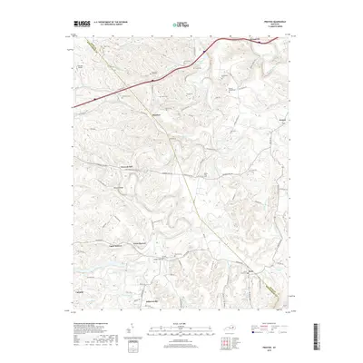
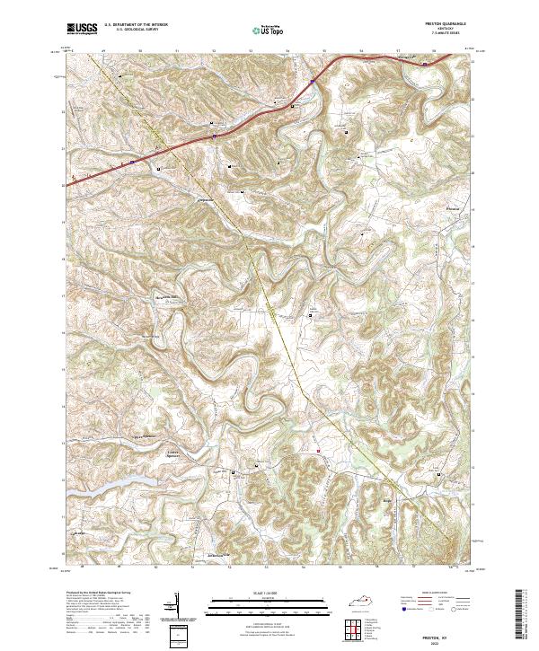 2022 Preston2022 Print · USGSThe rural borderlands of Bath and Montgomery counties are captured here in the early twenty-first century, showing a landscape of deep hollows and family cemeteries. Genealogists can trace sites like Kendall Springs Cem and Fortune Cem or locate the historic settlement at Howards Mill.
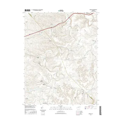
 - 2022 Map of Owingsville, 2022 Print
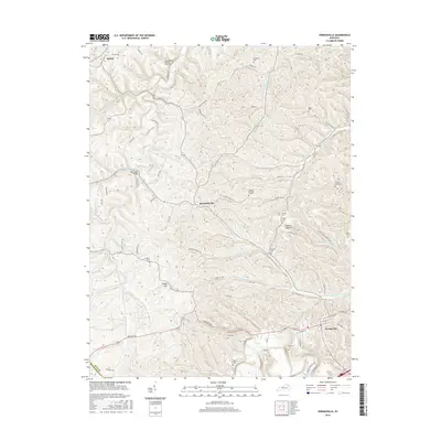
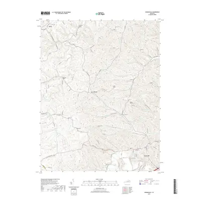
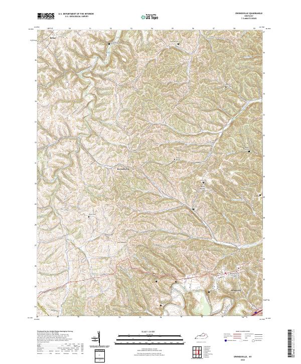 2022 Owingsville2022 Print · USGSOwingsville and the surrounding Kentucky hills appear in this modern survey, showing a landscape deeply rooted in family history and rural tradition. Researchers can locate numerous ancestral sites including the Latham Graveyard, Gregory Burying Ground, and the Old Republican Meeting House Cem.
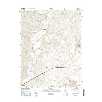
 - 2022 Map of Colfax, 2022 Print
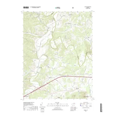
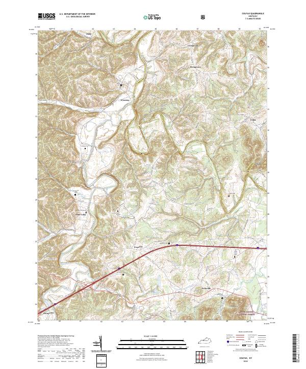 2022 Colfax2022 Print · USGSBath County’s rural character and long-standing family settlements are documented here in the early twenty-first century. Genealogists can trace ancestral ties through landmarks like Barbers Graveyard, Atchison Cem, and the community of Slate Valley.
End of results
Showing maps 1-15 of 15
Top cities near Owingsville
- Mount Sterling historical maps
- Jeffersonville historical maps
- Camargo historical maps
- Frenchburg historical maps
- Salt Lick historical maps
- Sharpsburg historical maps
Frequently asked questions
- What are the different types of historical maps available for Owingsville?
- What is the oldest map of Owingsville?
- Where can I purchase historical maps of Owingsville for my home or office?
- Where can I download high-res historical maps of Owingsville?
- Are there historical topographic maps available for Owingsville?
- Is there historical aerial imagery available for Owingsville?
- Where are historical maps of Owingsville sourced from?