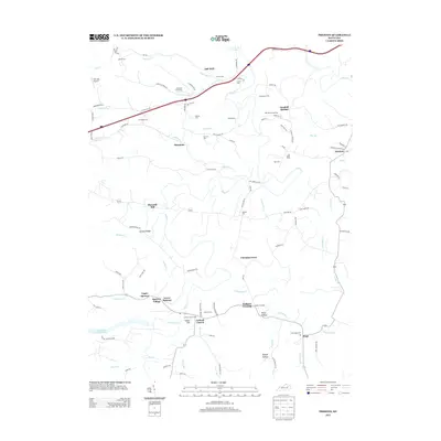
2013 Map of Preston
USGS Topo · Published 2013About this map
Slate Creek and its many tributaries, including Little Slate Creek and Stepstone Creek, define the topography of this corner of eastern Kentucky. The landscape is dotted with small agricultural settlements and family-named landmarks like Howards Mill and Harpers Ridge. In the southern portion, the communities of Upper Spencer, Spencer Village, and Lower Spencer sit near the waters of Greenbrier Creek Reservoir. Significant genealogical detail is preserved through numerous family burial sites, such as the Thompson Cem, Powers Cem, and Karick Cem. The map illustrates the rural infrastructure of the early 21st century, showing the intersection of local routes like Preston Road and the broader reach of the Interstate system. From Walkers Crossing to the hamlet of Preston, the map documents a region where watercourses and ridge roads dictate the patterns of daily life.
Find a feature on this map
106 named features on this map. Tap any name to fly to it.
Don’t see what you’re looking for? This feature index may not catch every label — zoom into the map to look around manually.
Map Details
Editions of this 2013 Preston Map
This is the sole edition of this map. No revisions or reprints were ever made.
Other maps of this area

1892 · Beattyville
USGS Topo · 1:125,000

1929 · Salt Lick
USGS Topo · 1:62,500

1934 · Salt Lick
USGS Topo · 1:62,500

1950 · Levee
USGS Topo · 1:24,000

1952 · Preston
USGS Topo · 1:24,000

1952 · Owingsville
USGS Topo · 1:24,000

1952 · Sharpsburg
USGS Topo · 1:24,000

1952 · Mount Sterling
USGS Topo · 1:24,000

1952 · Frenchburg
USGS Topo · 1:24,000

1952 · Means
USGS Topo · 1:24,000