Old Maps of Pineville, Kentucky for Academic Research
Study the evolution of Pineville with 28 high-resolution historic maps. Whether you're teaching, researching, or modeling changes in land use, these maps provide essential visual documentation of urban, environmental, and geographic change.
- Analyze long-term change: Track patterns in development, transportation, and natural features.
- Ideal for environmental or urban studies: Support academic projects with primary historical map data.
- Use in the classroom or lab: Educators and researchers rely on these maps to bring historical context to life.
These maps are a powerful tool for teaching, research, and visualizing how Pineville has changed over the decades.
Pineville, KY maps
(28)- 1886 Map of Cumberland Gap
 1886 Cumberland Gap1886 Print · USGSThe tri-state border region around the Cumberland Gap appears here in the 1880s, before modern development transformed these mountain passes. Genealogists and historians can trace early river crossings and settlements like Flat Lick, Tye Ferry, and Campbell Ford.
 - 1888 Map of Cumberland Gap
 1888 Cumberland Gap1888 Print · USGSThe tri-state wilderness of the Appalachians is captured in the late 1880s, centered on the strategic crossing at the Cumberland Gap. Trace the early river-and-road economy through features like Tye's Ferry, McHenry Ford, and the old town sites of Barboursville and Pineville.
 - 1891 Map of Cumberland Gap
 1891 Cumberland Gap1891 Print · USGSThe tri-state mountain corridor appears here in the late nineteenth century, showing the critical gateways through the Cumberland Mountains. Researchers can trace early river crossings like Mshenry Ford and historic settlements such as Barboursville and Pineville.7 unique versions available
 - 1903 Map of Pineville
 1903 Pineville1903 Print · USGSThe Cumberland Gap region in the early 1900s was a landscape defined by its formidable ridges and vital river passages. Trace the steep ascent of Cumberland Mountain and the winding course of the Cumberland River as they appeared over a century ago.
 - 1903 Map of Middlesboro
 1903 Middlesboro1903 Print · USGSMiddlesboro sits at the gateway to the mountains in this early century survey of the Kentucky, Tennessee, and Virginia borders. Researchers can trace early migration routes and mountain passes like the famous Cumberland Gap, Baptist Gap, and Yellow Slip Gap.
 - 1927 Map of Middlesboro, 1955 Print
 1927 Middlesboro1955 Print · USGSThe Cumberland Gap region comes alive in this survey from the late 1920s, showing the intersection of three states and the rugged rail networks that shaped it. Trace family roots and local industry at Gibson Station PO, Lincoln Memorial University, and Ellison Mill.
 - 1930 Map of Middlesboro
 1930 Middlesboro1930 Print · USGSThe tri-state border region comes alive in the late 1920s, centered on the strategic mountain pass at Cumberland Gap. Genealogists and historians can trace family locations near Middlesboro, early campus sites at Lincoln Memorial University, and rural landmarks like Ellison Mill.4 unique versions available
 - 1954 Map of Pineville, 1956 Print
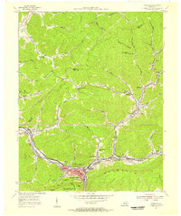 1954 Pineville1956 Print · USGSBell County in the mid-fifties shows a landscape shaped by coal and the Cumberland River. Genealogists and historians can trace rail-side settlements like Wallsend, Arjay, and Fourmile, alongside local landmarks like Chain Rock and the Lone Jack Sch.2 unique versions available
 - 1954 Map of Middlesboro North, 1956 Print
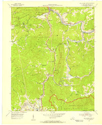 1954 Middlesboro North1956 Print · USGSThe northern reaches of Middlesboro are shown here in the 1950s, a landscape shaped by coal, timber, and the creation of major parks. Researchers can trace family history at the County Infirmary or locate early rural schools and churches like Fuson Chapel Sch and Yellow Hill Ch.
 - 1955 Map of Johnson City
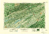 1955 Johnson City1955 Print · USGSEast Tennessee and the bordering highlands of Virginia and Kentucky appear here during the post-war industrial boom. You can trace the complex network of mountain ridges and new TVA lakes, from Johnson City to the coalfields near Middlesboro and Lynch.
 - 1957 Map of Johnson City, 1966 Print
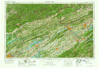 1957 Johnson City1966 Print · USGSUpper East Tennessee and Southwest Virginia are shown here during the mid-sixties transition of the Appalachians. Researchers can trace the industrial rail hubs of Kingsport, the sprawling waters of Cherokee Lake, and the historic Cumberland Gap.
 - 1959 Map of Middlesboro North, 1960 Print
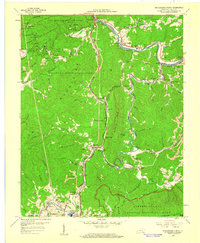 1959 Middlesboro North1960 Print · USGSMid-century Bell County comes alive in the shadows of the Cumberland ridges just as the local coal and rail industries shaped the landscape. Genealogists can trace family roots through Yellow Hill Cem and Binghamtown, while historians locate landmarks like Wasioto Ch and the old Strip Mines.2 unique versions available
 - 1960 Map of Johnson City
 1960 Johnson City1960 Print · USGSUpper East Tennessee and the surrounding tri-state area are shown in the mid-fifties during the height of the TVA reservoir era. Trace the industrial rail lines of the Southern and Louisville and Nashville between Kingsport and Johnson City.
 - 1963 Map of Johnson City
 1963 Johnson City1963 Print · USGSThe Tri-Cities and the surrounding Appalachian ridges are shown in detail during the early sixties, highlighting the era's vital rail and river networks. Genealogists and historians can trace the routes of the Clinchfield RR and locate settlements from Rogersville to Elizabethton.
 - 1974 Map of Middlesboro North, 1977 Print
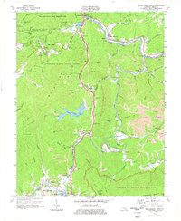 1974 Middlesboro North1977 Print · USGSThe northern environs of Middlesboro and Pineville are shown in the mid-1970s, a landscape defined by the Cumberland River and intensive coal mining. Researchers can trace family roots through numerous sites like Wilder Cem, Mt Mary Ch, and the settlement of Binghamtown.
 - 1974 Map of Pineville, 1977 Print
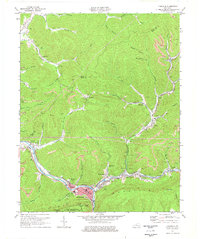 1974 Pineville1977 Print · USGSBell County during the mid-1970s shows a landscape of deep river valleys and active ridge-top mining. Trace family roots and mountain industry through Pineville, the community at Arjay, and local landmarks like Lone Jack Sch or Red Hill Cem.
 - 1976 Map of Middlesboro North, 1981 Print
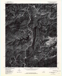 1976 Middlesboro North1981 Print · USGSBell County in the mid-seventies is revealed here through high-resolution aerial photography of the coal-producing Cumberland Mountains. Trace the industrial landscape from East Pineville down to the Middlesboro bypass, locating Cannon Creek Lake and Colmar.
 - 1977 Map of Middlesboro, 1983 Print
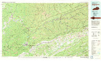 1977 Middlesboro1983 Print · USGSThe tri-state border region of Kentucky, Tennessee, and Virginia is shown here in the late seventies as the rail-and-river economy hummed through the gaps. Trace local family roots and transit routes through Middlesboro, Harlan, and Cumberland Gap National Historical Park.
 - 2010 Map of Pineville, 2010 Print
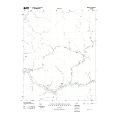 2010 Pineville2010 Print · USGSIn the heart of Bell County at the turn of the decade, this map shows the winding Cumberland River and the communities that follow its banks. Trace family history through Wallsend Cemetery and Henderson Cemetery or locate landmarks like the Bird Branch Lookout Tower.
 - 2010 Map of Middlesboro North, 2010 Print
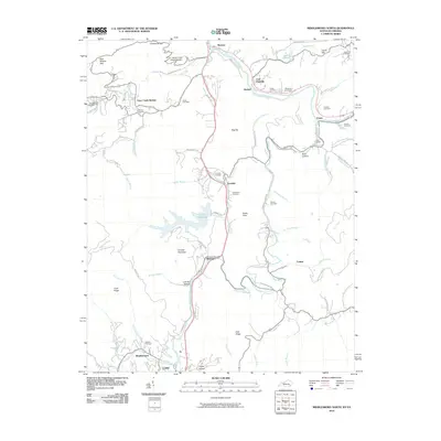 2010 Middlesboro North2010 Print · USGSBell County is shown here in the early twenty-first century, revealing a landscape where family history and river life intersect. Researchers can trace ancestral burial grounds at Wilder and Bingham Cemetery or locate old communities like Ponza and Colmar.
 - 2013 Map of Middlesboro North, 2013 Print
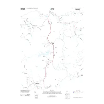 2013 Middlesboro North2013 Print · USGSThe Cumberland River valley south of Pineville appears in the early twenty-first century, showing a network of mountain communities and family cemeteries. Trace local history through sites like Wasioto, Clear Creek Springs, and Wilder Cem.
 - 2013 Map of Pineville, 2013 Print
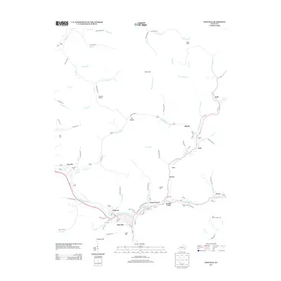 2013 Pineville2013 Print · USGSThe river valleys of Bell County come alive in this contemporary survey of Pineville and the winding Cumberland River. Researchers can trace local heritage through numerous landmarks like Wallsend Cem, the heights of Chain Rock, and the remote Bird Branch Lookout Tower.
 - 2016 Map of Pineville, 2016 Print
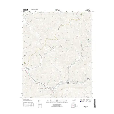 2016 Pineville2016 Print · USGSPineville and the Cumberland River valley are captured in the mid-2010s, showing the intersection of river transport and mountain topography. Researchers can trace family history at Wallsend Cem or locate the site of early settlements like Fourmile and Blanche.
 - 2016 Map of Middlesboro North, 2016 Print
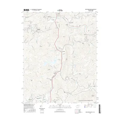 2016 Middlesboro North2016 Print · USGSBell County, Kentucky, is shown here during a period of modern mapping that preserves many traditional family landmarks. Local historians can locate numerous family burial sites like Knuckle Cem and Greene Cem, alongside landmarks such as Laurel Cove Amphitheater.
 - 2019 Map of Middlesboro North, 2019 Print
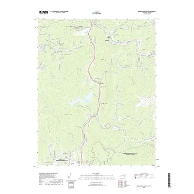 2019 Middlesboro North2019 Print · USGSBell County, Kentucky, and the Virginia border are captured here in the late twenty-teens as the landscape remains defined by its deep gaps and mountain ridges. Researchers can trace family sites like Bingham Cem and Slusher Cem or explore the trails of Cumberland Gap National Historical Park.
Showing maps 1-25 of 28
Top cities near Pineville
- Middlesboro historical maps
- Harrogate historical maps
- Barbourville historical maps
- Cumberland Gap historical maps
Top neighborhoods of Pineville
Frequently asked questions
- What are the different types of historical maps available for Pineville?
- What is the oldest map of Pineville?
- Where can I purchase historical maps of Pineville for my home or office?
- Where can I download high-res historical maps of Pineville?
- Are there historical topographic maps available for Pineville?
- Is there historical aerial imagery available for Pineville?
- Where are historical maps of Pineville sourced from?