Old Maps of Florence, Kentucky for Hiking & Exploration
Hike through history with 43 historic maps of Florence. Explore old trails, ghost towns, and forgotten backroads — perfect for outdoor adventurers and local explorers.
- Rediscover forgotten places: Map out old mining camps, roads, and footpaths that no longer exist on modern maps.
- Layer with modern tools: Combine with LiDAR or satellite views to plan hikes through historical terrain.
- Made for exploration: Popular among hikers, overlanders, and local history lovers.
Use these maps to find adventure and explore the hidden past of Florence.
Florence, KY maps
(43)- 1914 Map of West Cincinnati
 1914 West Cincinnati1914 Print · USGSCincinnati and the Ohio River valley appear here in a period of intense industrial growth and suburban expansion just before the First World War. Researchers can trace the dense rail networks of the Chesapeake and Ohio or locate early institutions like the Ohio Military Institute and Spring Grove Cemetery.4 unique versions available
 - 1950 Map of Union, 1952 Print
 1950 Union1952 Print · USGSBoone County's rolling landscape is captured here in the early fifties, showing a rural world of crossroads hamlets and family-named landmarks. You can trace the community life of the era through Sugartit, the New Haven Sch, and old burial grounds like Rice Cem.
 - 1950 Map of Independence, 1952 Print
 1950 Independence1952 Print · USGSNorthern Kentucky in the early postwar years reveals a landscape of ridge-top farms and creek-bottom rail lines. Researchers can trace family sites near Independence or locate rural landmarks like New Banklick Ch and Independence Sta.
 - 1950 Map of Covington, 1953 Print
 1950 Covington1953 Print · USGSNorthern Kentucky's riverfront and southern suburbs are captured here at the mid-century mark as neighborhoods expanded along the Dixie Highway. Genealogists and historians can trace family plots in Highland Cem or locate community landmarks like the Villa Madonna and Dixie Heights High Sch.
 - 1951 Map of Burlington, 1953 Print
 1951 Burlington1953 Print · USGSBoone County and the Ohio River shoreline appear here in the early fifties, showing the region as it transitioned into a major aviation hub. Genealogists can locate family burial sites like I O O F Cem and Watts Cem, or trace early roads near Hebron and Florence.
 - 1953 Map of Cincinnati, 1965 Print
 1953 Cincinnati1965 Print · USGSThe Ohio River valley and the industrial heartland of Indiana and Ohio are captured here during the mid-century peak of rail and river commerce. Genealogists and historians can trace connections between Cincinnati and outlying military sites like Camp Atterbury and Bakalar AFB.3 unique versions available
 - 1955 Map of Burlington, 1956 Print
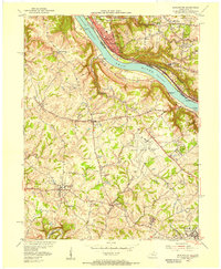 1955 Burlington1956 Print · USGSThe Ohio River valley in the mid-fifties reveals a bustling industrial riverfront alongside quiet Kentucky hillsides. Genealogists and historians can trace family cemeteries like Chambers Cem, locate the Anderson Ferry, and see the early Greater Cincinnati Airport.
 - 1955 Map of Independence, 1956 Print
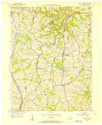 1955 Independence1956 Print · USGSKenton County communities like Independence and Florence are shown in the mid-fifties as they balanced rural tradition with post-war growth. Researchers can trace family history through several local landmarks, including Independence Cem, Eggleston Ch, and the Simon Kenton High Sch.
 - 1955 Map of Union, 1956 Print
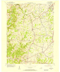 1955 Union1956 Print · USGSMid-century Boone County is captured here just before the suburban surge, centered on the historic crossroads of Union and Florence. Researchers can pinpoint family-named landmarks and rural centers like Sugartit, Beaverlick, and the New Haven Sch.
 - 1955 Map of Covington, 1957 Print
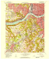 1955 Covington1957 Print · USGSGreater Cincinnati and Northern Kentucky come alive in this mid-fifties survey of the bustling riverfront and its growing suburbs. Researchers can trace historical church parishes and schools like St Marys Hosp, St Johns Cem, and Villa Madonna Academy across the river valley.
 - 1956 Map of Louisville, 1971 Print
 1956 Louisville1971 Print · USGSThe Ohio River valley and the Kentucky Bluegrass are captured here during a period of rapid mid-century growth and industrial activity. Genealogists and historians can trace rail-centered towns and military land use at Fort Knox and the Jefferson Proving Ground.2 unique versions available
 - 1957 Map of Cincinnati
 1957 Cincinnati1957 Print · USGSThe Ohio River valley and its surrounding highlands thrived during the mid-fifties industrial peak, centered on the bustling Cincinnati and Dayton metropolitan hubs. Researchers can trace the extensive rail networks and military sites like Wright-Patterson AFB and Camp Atterbury.
 - 1961 Map of Union, 1962 Print
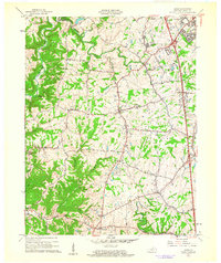 1961 Union1962 Print · USGSBoone County at the start of the sixties showcases a blend of growing suburban hubs and traditional rural crossroads. Researchers can trace family roots through historic sites like Big Bone Ch, the oddly-named Sugartit, and the small community of Beaverlick.2 unique versions available
 - 1961 Map of Independence, 1962 Print
 1961 Independence1962 Print · USGSKenton and Boone counties are shown here in the early sixties, as suburban expansion began to reach southward into traditional Kentucky farmland. Trace family roots and local history at Kenton High Sch, Independence Cem, or the Drive-in Theater near Florence.2 unique versions available
 - 1961 Map of Burlington, 1963 Print
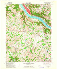 1961 Burlington1963 Print · USGSNorthern Kentucky and the Cincinnati riverfront meet in the early sixties during a period of rapid suburban and industrial growth. Genealogists and local historians can trace family burial sites like the Col Abraham Depew Grave and river crossings like the Anderson Ferry.3 unique versions available
 - 1961 Map of Covington, 1963 Print
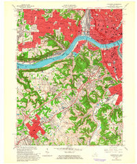 1961 Covington1963 Print · USGSThe Ohio River corridor comes alive in the early sixties as industrial centers and hillside neighborhoods bridge the state line. Genealogists and historians can trace St Josephs Cemetery, find the St Johns Orphanage, or locate the Anderson Ferry crossing.3 unique versions available
 - 1964 Map of Louisville
 1964 Louisville1964 Print · USGSThe Ohio River valley and Kentucky Bluegrass are captured in the mid-1960s, showing a region balanced between industrial growth and its agrarian roots. Genealogists and historians can trace the development of county seats like Shelbyville and Paris, or locate established institutions such as Georgetown College and Bernheim Forest.
 - 1981 Map of Covington
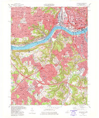 1981 Covington1981 Print · USGSNorthern Kentucky and Cincinnati meet along the river in the early eighties as suburban communities expand into the hills. Trace the development of Villa Hills and Fort Wright, or locate family sites at Highland Cemetery and Linden Grove Cem.2 unique versions available
 - 1981 Map of Independence, 1982 Print
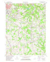 1981 Independence1982 Print · USGSNorthern Kentucky's suburban and rural transition is captured here in the early eighties as the area around INDEPENDENCE grew. Researchers can trace family roots through the Independence Cem or locate community hubs like the County Fairground and St Cecilias Ch.2 unique versions available
 - 1982 Map of Union
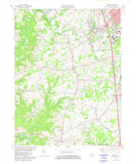 1982 Union1982 Print · USGSNorthern Kentucky at the start of the eighties shows a mix of growing suburbs and deep-rooted rural hamlets. Family researchers can locate the New Haven Sch, Howlett Cem, and the unique settlement of Sugartit along the Southern rail line.2 unique versions available
 - 1983 Map of Burlington
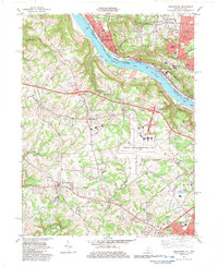 1983 Burlington1983 Print · USGSBoone County and the Cincinnati riverfront are captured here in the early eighties as aviation and suburban growth transformed the landscape. Researchers can find old family sites like the Col Abraham Depew Grave, the Anderson Ferry, and the Latonia Racetrack.4 unique versions available
 - 1986 Map of Cincinnati
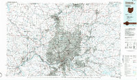 1986 Cincinnati1986 Print · USGSGreater Cincinnati and its tri-state surrounds are captured here in the mid-eighties as suburban growth reached into the neighboring hills and river valleys. Researchers can trace the development of transit hubs like Greater Cincinnati International Airport and historic sites such as Spring Grove Cemetery.3 unique versions available
 - 1986 Map of Falmouth
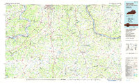 1986 Falmouth1986 Print · USGSNorthern Kentucky and the Ohio River valley are shown here in the mid-1980s, highlighting the region's complex river-and-rail geography. Genealogists and researchers can trace the roads connecting Big Bone Lick, Zion Church, and river towns like Falmouth and Augusta.2 unique versions available
 - 2010 Map of Union, 2010 Print
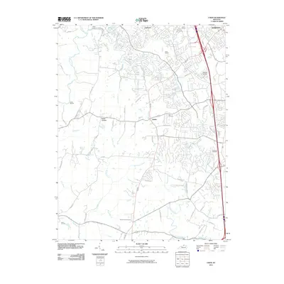 2010 Union2010 Print · USGSBoone County undergoes a period of rapid suburban transition in this 2010 survey of the northern Kentucky hills. Genealogists and historians can trace long-standing family landmarks like Baker Cemetery and Hueys Corners alongside newer developments and the Kentucky Raceway.
 - 2010 Map of Independence, 2010 Print
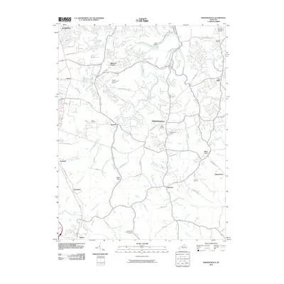 2010 Independence2010 Print · USGSKenton County is captured here at a moment of significant suburban expansion south of the Ohio River during the early twenty-first century. Genealogists and local historians can trace family locations through numerous sites including Saint Cecilias Cemetery, Ricedale, and White Tower.
Showing maps 1-25 of 43
Top cities near Florence
- Cincinnati historical maps
- Covington historical maps
- Independence historical maps
- Norwood historical maps
- Erlanger historical maps
- Burlington historical maps
See more
Frequently asked questions
- What are the different types of historical maps available for Florence?
- What is the oldest map of Florence?
- Where can I purchase historical maps of Florence for my home or office?
- Where can I download high-res historical maps of Florence?
- Are there historical topographic maps available for Florence?
- Is there historical aerial imagery available for Florence?
- Where are historical maps of Florence sourced from?