Old Maps of Crowtown, Princeton for Metal Detecting
Plan your next treasure hunt with 13 historic maps of Crowtown. Find old homesites, ghost towns, trails, and gathering spots that may be lost to time — perfect for identifying promising metal detecting locations.
- Locate forgotten sites: Uncover places like long-lost settlements, abandoned rail lines, or gathering spots.
- Plan better hunts: Use map overlays combined with LiDAR or satellite views to narrow in on historically rich areas.
- Made for detectorists: Thousands of hobbyists use these maps to discover relics, coins, and hidden history.
Use these historic maps to boost your research and find new opportunities beneath the surface of Crowtown.
Crowtown, Princeton maps
(13)- 1908 Map of Princeton, 1957 Print
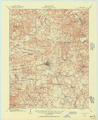 1908 Princeton1957 Print · USGSWestern Kentucky at the dawn of the twentieth century shows a landscape tied together by rail lines and rural schools. Genealogists can trace family footprints across dozens of local landmarks like Heathen Hill School, Otter Pond, and Briarfield Church.
 - 1910 Map of Princeton
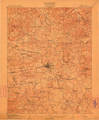 1910 Princeton1910 Print · USGSCaldwell County was a bustling rail hub at the turn of the century, centered on the strategic junction at Princeton. Genealogists can trace rural family roots through a dense network of country schools and churches like Heathen Hill School and Caldwell Chapel.5 unique versions available
 - 1954 Map of Evansville
 1954 Evansville1954 Print · USGSThe Ohio River borderlands between Indiana and Kentucky appear here during a period of robust industrial and military growth. Genealogists and researchers can trace the rail corridors of the Illinois Central and find landmarks like US Lock and Dam No 48 or Camp Breckinridge.
 - 1954 Map of Crider, 1955 Print
 1954 Crider1955 Print · USGSCaldwell County in the mid-fifties is a landscape of hilltop farms and active mineral extraction. Genealogists can trace family lines through dozens of rural sites like Asher Cem, Bethany Ch, and the active Williamson Mines near Crider.
 - 1957 Map of Evansville, 1969 Print
 1957 Evansville1969 Print · USGSIndiana and Kentucky meet along the Ohio River in this mid-century survey of a vital industrial and transport corridor. Genealogists and historians can trace the development of river towns like Owensboro and Newburgh or locate old rail lines like the Southern Ry.3 unique versions available
 - 1961 Map of Evansville
 1961 Evansville1961 Print · USGSThe Ohio River valley and its surrounding coalfields are captured here during the late fifties and early sixties. Trace the industrial rail networks of the Illinois Central RR and explore regional landmarks like Mammoth Cave National Park and Angel Mounds State Memorial.2 unique versions available
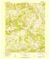
 - 1967 Map of Crider, 1969 Print
 1967 Crider1969 Print · USGSWestern Kentucky's ridge country is captured in the late sixties as the Western Kentucky Pkwy arrives near Crider. Genealogists can trace family names at Bethlehem Cem, Adamson Cem, and White Sulphur Ch.
 - 1983 Map of Madisonville, 1984 Print
 1983 Madisonville1984 Print · USGSThe Western Kentucky coalfields and river valleys come into focus in the early eighties as the rail-and-river economy matured. Genealogists can trace family footprints across Dawson Springs, Mortons Gap, and Slaughters, or locate landmarks like Shake Rag Hills and Lake Malone.
 - 2010 Map of Crider, 2010 Print
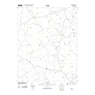 2010 Crider2010 Print · USGSCovers Crowtown, including Princeton, Crider, and other nearby areas
 - 2013 Map of Crider, 2013 Print
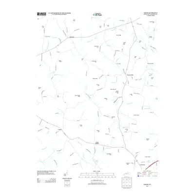 2013 Crider2013 Print · USGSCovers Crowtown, including Princeton, Crider, and other nearby areas
 - 2016 Map of Crider, 2016 Print
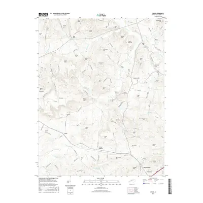 2016 Crider2016 Print · USGSCovers Crowtown, including Princeton, Crider, and other nearby areas
 - 2019 Map of Crider, 2019 Print
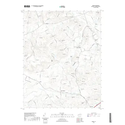 2019 Crider2019 Print · USGSCovers Crowtown, including Princeton, Crider, and other nearby areas
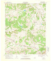
 - 2022 Map of Crider, 2022 Print
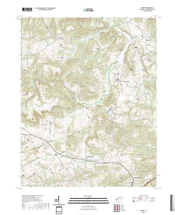 2022 Crider2022 Print · USGSCaldwell County's rural landscape is captured here in the early twenty-first century, showing a region deeply rooted in family land and faith. Researchers can trace dozens of burial sites like Donaldson Baptist Church Cem and the Winn Cem near the P & L RR.
End of results
Showing maps 1-13 of 13
Top cities near Crowtown
- Princeton historical maps
- Marion historical maps
- Dawson Springs historical maps
- Eddyville historical maps
- Kuttawa historical maps
- Fredonia historical maps
Frequently asked questions
- What are the different types of historical maps available for Crowtown?
- What is the oldest map of Crowtown?
- Where can I purchase historical maps of Crowtown for my home or office?
- Where can I download high-res historical maps of Crowtown?
- Are there historical topographic maps available for Crowtown?
- Is there historical aerial imagery available for Crowtown?
- Where are historical maps of Crowtown sourced from?