Old Maps of Cold Spring, Kentucky for Metal Detecting
Plan your next treasure hunt with 27 historic maps of Cold Spring. Find old homesites, ghost towns, trails, and gathering spots that may be lost to time — perfect for identifying promising metal detecting locations.
- Locate forgotten sites: Uncover places like long-lost settlements, abandoned rail lines, or gathering spots.
- Plan better hunts: Use map overlays combined with LiDAR or satellite views to narrow in on historically rich areas.
- Made for detectorists: Thousands of hobbyists use these maps to discover relics, coins, and hidden history.
Use these historic maps to boost your research and find new opportunities beneath the surface of Cold Spring.
Cold Spring, KY maps
(27)- 1898 Map of East Cincinnati, 1964 Print
 1898 East Cincinnati1964 Print · USGSGreater Cincinnati and Northern Kentucky emerge as a bustling riverfront and rail hub at the turn of the century. Genealogists and historians can trace the early footprints of Coney Island Resort, the Longview Asylum, and the Cincinnati Waterworks.
 - 1914 Map of East Cincinnati
 1914 East Cincinnati1914 Print · USGSThe eastern Cincinnati suburbs and Northern Kentucky riverfront come alive in this pre-war survey of industrial and residential growth. Genealogists can trace family footprints near the St Aloysius Orphan Asylum, Alpine Bell School, or the Covington Reservoirs.4 unique versions available
 - 1929 Map of Alexandria
 1929 Alexandria1929 Print · USGSNorthern Kentucky and the Ohio River border appear here in the late twenties as a bustling landscape of ridge-top farms and river-valley rail towns. Genealogists can trace family roots through numerous local landmarks like Oak Island Ch, Grants Lick, and the many rural schools such as Carthage Sch.
 - 1936 Map of Alexandria
 1936 Alexandria1936 Print · USGSNorthern Kentucky and the Ohio River valley appear here in the mid-1930s, showing a landscape defined by sharp river bends and rural rail stops. Researchers can trace historic schools and parish centers like Sts Peter and Paul Sch, the winding Licking Valley Highway, and the riverside operations at Gubser Mill.2 unique versions available
 - 1952 Map of Newport, 1953 Print
 1952 Newport1953 Print · USGSNorthern Kentucky during the early fifties shows a bustling riverfront and established hillside neighborhoods at the junction of two major rivers. Genealogists and historians can locate family landmarks like Evergreen Cemetery, Kenton Co Infirmary, and numerous schools including Bellevue High Sch.
 - 1953 Map of Alexandria, 1955 Print
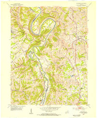 1953 Alexandria1955 Print · USGSNorthern Kentucky in the early fifties shows a landscape of winding river valleys and hilltop communities. Researchers can trace the Louisville and Nashville rail line and locate landmarks like the Tenmile House, White Villa, and Claryville.
 - 1953 Map of Cincinnati, 1965 Print
 1953 Cincinnati1965 Print · USGSThe Ohio River valley and the industrial heartland of Indiana and Ohio are captured here during the mid-century peak of rail and river commerce. Genealogists and historians can trace connections between Cincinnati and outlying military sites like Camp Atterbury and Bakalar AFB.3 unique versions available
 - 1955 Map of Newport, 1957 Print
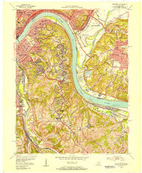 1955 Newport1957 Print · USGSThe riverfront communities of Northern Kentucky and Southern Ohio are captured here in the mid-fifties as urban density expands into the surrounding hills. Genealogists and historians can trace institutional landmarks like Evergreen Cemetery, Lunken Airport, and the St Anne Convent.
 - 1956 Map of Louisville, 1971 Print
 1956 Louisville1971 Print · USGSThe Ohio River valley and the Kentucky Bluegrass are captured here during a period of rapid mid-century growth and industrial activity. Genealogists and historians can trace rail-centered towns and military land use at Fort Knox and the Jefferson Proving Ground.2 unique versions available
 - 1957 Map of Cincinnati
 1957 Cincinnati1957 Print · USGSThe Ohio River valley and its surrounding highlands thrived during the mid-fifties industrial peak, centered on the bustling Cincinnati and Dayton metropolitan hubs. Researchers can trace the extensive rail networks and military sites like Wright-Patterson AFB and Camp Atterbury.
 - 1961 Map of Alexandria, 1962 Print
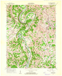 1961 Alexandria1962 Print · USGSNorthern Kentucky in the early sixties remains a landscape of river-bend farms and ridge-line communities along the Kenton and Campbell county line. Genealogists and hikers can trace old family roads and landmark sites like Pleasant Ridge Ch, Grants Bend, and the Louisville and Nashville rail line.2 unique versions available
 - 1961 Map of Newport, 1963 Print
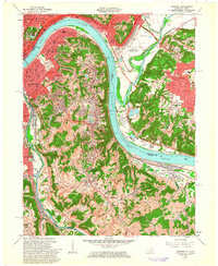 1961 Newport1963 Print · USGSGreater Cincinnati and Northern Kentucky were entering a period of suburban maturation in the early sixties as riverfront industry met rising hilltop neighborhoods. Researchers can trace local landmarks like Coney Island Amusement Park, Evergreen Cemetery, and the VA Hospital at Fort Thomas.3 unique versions available
 - 1964 Map of Louisville
 1964 Louisville1964 Print · USGSThe Ohio River valley and Kentucky Bluegrass are captured in the mid-1960s, showing a region balanced between industrial growth and its agrarian roots. Genealogists and historians can trace the development of county seats like Shelbyville and Paris, or locate established institutions such as Georgetown College and Bernheim Forest.
 - 1981 Map of Alexandria, 1982 Print
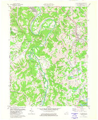 1981 Alexandria1982 Print · USGSIn the early eighties, this Campbell County corridor shows the winding Licking River and its rural settlements. Genealogists can trace landmarks like St Matthew Ch, Aspen Grove, and the Louisville and Nashville rail line.2 unique versions available
 - 1983 Map of Newport, 1984 Print
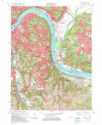 1983 Newport1984 Print · USGSGreater Cincinnati and Northern Kentucky come alive in this early 1980s survey of the riverfront and its surrounding hilltops. Genealogists and local historians can map out long-standing landmarks like Evergreen Cemetery, CINCINNATI MUNICIPAL AIRPORT (LUNKEN FIELD), and the St Ursula Convent and Academy.2 unique versions available
 - 1986 Map of Cincinnati
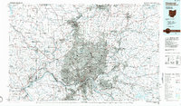 1986 Cincinnati1986 Print · USGSGreater Cincinnati and its tri-state surrounds are captured here in the mid-eighties as suburban growth reached into the neighboring hills and river valleys. Researchers can trace the development of transit hubs like Greater Cincinnati International Airport and historic sites such as Spring Grove Cemetery.3 unique versions available
 - 1986 Map of Falmouth
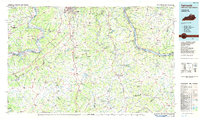 1986 Falmouth1986 Print · USGSNorthern Kentucky and the Ohio River valley are shown here in the mid-1980s, highlighting the region's complex river-and-rail geography. Genealogists and researchers can trace the roads connecting Big Bone Lick, Zion Church, and river towns like Falmouth and Augusta.2 unique versions available
 - 2010 Map of Alexandria, 2010 Print
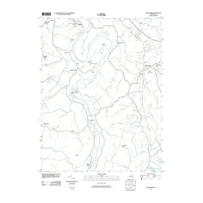 2010 Alexandria2010 Print · USGSNorthern Kentucky's river valleys and rolling uplands are captured here in the early twenty-first century as suburban growth meets rural heritage. Researchers can locate numerous family burial sites like Culbertson Cemetery and Simmons Cemetery, or trace landmarks like the Alexandria Fairgrounds.
 - 2010 Map of Newport, 2010 Print
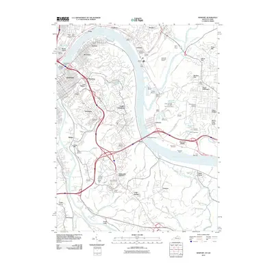 2010 Newport2010 Print · USGSGreater Cincinnati and Northern Kentucky are seen here at the start of the 2010s, centered on the riverfront communities and the hills above them. Genealogists and historians can trace numerous burial grounds like Evergreen Cemetery and Pioneer Cemetery, as well as landmarks like River Downs Racetrack and Northern Kentucky University.
 - 2013 Map of Alexandria, 2013 Print
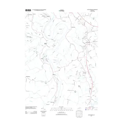 2013 Alexandria2013 Print · USGSThe Kenton and Campbell County borderlands are shaped by the winding Licking River in the early twenty-first century. Genealogists can locate numerous family burial grounds including White Cem and Simmons Cem, while tracing local landmarks like Grants Tunnel and Tenmile House.
 - 2013 Map of Newport, 2013 Print
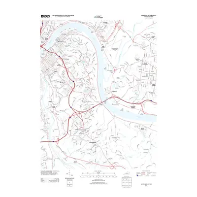 2013 Newport2013 Print · USGSThe riverfront communities of Northern Kentucky and Cincinnati are shown here in the early twenty-first century, spanning the Licking and Ohio Rivers. Genealogists and historians can trace numerous sites like Evergreen Cem, Old Coney Amusement Park, and Mount Washington.
 - 2016 Map of Newport, 2016 Print
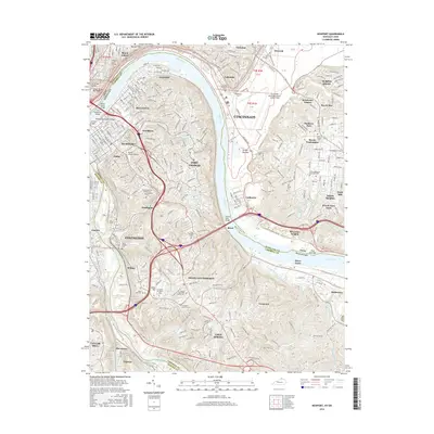 2016 Newport2016 Print · USGSThe riverfront cities of Northern Kentucky and Cincinnati are captured here in detail during a period of modern urban density. Genealogists can locate numerous burial grounds like Evergreen Cem Soldiers Lot and Asbury Methodist Church Cem alongside landmarks like Lunken Field.
 - 2016 Map of Alexandria, 2016 Print
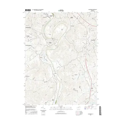 2016 Alexandria2016 Print · USGSThe Licking River valley south of Covington was a landscape of deep meanders and upland ridges during the mid-2010s. Genealogists and local historians can trace numerous family burial sites such as Armstrong Cem and landmarks like Grants Tunnel.
 - 2019 Map of Alexandria, 2019 Print
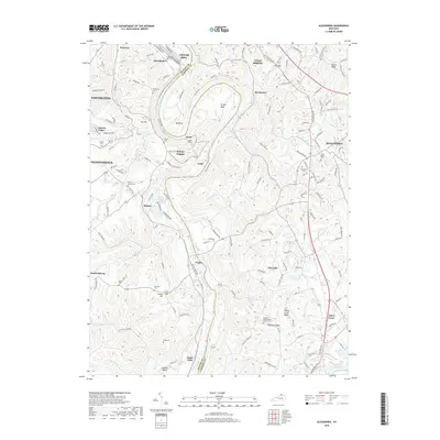 2019 Alexandria2019 Print · USGSThe Licking River divides Kenton and Campbell counties in this modern study of Northern Kentucky. Genealogists and historians can trace numerous family burial grounds including Simmons Cem and Rapp Cem near Visalia and Grants Tunnel.
 - 2019 Map of Newport, 2019 Print
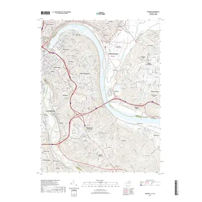 2019 Newport2019 Print · USGSThe Cincinnati and Northern Kentucky riverfront is shown at its modern peak, documenting the dense urban network across the Ohio River. Researchers can trace family history at the Pioneer Cem, Evergreen Cem Soldiers Lot, and the Saint Stephens Cem.
Showing maps 1-25 of 27
Top cities near Cold Spring
- Cincinnati historical maps
- Covington historical maps
- Florence historical maps
- Independence historical maps
- Norwood historical maps
- Erlanger historical maps
See more
Top neighborhoods of Cold Spring
Frequently asked questions
- What are the different types of historical maps available for Cold Spring?
- What is the oldest map of Cold Spring?
- Where can I purchase historical maps of Cold Spring for my home or office?
- Where can I download high-res historical maps of Cold Spring?
- Are there historical topographic maps available for Cold Spring?
- Is there historical aerial imagery available for Cold Spring?
- Where are historical maps of Cold Spring sourced from?