Old Maps of Mountain Top, Kentucky for Academic Research
Study the evolution of Mountain Top with 11 high-resolution historic maps. Whether you're teaching, researching, or modeling changes in land use, these maps provide essential visual documentation of urban, environmental, and geographic change.
- Analyze long-term change: Track patterns in development, transportation, and natural features.
- Ideal for environmental or urban studies: Support academic projects with primary historical map data.
- Use in the classroom or lab: Educators and researchers rely on these maps to bring historical context to life.
These maps are a powerful tool for teaching, research, and visualizing how Mountain Top has changed over the decades.
Mountain Top, KY maps
(11)- 1950 Map of Olive Hill, 1952 Print
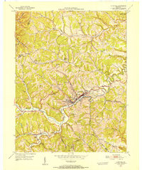 1950 Olive Hill1952 Print · USGSMid-century Carter County comes alive in this survey of the Olive Hill area, where the river-and-rail economy of the Appalachians is on full display. Genealogists and historians can trace family-named ridges and hollows, locating old landmarks like Erie College, James Chapel, and the settlement of Soldier.
 - 1957 Map of Huntington, 1966 Print
 1957 Huntington1966 Print · USGSThe industrial heart of the Ohio River valley is captured here in the mid-sixties, showing the growth of Huntington and Ashland. Researchers can trace the extensive rail networks of the Chesapeake and Ohio RR and locate sites like the Chief Cornstalk Hunting Ground.3 unique versions available
 - 1960 Map of Huntington
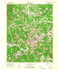
 1960 Huntington1960 Print · USGSThe tri-state river valley thrived in the late fifties as a hub of heavy industry and Appalachian rail transit. Genealogists and historians can trace the connection between river towns like Ashland and Portsmouth or locate family homesteads near Coleman Ridge.
 - 1962 Map of Olive Hill, 1964 Print
 1962 Olive Hill1964 Print · USGSOlive Hill and the surrounding rural hollows of Carter County are shown in detail during the early 1960s. Researchers can trace the path of the Chesapeake and Ohio railroad through old communities like Lawton and Globe.
 - 1970 Map of Olive Hill, 1972 Print
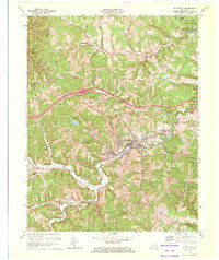 1970 Olive Hill1972 Print · USGSThe Tygarts Creek valley in the 1970s shows a landscape shaped by the Chesapeake and Ohio rail line. Trace family roots and local industry through Olive Hill, Soldier, and Lawton, or locate rural landmarks like Rose Chapel.2 unique versions available
 - 1982 Map of Morehead, 1983 Print
 1982 Morehead1983 Print · USGSThe foothills of northeastern Kentucky come alive in the early eighties, showcasing a landscape defined by timber, limestone caves, and major reservoirs. Local researchers can trace the development of Morehead State University or locate old crossings at Plummers Mill and Salt Lick.
 - 2010 Map of Olive Hill, 2010 Print
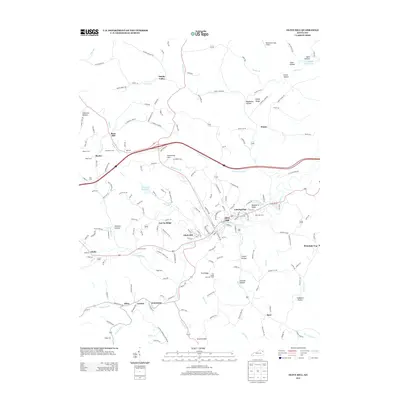
 2010 Olive Hill2010 Print · USGSCovers Mountain Top, including Olive Hill, Globe, and other nearby areas
 - 2013 Map of Olive Hill, 2013 Print
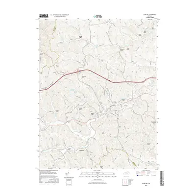
 2013 Olive Hill2013 Print · USGSCovers Mountain Top, including Olive Hill, Globe, and other nearby areas
 - 2016 Map of Olive Hill, 2016 Print
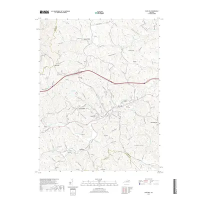
 2016 Olive Hill2016 Print · USGSCovers Mountain Top, including Olive Hill, Globe, and other nearby areas
 - 2019 Map of Olive Hill, 2019 Print
 2019 Olive Hill2019 Print · USGSCovers Mountain Top, including Olive Hill, Globe, and other nearby areas
 - 2022 Map of Olive Hill, 2022 Print
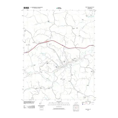
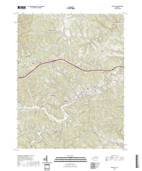 2022 Olive Hill2022 Print · USGSCarter County's rugged drainage basins and ridge-top communities are documented here in recent detail. Researchers can trace family sites from Olive Hill to outlying settlements like Smoky Valley, finding landmarks such as Kilgore Cem and Ross Chapel.
End of results
Showing maps 1-11 of 11
Top cities near Mountain Top
Frequently asked questions
- What are the different types of historical maps available for Mountain Top?
- What is the oldest map of Mountain Top?
- Where can I purchase historical maps of Mountain Top for my home or office?
- Where can I download high-res historical maps of Mountain Top?
- Are there historical topographic maps available for Mountain Top?
- Is there historical aerial imagery available for Mountain Top?
- Where are historical maps of Mountain Top sourced from?