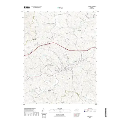
2019 Map of Olive Hill
USGS Topo · Published 2019About this map
Tygarts Creek winds through this section of the Cumberland Plateau, defining the corridor for local settlement and transportation. In this modern survey, the city of Olive Hill serves as a central hub, surrounded by upland communities like Garvin Ridge and Smoky Valley. The map reveals a deeply dissected landscape where family and community history is preserved in numerous hilltop burial grounds, including the Flannery Cem and the Van Hoose Cem near Clark Hill.
Find a feature on this map
105 named features on this map. Tap any name to fly to it.
Don’t see what you’re looking for? This feature index may not catch every label — zoom into the map to look around manually.
Map Details
Editions of this 2019 Olive Hill Map
This is the sole edition of this map. No revisions or reprints were ever made.
Other maps of this area

1929 · Morehead
USGS Topo · 1:48,000

1935 · Morehead
USGS Topo · 1:62,500

1950 · Head Of Grassy
USGS Topo · 1:24,000

1950 · Bruin
USGS Topo · 1:24,000

1950 · Grahn
USGS Topo · 1:24,000

1950 · Wesleyville
USGS Topo · 1:24,000

1950 · Olive Hill
USGS Topo · 1:24,000

1950 · Ault
USGS Topo · 1:24,000

1950 · Tygarts Valley
USGS Topo · 1:24,000

1951 · Soldier
USGS Topo · 1:24,000