2010s Maps of Hopkinsville, Kentucky
Explore 24 historic maps of Hopkinsville from the 2010s. These maps offer a rare glimpse into what life looked like during the 2010s — showing old roads, neighborhoods, homes, and landmarks that have changed or disappeared over time.
Whether you're researching your family's past, planning a metal detecting trip, or studying how Hopkinsville's landscape evolved across the 2010s, these high-resolution maps are a powerful tool for exploring the history of this region.
- Focus on a specific era: All maps on this page are from the 2010s, giving you a focused view of this time period.
- See what’s changed: Compare century-old streets, trails, and buildings to today's modern landscape using overlays and satellite layers.
- Research with precision: Use these maps for genealogy, historical research, land use analysis, or educational projects.
- View, download, or print: Maps are fully viewable online in high resolution, and can be downloaded or printed for your own records.
Start exploring Hopkinsville's history through authentic maps from the 2010s. This is your window into the past.
Hopkinsville, KY maps
(24)- 2010 Map of Pembroke, 2010 Print
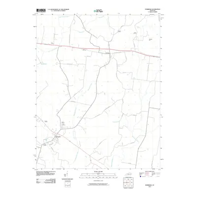 2010 Pembroke2010 Print · USGSPembroke and the surrounding Christian County farmland are captured in this 2010 survey of south-central Kentucky. Genealogists can trace family lineages through numerous local burial grounds including Rosedale, Goshen, and Shanklins.
 - 2010 Map of Church Hill, 2010 Print
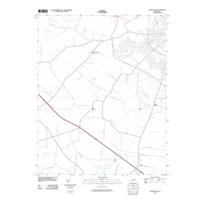 2010 Church Hill2010 Print · USGSChristian County at the dawn of the 2010s shows a landscape of established rural settlements and evolving suburban corridors. Genealogists and local historians can trace family-named roads and landmarks like Striped Bridge, Beverly, and the namesake Church Hill.
 - 2010 Map of Pleasant Green Hill, 2010 Print
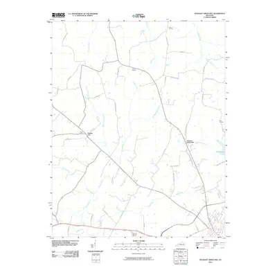 2010 Pleasant Green Hill2010 Print · USGSChristian County's rural landscape is captured here in the early twenty-first century, showing a network of family-named roads and winding waterways. Genealogists can locate legacy sites like Hamby Cemetery and Wood Cemetery near the banks of Sinking Fork.
 - 2010 Map of Kelly, 2010 Print
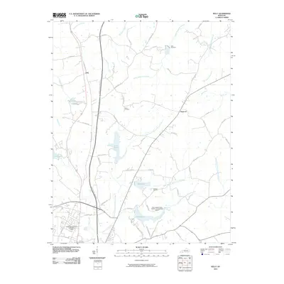 2010 Kelly2010 Print · USGSChristian County at the start of the 2010s shows a landscape of rural communities and evolving infrastructure. Trace family roots at Boyd Cemetery, visit the University of Kentucky Community College, or locate the curious New Fangled Flying Machine Incorporated Airport.
 - 2010 Map of Hopkinsville, 2010 Print
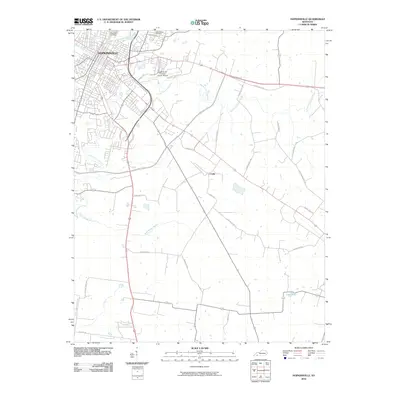 2010 Hopkinsville2010 Print · USGSChristian County at the start of the 2010s shows the expansion of Hopkinsville and its surrounding countryside. Genealogists and local historians can trace family locations near Casky, Riverside Cemetery, and along the South Fork Little River.
 - 2010 Map of Oak Grove, 2010 Print
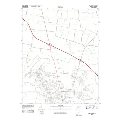 2010 Oak Grove2010 Print · USGSOak Grove at the turn of the decade serves as a vital border community between Kentucky and Tennessee, defined by its relationship with the nearby air base. Researchers can trace the layout of Campbell Army Air Field and local landmarks like Good Hope Cemetery and Outlaw Field.
 - 2013 Map of Church Hill, 2013 Print
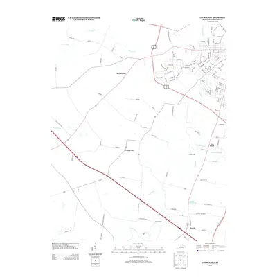 2013 Church Hill2013 Print · USGSThe rural countryside of Christian County comes into focus here in the early twenty-first century. Researchers can trace historic family locations and local landmarks near Church Hill, Beverly, and the distinctive Striped Bridge over the Little River.
 - 2013 Map of Hopkinsville, 2013 Print
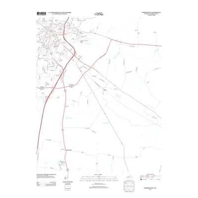 2013 Hopkinsville2013 Print · USGSChristian County near the turn of the millennium shows the intersection of urban growth and rural heritage. Genealogists and local historians can trace burial sites like Riverside Cem or follow the paths of the S Fork Little River and Rock Bridge Br.
 - 2013 Map of Pembroke, 2013 Print
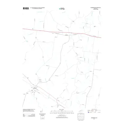 2013 Pembroke2013 Print · USGSThe Christian County countryside around Pembroke and Fairview is captured here in the early twenty-first century. Researchers can trace numerous local burial sites like Shanklins Cem and Rosedale Cem or follow the waters of the W Fork Red River.
 - 2013 Map of Oak Grove, 2013 Print
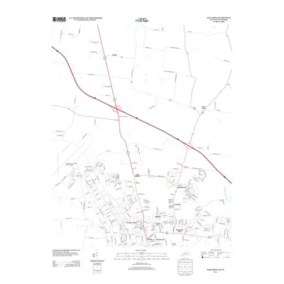 2013 Oak Grove2013 Print · USGSThe Kentucky-Tennessee border at the edge of Fort Campbell is captured here in the early twenty-first century, showcasing the region's unique military and civilian mix. Genealogists and local historians can trace family roots through Saint Elmo and Fidelio or locate burial sites at Good Hope Cem.
 - 2013 Map of Pleasant Green Hill, 2013 Print
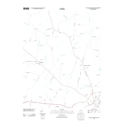 2013 Pleasant Green Hill2013 Print · USGSChristian County's rolling farmland and creek valleys are captured here in the early twenty-first century. Genealogists and local historians can locate numerous family burial sites like Harmony Grave Cem and Boyd Cem along the winding Sinking Fork.
 - 2013 Map of Kelly, 2013 Print
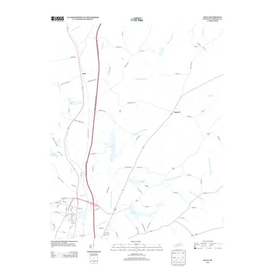 2013 Kelly2013 Print · USGSChristian County near the turn of the twenty-first century reveals a landscape of small communities and complex waterways north of Hopkinsville. Genealogists and local researchers can locate Boyd Cem and Haddock Cem or trace the drainage of Lake Morris into the Upper Br N Fork Little River.
 - 2016 Map of Hopkinsville, 2016 Print
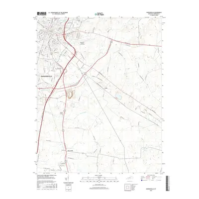 2016 Hopkinsville2016 Print · USGSThe Pennyrile region of Kentucky comes into focus in the mid-2010s, centered on the growing city of HOPKINSVILLE and its surrounding countryside. Researchers can trace modern developments alongside historic sites like Riverside Cem, the community of Casky, and Rock Bridge Br.
 - 2016 Map of Kelly, 2016 Print
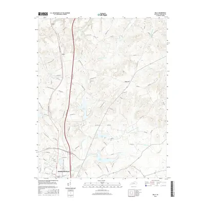 2016 Kelly2016 Print · USGSChristian County during the mid-2010s shows a landscape defined by its vital water sources and the northern expansion of the county seat. Researchers can find burial sites at Boyd Cem or trace the early paths of Old Greenville Rd and Kelly.
 - 2016 Map of Oak Grove, 2016 Print
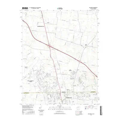 2016 Oak Grove2016 Print · USGSThe Kentucky-Tennessee borderlands come alive in this mid-2010s survey, showing the expansion of Oak Grove and Clarksville. Researchers can trace military landmarks like Campbell Army Airfield alongside local sites like Good Hope Cem and Saint Elmo.
 - 2016 Map of Pembroke, 2016 Print
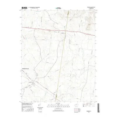 2016 Pembroke2016 Print · USGSChristian and Todd counties appear here in the mid-2010s, showing a transition between the city of HOPKINSVILLE and the outlying farm country. Researchers can trace rural lineages through numerous local sites like Brown Cem, Union Cem, and the settlement of Pembroke.
 - 2016 Map of Church Hill, 2016 Print
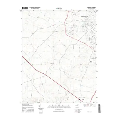 2016 Church Hill2016 Print · USGSChristian County at the height of its modern expansion shows the suburban growth of Hopkinsville into the surrounding countryside. Genealogists and local historians can trace family locations through established settlements like Church Hill, Merrittstown, and Beverly.
 - 2016 Map of Pleasant Green Hill, 2016 Print
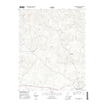 2016 Pleasant Green Hill2016 Print · USGSChristian County at the midpoint of the twenty-first century's second decade shows the intersection of rural heritage and suburban growth. Genealogists can locate family burial grounds like Hamby Cem and Wood Cem while tracing the winding banks of the Sinking Fork.
 - 2019 Map of Hopkinsville, 2019 Print
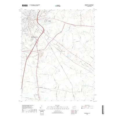 2019 Hopkinsville2019 Print · USGSHopkinsville and its surrounding Christian County landscape are shown in the late 2010s, centered on the confluence of the Little River forks. Genealogists and local historians can locate Kentucky Veteran's Cem West, the rural community of Masonville, and historic burial sites like Cave Spring Cem.
 - 2019 Map of Pembroke, 2019 Print
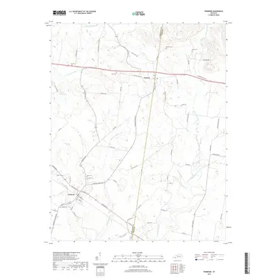 2019 Pembroke2019 Print · USGSSouthwestern Kentucky farmland near the Christian and Todd county line is mapped in detail during the late 2010s. Genealogists can locate numerous family burial grounds including Goshen Cem, Shanklins Cem, and Rosedale Cem near the town of Pembroke.
 - 2019 Map of Pleasant Green Hill, 2019 Print
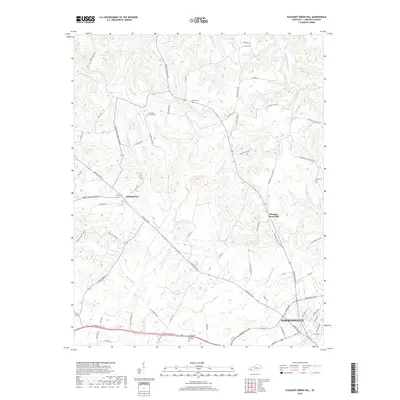 2019 Pleasant Green Hill2019 Print · USGSChristian County's transition from the city of Hopkinsville to rural farmland is captured in this recent survey. Local historians can trace family ties through Harmony Grove Cem, Hamby Cem, and the old settlement at Pleasant Green Hill.
 - 2019 Map of Oak Grove, 2019 Print
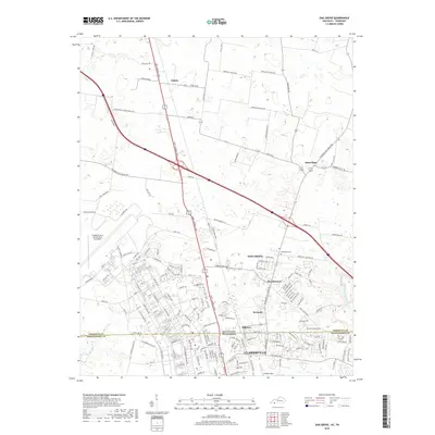 2019 Oak Grove2019 Print · USGSThe Kentucky-Tennessee borderlands appear here in the late 2010s as suburban expansion meets military tradition. Researchers can trace the development of Oak Grove and Clarksville alongside landmarks like Good Hope Cem and Outlaw Field.
 - 2019 Map of Church Hill, 2019 Print
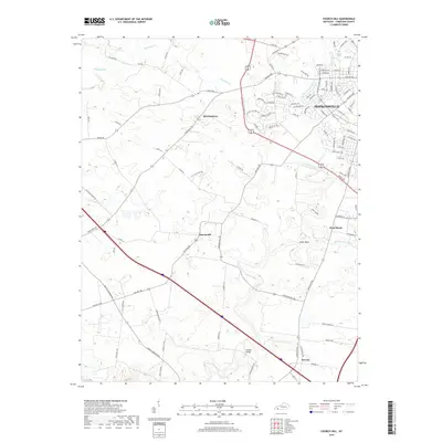 2019 Church Hill2019 Print · USGSChristian County at the end of the 2010s shows a landscape of growing suburbs and deep-rooted rural crossroads. Genealogists and local historians can trace the developments around Hopkinsville and identify landmarks in outlying Merrittstown, Church Hill, and near the Striped Bridge.
 - 2019 Map of Kelly, 2019 Print
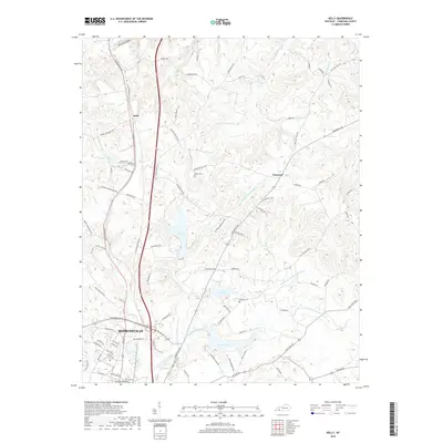 2019 Kelly2019 Print · USGSNorth of Hopkinsville in the late 2010s, this area shows a landscape defined by evolving suburban growth and established rural hamlets. Researchers can trace historic family connections at Riverside Cem and Haddock Cem or follow the waters of Lake Morris and Lake Boxley.
End of results
Showing maps 1-24 of 24
Top cities near Hopkinsville
- Clarksville historical maps
- Oak Grove historical maps
- Pembroke historical maps
- Trenton historical maps
- LaFayette historical maps
Top neighborhoods of Hopkinsville
Frequently asked questions
- What are the different types of historical maps available for Hopkinsville?
- What is the oldest map of Hopkinsville?
- Where can I purchase historical maps of Hopkinsville for my home or office?
- Where can I download high-res historical maps of Hopkinsville?
- Are there historical topographic maps available for Hopkinsville?
- Is there historical aerial imagery available for Hopkinsville?
- Where are historical maps of Hopkinsville sourced from?