Old Maps of Oak Grove, Kentucky for Hiking & Exploration
Hike through history with 21 historic maps of Oak Grove. Explore old trails, ghost towns, and forgotten backroads — perfect for outdoor adventurers and local explorers.
- Rediscover forgotten places: Map out old mining camps, roads, and footpaths that no longer exist on modern maps.
- Layer with modern tools: Combine with LiDAR or satellite views to plan hikes through historical terrain.
- Made for exploration: Popular among hikers, overlanders, and local history lovers.
Use these maps to find adventure and explore the hidden past of Oak Grove.
Oak Grove, KY maps
(21)- 1944 Map of Clarksville, 1946 Print
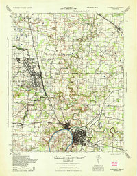 1944 Clarksville1946 Print · USGSThe Kentucky-Tennessee border during the mid-forties shows a landscape transformed by the massive expansion of Camp Campbell. Researchers can trace the early layout of the base and its Small Arms Ranges alongside historic sites like Dunbar Cave and the Sunnyside Church.
 - 1951 Map of Hammacksville, 1953 Print
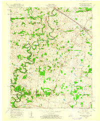
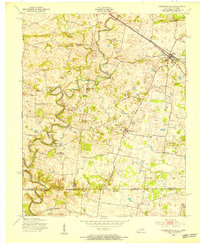 1951 Hammacksville1953 Print · USGSThe Kentucky-Tennessee borderlands in the early fifties show a landscape of winding river bends and railroad-aligned settlements. Genealogists can trace family roots through numerous local landmarks, from Rosenwald Sch to the rural Barkers Mill community.
 - 1951 Map of Oak Grove, 1953 Print
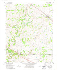
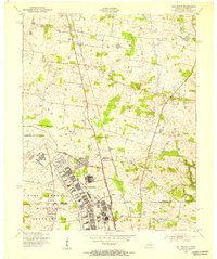 1951 Oak Grove1953 Print · USGSThe Kentucky and Tennessee borderlands are captured here in the early fifties as military expansion meets rural life. Researchers can trace the development of Fort Campbell alongside old community hubs like Fidelio, St Elmo, and the Tennessee Central Railroad.
 - 1956 Map of Nashville, 1971 Print
 1956 Nashville1971 Print · USGSThe Tennessee-Kentucky borderlands come into focus in the mid-1960s as major reservoir projects transformed the Cumberland and Tennessee river valleys. Researchers can trace the rail networks of the Louisville and Nashville and visit sites like Fort Campbell and Fort Donelson National Military Park.2 unique versions available
 - 1957 Map of Oak Grove, 1960 Print
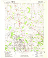
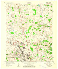 1957 Oak Grove1960 Print · USGSThe Kentucky-Tennessee borderlands are captured here in the late fifties as military expansion at Fort Campbell meets the rural farming country of Christian County. Genealogists and local historians can trace small settlements like Fidelio, visit country churches like Salem Ch, and locate the Drive-in Theater near Oak Grove.
 - 1957 Map of Hammacksville, 1960 Print
 1957 Hammacksville1960 Print · USGSTodd County, Kentucky, and Montgomery County, Tennessee, meet here in the late fifties along the meandering river and rail lines. Genealogists can trace family roots at Rosenwald Sch, Edgewood Cem, and the riverside site of Barkers Mill.
 - 1957 Map of Clarksville, 1963 Print
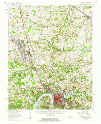 1957 Clarksville1963 Print · USGSThe Clarksville region and the Kentucky-Tennessee border are shown here during the mid-century expansion of Fort Campbell. Researchers can trace old family sites and rural landmarks like Barkers Mill, St Bethlehem, and the Tennessee Central railroad.
 - 1959 Map of Nashville
 1959 Nashville1959 Print · USGSMiddle Tennessee and Southern Kentucky come into focus during the late fifties, showing the region's transition into a modern transportation and military hub. Researchers can trace the sprawling Fort Campbell Military Reservation or locate historic rail stops along the Tennessee Central Ry and Illinois Central RR.
 - 1974 Map of Trenton, 1976 Print
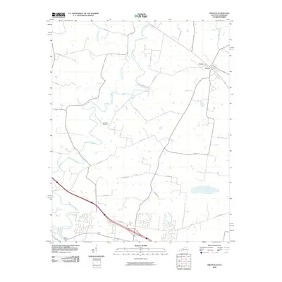
 1974 Trenton1976 Print · USGSThe Kentucky-Tennessee borderlands in the mid-1970s reveal a landscape of river-bend farms and rail-dependent towns. Researchers can locate family landmarks such as Woodward Cem, the community of Barkers Mill, and rural sites like Pisgah Ch and Trenton.
 - 1979 Map of Oak Grove
 1979 Oak Grove1979 Print · USGSThe Kentucky-Tennessee state line divides this 1970s landscape, centered on the strategic presence of Fort Campbell. Researchers can trace the development of Oak Grove and Hensleytown near landmarks like Salem Ch and the Drive-in Theater.2 unique versions available
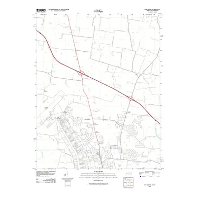
 - 1980 Map of Hopkinsville, 1983 Print
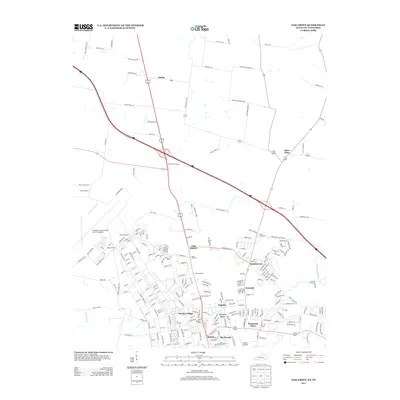
 1980 Hopkinsville1983 Print · USGSThe Kentucky and Tennessee borderlands appear here at the start of the 1980s, centered on the massive Fort Campbell Military Reservation. Trace the impact of the Cumberland River impoundment at Lake Barkley or locate rail hubs like Guthrie and Elkton.
 - 2010 Map of Trenton, 2010 Print
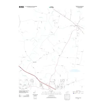
 2010 Trenton2010 Print · USGSCovers Oak Grove, including Clarksville, Trenton, and other nearby areas
 - 2010 Map of Oak Grove, 2010 Print
 2010 Oak Grove2010 Print · USGSCovers Oak Grove, including Clarksville, Hopkinsville, and other nearby areas
 - 2013 Map of Oak Grove, 2013 Print
 2013 Oak Grove2013 Print · USGSCovers Oak Grove, including Clarksville, Hopkinsville, and other nearby areas
 - 2013 Map of Trenton, 2013 Print
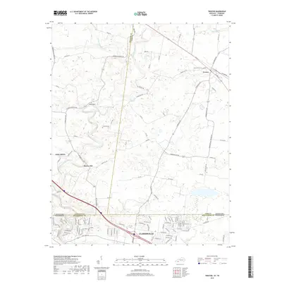
 2013 Trenton2013 Print · USGSCovers Oak Grove, including Clarksville, Trenton, and other nearby areas
 - 2016 Map of Oak Grove, 2016 Print
 2016 Oak Grove2016 Print · USGSCovers Oak Grove, including Clarksville, Hopkinsville, and other nearby areas
 - 2016 Map of Trenton, 2016 Print
 2016 Trenton2016 Print · USGSCovers Oak Grove, including Clarksville, Trenton, and other nearby areas
 - 2019 Map of Trenton, 2019 Print
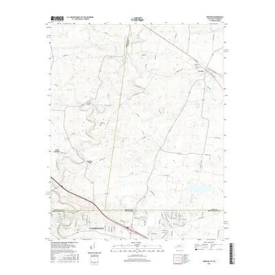
 2019 Trenton2019 Print · USGSCovers Oak Grove, including Clarksville, Trenton, and other nearby areas
 - 2019 Map of Oak Grove, 2019 Print
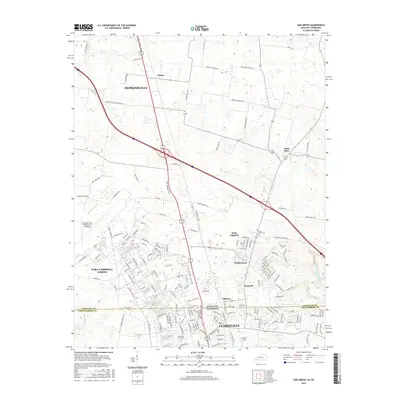
 2019 Oak Grove2019 Print · USGSCovers Oak Grove, including Clarksville, Hopkinsville, and other nearby areas
 - 2022 Map of Oak Grove, 2022 Print
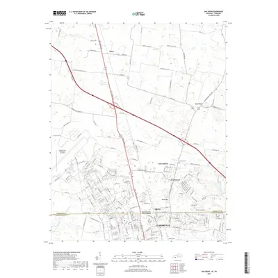
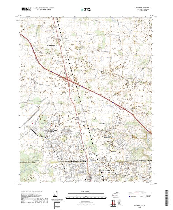 2022 Oak Grove2022 Print · USGSThe border between Kentucky and Tennessee meets at the edge of Fort Campbell in this contemporary look at the region. Researchers can trace military landmarks like Campbell Army Airfield alongside family sites like the Elliott Family Cem and Gee Cem.
 - 2022 Map of Trenton, 2022 Print
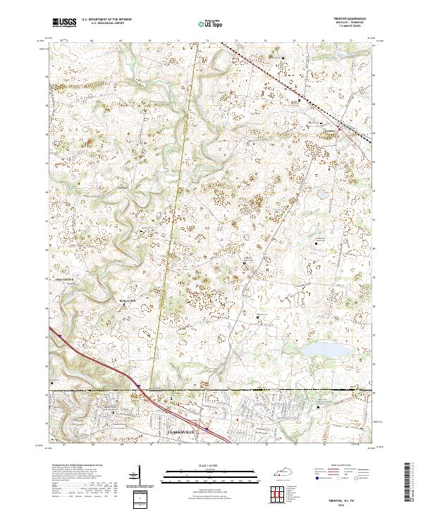 2022 Trenton2022 Print · USGSThe Kentucky and Tennessee borderlands come alive in this detailed look at rural life and crossroads settlements. Genealogists can trace family lines through numerous sites like Edgewood Cem, Barkers Mill, and Mount Zion Missionary Baptist Church.
End of results
Showing maps 1-21 of 21
Top cities near Oak Grove
- Clarksville historical maps
- Hopkinsville historical maps
- Elkton historical maps
- Guthrie historical maps
- Pembroke historical maps
- Trenton historical maps
See more
Top neighborhoods of Oak Grove
Frequently asked questions
- What are the different types of historical maps available for Oak Grove?
- What is the oldest map of Oak Grove?
- Where can I purchase historical maps of Oak Grove for my home or office?
- Where can I download high-res historical maps of Oak Grove?
- Are there historical topographic maps available for Oak Grove?
- Is there historical aerial imagery available for Oak Grove?
- Where are historical maps of Oak Grove sourced from?