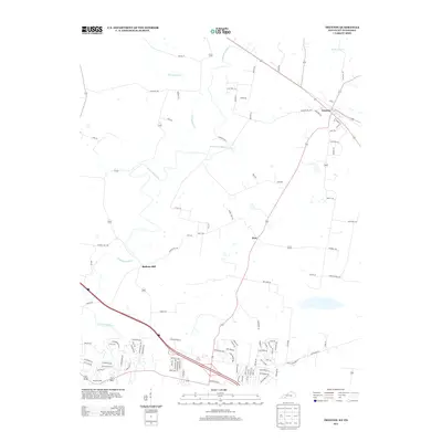
2013 Map of Trenton
USGS Topo · Published 2013About this map
W Fork Red River meanders across this landscape, defining the character of the terrain between Tennessee and Kentucky. The area is marked by long-standing milling sites such as Barkers Mill and Peachers Mill, which point to a historic reliance on the river for local industry and trade. To the north, the community of Trenton serves as a focal point, where a structured grid of streets like 3rd St and Cedar St meets the rural road network. The landscape is dotted with family-named routes and small settlements like Zion, illustrating a rural pattern of development that has persisted into the modern era. Smaller waterways, including Montgomery Cr and Reins Lick Cr, further divide the agricultural land, while features such as Cemetary Rd provide specific points of interest for those tracing local lineage and community history.
Find a feature on this map
100 named features on this map. Tap any name to fly to it.
Don’t see what you’re looking for? This feature index may not catch every label — zoom into the map to look around manually.
Map Details
Editions of this 2013 Trenton Map
This is the sole edition of this map. No revisions or reprints were ever made.
Other maps of this area

1944 · Clarksville
USGS Topo · 1:50,000

1950 · Guthrie
USGS Topo · 1:24,000

1950 · Pembroke
USGS Topo · 1:24,000

1951 · Pembroke
USGS Topo · 1:24,000

1951 · Elkton
USGS Topo · 1:24,000

1951 · Hopkinsville
USGS Topo · 1:24,000

1951 · New Providence
USGS Topo · 1:24,000

1951 · Hammacksville
USGS Topo · 1:24,000

1951 · Clarksville
USGS Topo · 1:24,000

1951 · Oak Grove
USGS Topo · 1:24,000