2000s (21st Century) Maps of Clay County, Kentucky
Explore 70 historic maps of Clay County from the 2000s (21st Century). These maps offer a rare glimpse into what life looked like during the 2000s — showing old roads, neighborhoods, homes, and landmarks that have changed or disappeared over time.
Whether you're researching your family's past, planning a metal detecting trip, or studying how Clay County's landscape evolved across the 2000s, these high-resolution maps are a powerful tool for exploring the history of this region.
- Focus on a specific era: All maps on this page are from the 2000s, giving you a focused view of this time period.
- See what’s changed: Compare century-old streets, trails, and buildings to today's modern landscape using overlays and satellite layers.
- Research with precision: Use these maps for genealogy, historical research, land use analysis, or educational projects.
- View, download, or print: Maps are fully viewable online in high resolution, and can be downloaded or printed for your own records.
Start exploring Clay County's history through authentic maps from the 2000s. This is your window into the past.
Clay County, KY maps
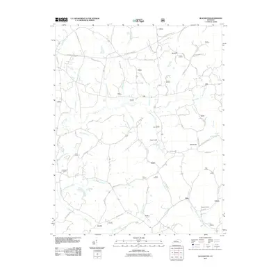
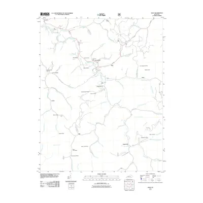
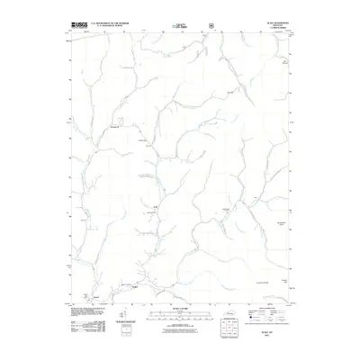
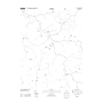
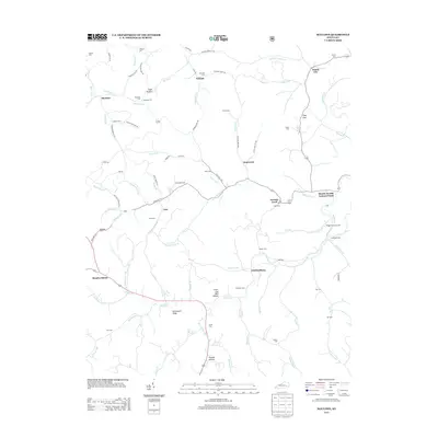
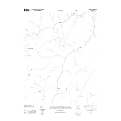
(70)- 2011 Map of Oneida, 2011 Print
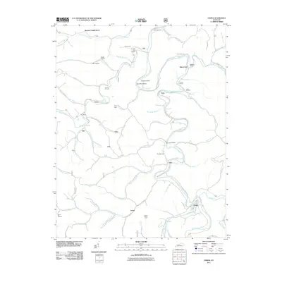 2011 Oneida2011 Print · USGSCovers Clay County, including Trixie, Felty, and other nearby areas
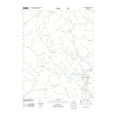
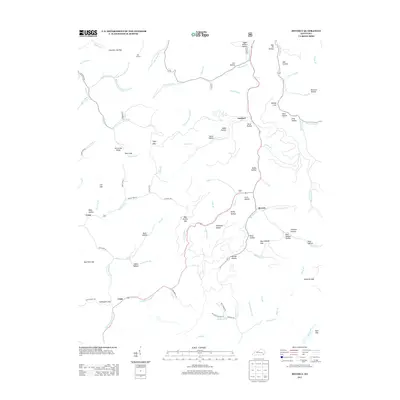
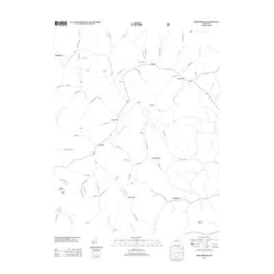
 - 2011 Map of Portersburg, 2011 Print
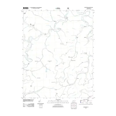
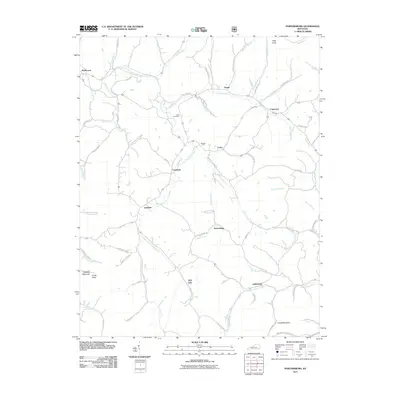 2011 Portersburg2011 Print · USGSCovers Clay County, including Deer Lick, Fogertown, and other nearby areas
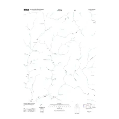
 - 2011 Map of Creekville, 2011 Print
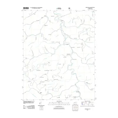 2011 Creekville2011 Print · USGSCovers Clay County, including Roark, Ashers Fork, and other nearby areas
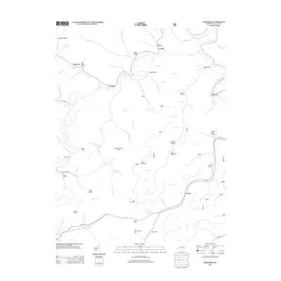
 - 2011 Map of Mistletoe, 2011 Print
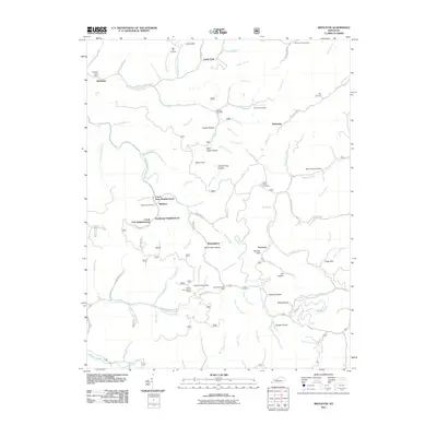 2011 Mistletoe2011 Print · USGSCovers Clay County, including Dalesburg, Whoopflarea, and other nearby areas
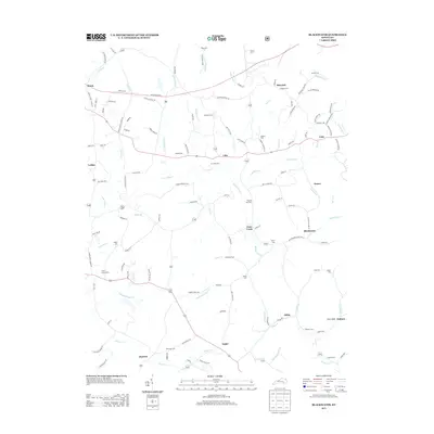
 - 2011 Map of Blackwater, 2011 Print
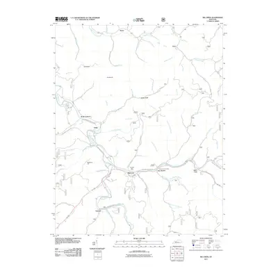
 2011 Blackwater2011 Print · USGSCovers Clay County, including Gibbs, Fletcher, and other nearby areas
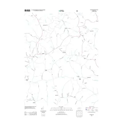
 - 2011 Map of Tyner, 2011 Print
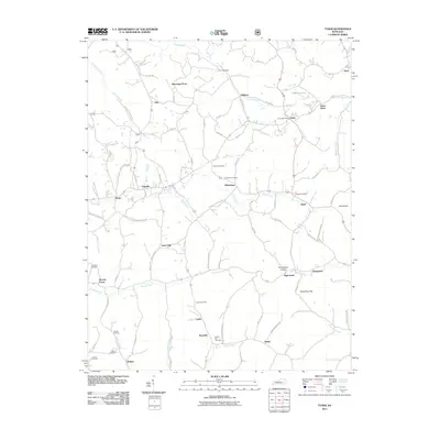 2011 Tyner2011 Print · USGSCovers Clay County, including Annville, Zekes Point, and other nearby areas
 - 2011 Map of Big Creek, 2011 Print
 2011 Big Creek2011 Print · USGSCovers Clay County, including Jacks Creek, Brutus, and other nearby areas
 - 2011 Map of Barcreek, 2011 Print
 2011 Barcreek2011 Print · USGSCovers Clay County, including Barcreek, Hector, and other nearby areas
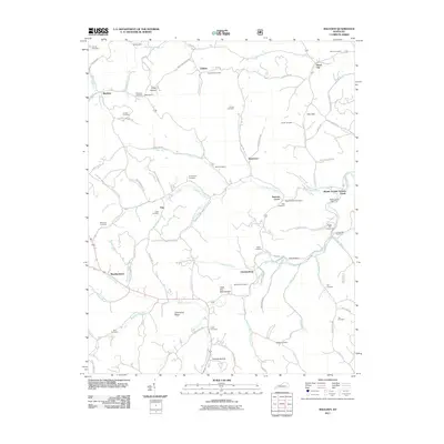
 - 2011 Map of Ogle, 2011 Print
 2011 Ogle2011 Print · USGSCovers Clay County, including Garrard, Lincoln, and other nearby areas
 - 2011 Map of Hima, 2011 Print
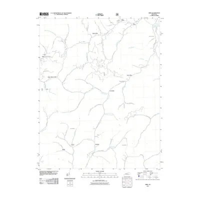 2011 Hima2011 Print · USGSCovers Clay County, including Woollum, Hima, and other nearby areas
 - 2011 Map of Maulden, 2011 Print
 2011 Maulden2011 Print · USGSCovers Clay County, including Island City, Maulden, and other nearby areas
 - 2011 Map of Manchester, 2011 Print
 2011 Manchester2011 Print · USGSCovers Clay County, including Manchester, Hooker, and other nearby areas
 - 2011 Map of Scalf, 2011 Print
 2011 Scalf2011 Print · USGSCovers Clay County, including Scalf, Dewitt, and other nearby areas
 - 2011 Map of Beverly, 2011 Print
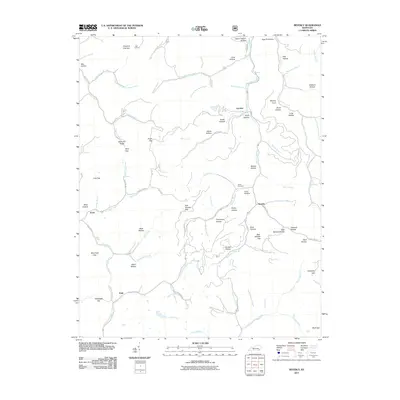 2011 Beverly2011 Print · USGSCovers Clay County, including Beverly, Field, and other nearby areas
 - 2013 Map of Creekville, 2013 Print
 2013 Creekville2013 Print · USGSCovers Clay County, including Roark, Ashers Fork, and other nearby areas
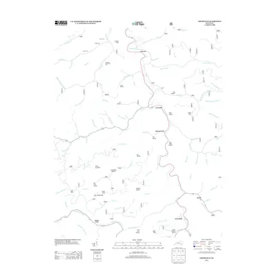
 - 2013 Map of Mistletoe, 2013 Print
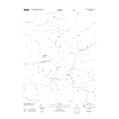 2013 Mistletoe2013 Print · USGSCovers Clay County, including Dalesburg, Whoopflarea, and other nearby areas
 - 2013 Map of Ogle, 2013 Print
 2013 Ogle2013 Print · USGSCovers Clay County, including Garrard, Lincoln, and other nearby areas
 - 2013 Map of Beverly, 2013 Print
 2013 Beverly2013 Print · USGSCovers Clay County, including Beverly, Field, and other nearby areas
 - 2013 Map of Scalf, 2013 Print
 2013 Scalf2013 Print · USGSCovers Clay County, including Scalf, Dewitt, and other nearby areas
 - 2013 Map of Barcreek, 2013 Print
 2013 Barcreek2013 Print · USGSCovers Clay County, including Barcreek, Hector, and other nearby areas
 - 2013 Map of Maulden, 2013 Print
 2013 Maulden2013 Print · USGSCovers Clay County, including Island City, Maulden, and other nearby areas
 - 2013 Map of Portersburg, 2013 Print
 2013 Portersburg2013 Print · USGSCovers Clay County, including Deer Lick, Fogertown, and other nearby areas
 - 2013 Map of Tyner, 2013 Print
 2013 Tyner2013 Print · USGSCovers Clay County, including Annville, Zekes Point, and other nearby areas
 - 2013 Map of Blackwater, 2013 Print
 2013 Blackwater2013 Print · USGSCovers Clay County, including Gibbs, Fletcher, and other nearby areas
 - 2013 Map of Hima, 2013 Print
 2013 Hima2013 Print · USGSCovers Clay County, including Woollum, Hima, and other nearby areas
Showing maps 1-25 of 70
Top cities of Clay County
Frequently asked questions
- What are the different types of historical maps available for Clay County?
- What is the oldest map of Clay County?
- Where can I purchase historical maps of Clay County for my home or office?
- Where can I download high-res historical maps of Clay County?
- Are there historical topographic maps available for Clay County?
- Is there historical aerial imagery available for Clay County?
- Where are historical maps of Clay County sourced from?