Old Maps of Felty, Kentucky for Hiking & Exploration
Hike through history with 11 historic maps of Felty. Explore old trails, ghost towns, and forgotten backroads — perfect for outdoor adventurers and local explorers.
- Rediscover forgotten places: Map out old mining camps, roads, and footpaths that no longer exist on modern maps.
- Layer with modern tools: Combine with LiDAR or satellite views to plan hikes through historical terrain.
- Made for exploration: Popular among hikers, overlanders, and local history lovers.
Use these maps to find adventure and explore the hidden past of Felty.
Felty, KY maps
(11)- 1891 Map of Manchester
 1891 Manchester1891 Print · USGSEastern Kentucky's mountain settlements and early salt industry come to life in the years following the Reconstruction era. Genealogists and historians can locate early family landmarks such as Moore Store, the Salt Works, and Boush Store.7 unique versions available
 - 1953 Map of Oneida, 1954 Print
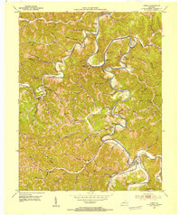 1953 Oneida1954 Print · USGSThe confluence of the South Fork Kentucky River and Red Bird River dominates this mid-century Clay County survey. Genealogists can trace family names at Sizemore Cem and locate vanished local landmarks like Aldridge Rock Sch and the Oneida Lookout Tower.2 unique versions available
 - 1957 Map of Jenkins, 1974 Print
 1957 Jenkins1974 Print · USGSThe Cumberland Plateau in the mid-twentieth century reveals a complex landscape of winding river valleys and deep-seated industry. Genealogists and historians can trace the development of Hazard, Jenkins, and Pikeville alongside extensive Numerous Oil and Gas Fields and the routes of the Chesapeake & Ohio Railway.
 - 1960 Map of Jenkins
 1960 Jenkins1960 Print · USGSEastern Kentucky and the West Virginia borderlands are captured at a mid-century peak of the coal and rail era. Trace the industrial corridors of the Chesapeake and Ohio RR through mountain hubs like Hazard and Jenkins.
 - 1977 Map of Hazard, 1983 Print
 1977 Hazard1983 Print · USGSEastern Kentucky's coal country comes into sharp focus during the late seventies, showing the deep-set river valleys and mountain gaps that shaped regional life. Genealogists can trace family connections through river-bottom settlements like Oneida, Krypton, and Bulan or follow the Seaboard System rail lines.
 - 1979 Map of Oneida
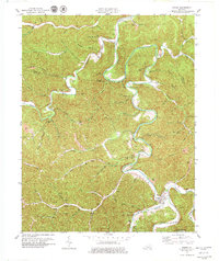 1979 Oneida1979 Print · USGSThe confluence of Goose Creek and the South Fork Kentucky River defines this Clay County landscape during the late 1970s. Genealogists can locate family landmarks like the Sizemore Cem or Oneida Baptist Institute.
 - 2011 Map of Oneida, 2011 Print
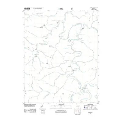 2011 Oneida2011 Print · USGSCovers Felty, including Trixie, Alger, and other nearby areas
 - 2013 Map of Oneida, 2013 Print
 2013 Oneida2013 Print · USGSCovers Felty, including Trixie, Alger, and other nearby areas
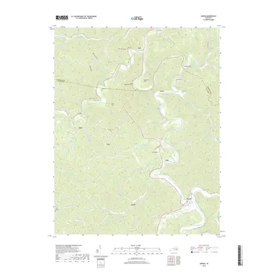
 - 2016 Map of Oneida, 2016 Print
 2016 Oneida2016 Print · USGSCovers Felty, including Trixie, Alger, and other nearby areas
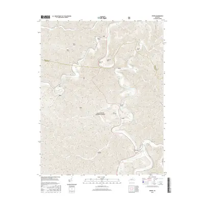
 - 2019 Map of Oneida, 2019 Print
 2019 Oneida2019 Print · USGSCovers Felty, including Trixie, Alger, and other nearby areas
 - 2022 Map of Oneida, 2022 Print
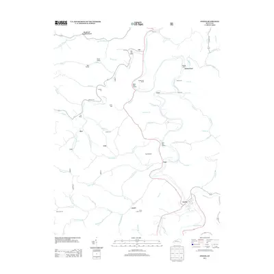
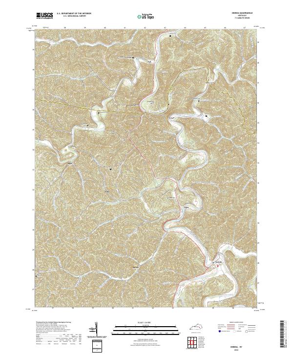 2022 Oneida2022 Print · USGSClay County mountain life is captured here in the early twenty-first century, showing the enduring patterns of river-bottom settlements. Researchers can trace family history through many hillside burial sites like Bishop Cem or the community hubs of Teges and Oneida.
End of results
Showing maps 1-11 of 11
Top cities near Felty
- Manchester historical maps
- Island City historical maps
- Booneville historical maps
- Buckhorn historical maps
Frequently asked questions
- What are the different types of historical maps available for Felty?
- What is the oldest map of Felty?
- Where can I purchase historical maps of Felty for my home or office?
- Where can I download high-res historical maps of Felty?
- Are there historical topographic maps available for Felty?
- Is there historical aerial imagery available for Felty?
- Where are historical maps of Felty sourced from?