Old Maps of Narvel, Kentucky for Academic Research
Study the evolution of Narvel with 10 high-resolution historic maps. Whether you're teaching, researching, or modeling changes in land use, these maps provide essential visual documentation of urban, environmental, and geographic change.
- Analyze long-term change: Track patterns in development, transportation, and natural features.
- Ideal for environmental or urban studies: Support academic projects with primary historical map data.
- Use in the classroom or lab: Educators and researchers rely on these maps to bring historical context to life.
These maps are a powerful tool for teaching, research, and visualizing how Narvel has changed over the decades.
Narvel, KY maps
(10)- 1954 Map of Cumberland City, 1955 Print
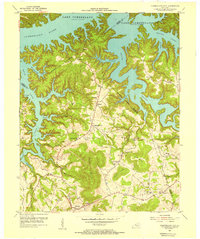 1954 Cumberland City1955 Print · USGSIn the mid-fifties, the newly formed shores of Lake Cumberland redefined these Clinton and Wayne County valleys. Genealogists and historians can trace the foundations of rural life through Cumberland City, Watauga Post Office, and many family burial grounds like McWhorter Cemetery.2 unique versions available
 - 1956 Map of Corbin, 1966 Print
 1956 Corbin1966 Print · USGSThe Kentucky and Tennessee borderlands are captured here in the mid-fifties, showing the region's shift toward modern interstate travel and reservoir development. Genealogists and historians can trace old community lines near Albany and Monticello or locate early rail junctions along the Southern and Tennessee Central lines.3 unique versions available
 - 1958 Map of Corbin
 1958 Corbin1958 Print · USGSThe Upper Cumberland borderlands appear in the late 1950s as massive reservoirs and early atomic-era growth reshape the region. Trace family roots and vanished landmarks near Lake Cumberland, Oak Ridge, and the Cumberland National Forest.
 - 1978 Map of Cumberland City
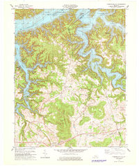 1978 Cumberland City1978 Print · USGSClinton and Wayne Counties appear here in the late seventies, centered on the complex, winding shoreline of Lake Cumberland. Genealogists and local historians can locate many family sites, from the Hickory Ridge Cem to the rural community of Alpha.2 unique versions available
 - 1985 Map of Tompkinsville, 1986 Print
 1985 Tompkinsville1986 Print · USGSThe Kentucky-Tennessee borderlands come into focus in the mid-1980s, showcasing a landscape of river-fed valleys and rural crossroads. Genealogists and local historians can trace family locations from Glasgow and Edmonton to the distinctively named Eighty Eight, Bugtussle, and Akersville.2 unique versions available
 - 2010 Map of Cumberland City, 2010 Print
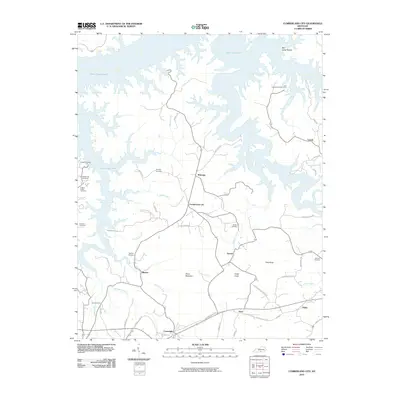 2010 Cumberland City2010 Print · USGSCovers Narvel, including Cumberland City, Watauga, and other nearby areas
 - 2013 Map of Cumberland City, 2013 Print
 2013 Cumberland City2013 Print · USGSCovers Narvel, including Cumberland City, Watauga, and other nearby areas
 - 2016 Map of Cumberland City, 2016 Print
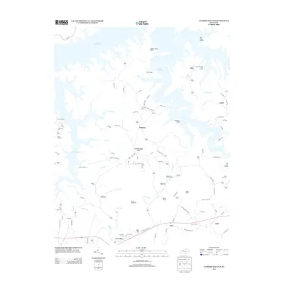
 2016 Cumberland City2016 Print · USGSCovers Narvel, including Cumberland City, Watauga, and other nearby areas
 - 2019 Map of Cumberland City, 2019 Print
 2019 Cumberland City2019 Print · USGSCovers Narvel, including Cumberland City, Watauga, and other nearby areas
 - 2022 Map of Cumberland City, 2022 Print
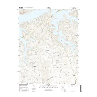
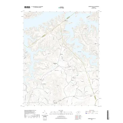
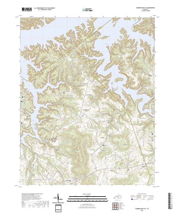 2022 Cumberland City2022 Print · USGSClinton County's rolling ridge country and the shores of Lake Cumberland appear here in the early twenty-first century. Genealogists can locate family landmarks such as McWhorter Cem, Walnut Grove Church, and the rural settlement of Cumberland City.
End of results
Showing maps 1-10 of 10
Top cities near Narvel
Frequently asked questions
- What are the different types of historical maps available for Narvel?
- What is the oldest map of Narvel?
- Where can I purchase historical maps of Narvel for my home or office?
- Where can I download high-res historical maps of Narvel?
- Are there historical topographic maps available for Narvel?
- Is there historical aerial imagery available for Narvel?
- Where are historical maps of Narvel sourced from?