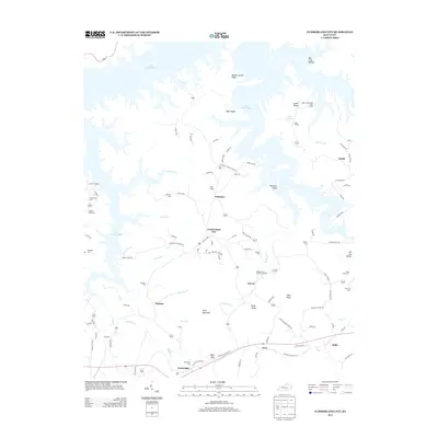
2013 Map of Cumberland City
USGS Topo · Published 2013About this map
Lake Cumberland dominates the northern reaches of this landscape, its dendritic fingers reaching deep into the drainage basins of Brown Cr and Laurel Cr. This watery geography dictates the settlement patterns of the early 21st century, with the unincorporated communities of Watauga, Cumberland City, and Narvel occupying the higher ground between the lake and the southern ridges. To the south, the terrain rises toward Short Mountain and Cedar Knob, where the land usage shifts toward more dispersed rural dwellings and agriculture, indicated by the presence of an Amish community near Marlow. The map is a significant resource for genealogists, documenting numerous small burial sites such as Hopkins Cem and Walnut Grove Church Cemetery, alongside family-named landmarks like McWhorter Cem and the Jim City Hollow area near Alpha.
Find a feature on this map
98 named features on this map. Tap any name to fly to it.
Don’t see what you’re looking for? This feature index may not catch every label — zoom into the map to look around manually.
Map Details
Editions of this 2013 Cumberland City Map
This is the sole edition of this map. No revisions or reprints were ever made.
Other maps of this area

1911 · Monticello
USGS Topo · 1:62,500

1914 · Monticello
USGS Topo · 1:62,500

1929 · Byrdstown
USGS Topo · 1:62,500

1934 · Pall Mall
USGS Topo · 1:62,500

1953 · Parnell
USGS Topo · 1:24,000

1953 · Wolf Creek Dam
USGS Topo · 1:24,000

1953 · Creelsboro
USGS Topo · 1:24,000

1953 · Jamestown
USGS Topo · 1:24,000

1954 · Jabez
USGS Topo · 1:24,000

1954 · Cumberland City
USGS Topo · 1:24,000