Old Maps of Corbin, Kentucky for Academic Research
Study the evolution of Corbin with 20 high-resolution historic maps. Whether you're teaching, researching, or modeling changes in land use, these maps provide essential visual documentation of urban, environmental, and geographic change.
- Analyze long-term change: Track patterns in development, transportation, and natural features.
- Ideal for environmental or urban studies: Support academic projects with primary historical map data.
- Use in the classroom or lab: Educators and researchers rely on these maps to bring historical context to life.
These maps are a powerful tool for teaching, research, and visualizing how Corbin has changed over the decades.
Corbin, KY maps
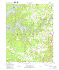
(20)- 1890 Map of Williamsburg
 1890 Williamsburg1890 Print · USGSThe Kentucky and Tennessee borderlands come alive in the late nineteenth century as the coal industry and railroads expand. Genealogists can trace family roots in Williamsburgh or locate early industrial sites like Beaver Mines and Steels Mill.2 unique versions available
 - 1894 Map of Williamsburg
 1894 Williamsburg1894 Print · USGSThe Cumberland River valley and the Kentucky-Tennessee borderlands are captured here during the late nineteenth-century coal and rail expansion. Researchers can trace early industrial sites like Beaver Mines and Kensee Coal Mine or locate family roots in Whitley and Chitwood.5 unique versions available
 - 1952 Map of Corbin, 1953 Print
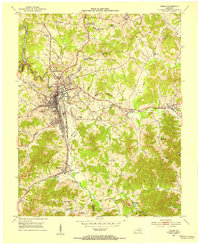 1952 Corbin1953 Print · USGSCorbin and its surrounding coal-country settlements are captured here in the early fifties, showing the vital Louisville and Nashville rail corridor. Researchers can trace family sites at Resthaven Cem or locate community centers like Bacon Creek Sch and Harts Chapel.
 - 1952 Map of Vox, 1953 Print
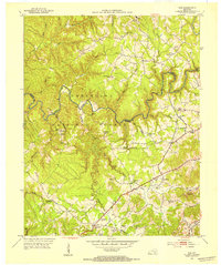 1952 Vox1953 Print · USGSWhitley and Laurel counties appear here in the early fifties, showing a rugged landscape centered on the Laurel River. Genealogists can locate family-named sites like Steele Chapel, Barton Chapel, and the McFarland Cem tucked away in the hollows.2 unique versions available
 - 1956 Map of Corbin, 1966 Print
 1956 Corbin1966 Print · USGSThe Kentucky and Tennessee borderlands are captured here in the mid-fifties, showing the region's shift toward modern interstate travel and reservoir development. Genealogists and historians can trace old community lines near Albany and Monticello or locate early rail junctions along the Southern and Tennessee Central lines.3 unique versions available
 - 1958 Map of Corbin
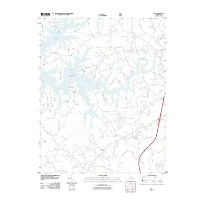
 1958 Corbin1958 Print · USGSThe Upper Cumberland borderlands appear in the late 1950s as massive reservoirs and early atomic-era growth reshape the region. Trace family roots and vanished landmarks near Lake Cumberland, Oak Ridge, and the Cumberland National Forest.
 - 1961 Map of Corbin, 1963 Print
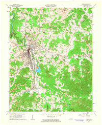 1961 Corbin1963 Print · USGSCorbin and its surrounding coal-country settlements are shown here during a period of heavy industrial activity in the early sixties. Researchers can trace the Louisville and Nashville rail lines to old station sites like Siler Sta, or locate family landmarks such as Resthaven Cem and Wilton Lake.
 - 1970 Map of Corbin, 1972 Print
 1970 Corbin1972 Print · USGSCorbin at the start of the 1970s shows a thriving rail and coal-country hub at the intersection of three counties. Researchers can trace the Louisville and Nashville Railroad through town and find rural sites like Wilton and St Camillus Academy.3 unique versions available
 - 1979 Map of Vox
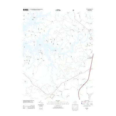
 1979 Vox1979 Print · USGSThe Daniel Boone National Forest and the winding Laurel River Lake define this Whitley County landscape in the late seventies. Family researchers can trace local roots at Corinth Cem, Steele Chapel, and the Corbin Speedway.2 unique versions available
 - 1981 Map of Corbin, 1984 Print
 1981 Corbin1984 Print · USGSThe Kentucky and Tennessee borderlands in the early eighties were characterized by coal towns and deep mountain ridges. Trace family history or rail routes through Stearns, Williamsburg, and the mining settlements near Jellico Mountain along the L & N RR.
 - 2010 Map of Corbin, 2010 Print
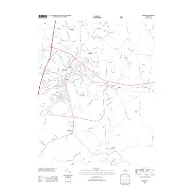
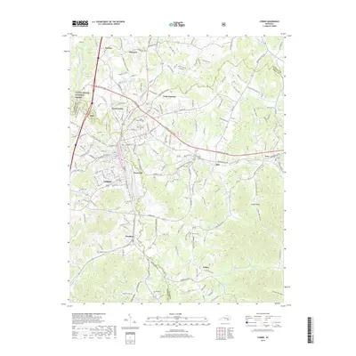
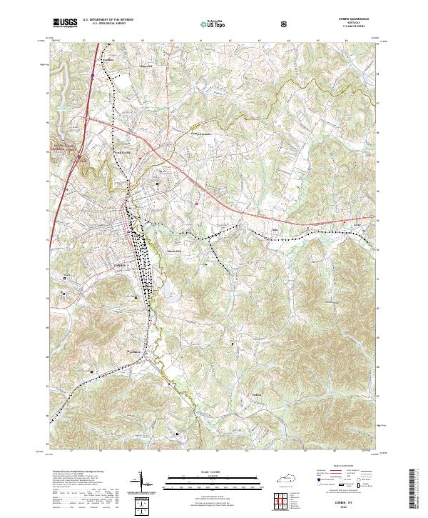
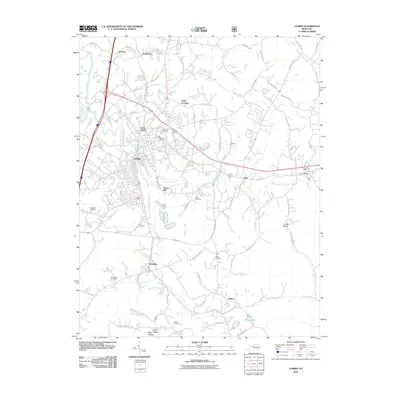 2010 Corbin2010 Print · USGSCovers Corbin, including Siler, North Corbin, and other nearby areas
 - 2011 Map of Vox, 2011 Print
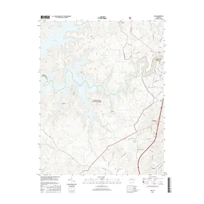
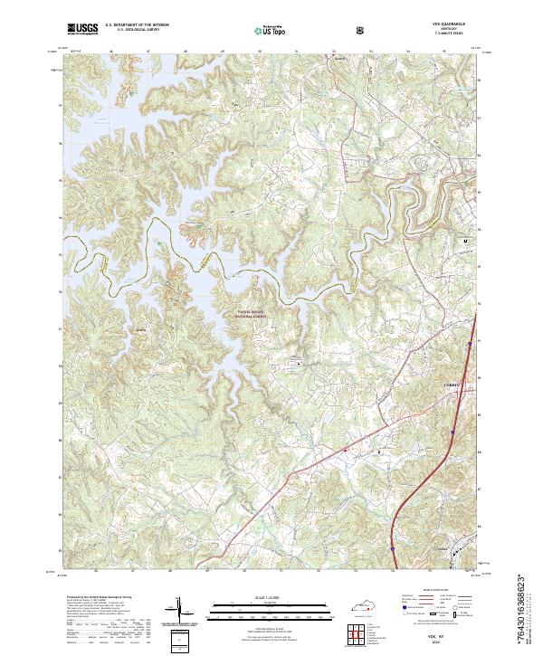
 2011 Vox2011 Print · USGSCovers Corbin, including Grove, Vox, and other nearby areas
 - 2013 Map of Vox, 2013 Print
 2013 Vox2013 Print · USGSCovers Corbin, including Grove, Vox, and other nearby areas
 - 2013 Map of Corbin, 2013 Print
 2013 Corbin2013 Print · USGSCovers Corbin, including Siler, North Corbin, and other nearby areas
 - 2016 Map of Vox, 2016 Print
 2016 Vox2016 Print · USGSCovers Corbin, including Grove, Vox, and other nearby areas
 - 2016 Map of Corbin, 2016 Print
 2016 Corbin2016 Print · USGSCovers Corbin, including Siler, North Corbin, and other nearby areas
 - 2019 Map of Vox, 2019 Print
 2019 Vox2019 Print · USGSCovers Corbin, including Grove, Vox, and other nearby areas
 - 2019 Map of Corbin, 2019 Print
 2019 Corbin2019 Print · USGSCovers Corbin, including Siler, North Corbin, and other nearby areas
 - 2022 Map of Corbin, 2022 Print
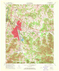
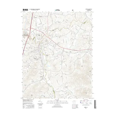
 2022 Corbin2022 Print · USGSCorbin and the surrounding tri-county area are shown in this contemporary study of Whitley and Knox counties. Genealogists can locate several local burial sites like Rest Haven Cem and Harts Cem alongside landmarks like Corn Creek Church.
 - 2022 Map of Vox, 2022 Print
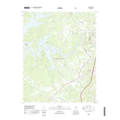
 2022 Vox2022 Print · USGSThe western outskirts of Corbin and the forested ridges of Whitley County come into focus in the early 2020s. Genealogists and local historians can locate rural landmarks such as Chestnut Grove Cem and the small settlements of Vox and Keavy.
End of results
Showing maps 1-20 of 20
Top cities near Corbin
Frequently asked questions
- What are the different types of historical maps available for Corbin?
- What is the oldest map of Corbin?
- Where can I purchase historical maps of Corbin for my home or office?
- Where can I download high-res historical maps of Corbin?
- Are there historical topographic maps available for Corbin?
- Is there historical aerial imagery available for Corbin?
- Where are historical maps of Corbin sourced from?