Old Maps of Sandy Hook, Kentucky for Academic Research
Study the evolution of Sandy Hook with 17 high-resolution historic maps. Whether you're teaching, researching, or modeling changes in land use, these maps provide essential visual documentation of urban, environmental, and geographic change.
- Analyze long-term change: Track patterns in development, transportation, and natural features.
- Ideal for environmental or urban studies: Support academic projects with primary historical map data.
- Use in the classroom or lab: Educators and researchers rely on these maps to bring historical context to life.
These maps are a powerful tool for teaching, research, and visualizing how Sandy Hook has changed over the decades.
Sandy Hook, KY maps
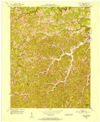
(17)- 1950 Map of Isonville, 1952 Print
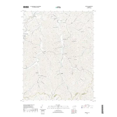
 1950 Isonville1952 Print · USGSMid-century Elliott County is mapped here during a period of active rural life and early oil exploration. Researchers can trace ancestral locations through numerous schools like Fairview Sch and landmarks including Peters Hill Lookout Tower and Isonville.
 - 1950 Map of Sandy Hook, 1952 Print
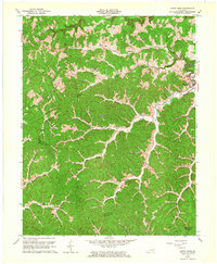
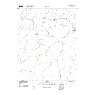
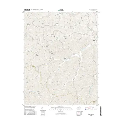
 1950 Sandy Hook1952 Print · USGSThe hills of Elliott County were home to a dense network of valley settlements and country schools in the early fifties. Genealogists can trace family-named landmarks and rural hubs like Sandy Hook, Redwine, and Fannin Sch.
 - 1957 Map of Huntington, 1966 Print
 1957 Huntington1966 Print · USGSThe industrial heart of the Ohio River valley is captured here in the mid-sixties, showing the growth of Huntington and Ashland. Researchers can trace the extensive rail networks of the Chesapeake and Ohio RR and locate sites like the Chief Cornstalk Hunting Ground.3 unique versions available
 - 1960 Map of Huntington
 1960 Huntington1960 Print · USGSThe tri-state river valley thrived in the late fifties as a hub of heavy industry and Appalachian rail transit. Genealogists and historians can trace the connection between river towns like Ashland and Portsmouth or locate family homesteads near Coleman Ridge.
 - 1962 Map of Sandy Hook, 1964 Print
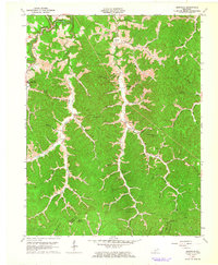
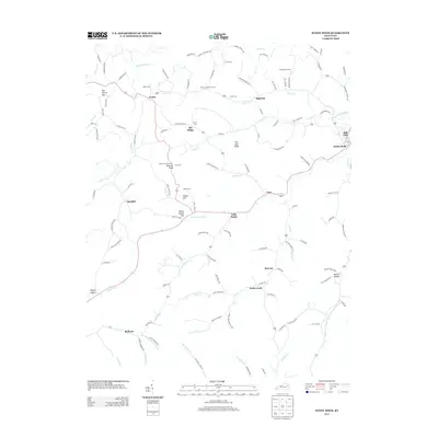
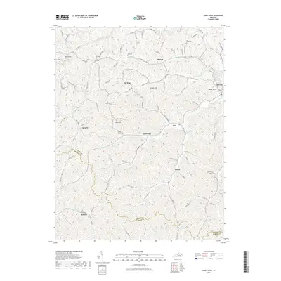
 1962 Sandy Hook1964 Print · USGSSandy Hook and the surrounding hollows of Elliott County are captured here in the early sixties. Genealogists and historians can trace family-named locations such as Neal Howard Creek and find rural landmarks like Carter Sch or Bell City.4 unique versions available
 - 1962 Map of Isonville, 1964 Print
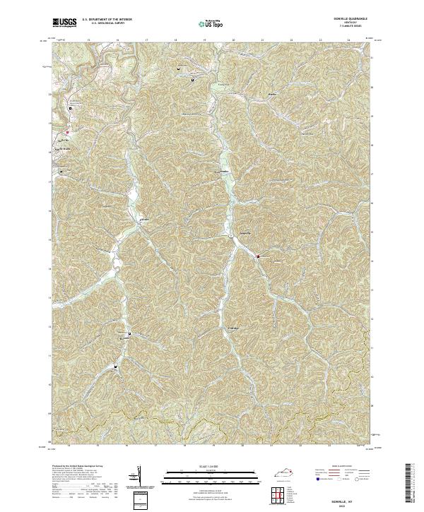
 1962 Isonville1964 Print · USGSThe hill country of Elliott County appears here in the early sixties, showing a landscape defined by deep hollows and creek-bed settlements. Genealogists and researchers can trace family landmarks like Fraley Chapel, Peters Hill, and the old Roscoe Sch.3 unique versions available
 - 1982 Map of Morehead, 1983 Print
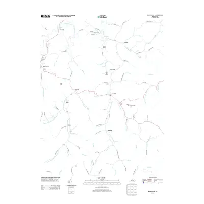
 1982 Morehead1983 Print · USGSThe foothills of northeastern Kentucky come alive in the early eighties, showcasing a landscape defined by timber, limestone caves, and major reservoirs. Local researchers can trace the development of Morehead State University or locate old crossings at Plummers Mill and Salt Lick.
 - 2010 Map of Isonville, 2010 Print
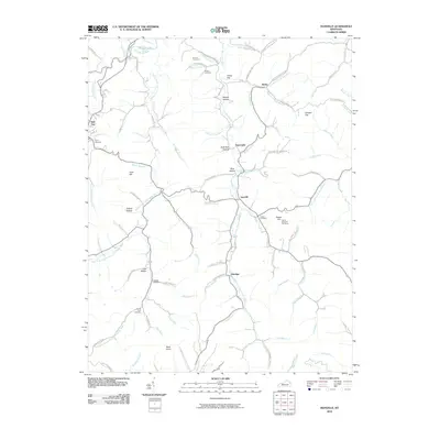 2010 Isonville2010 Print · USGSCovers Sandy Hook, including Eldridge, Isonville, and other nearby areas
 - 2010 Map of Sandy Hook, 2010 Print
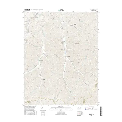
 2010 Sandy Hook2010 Print · USGSCovers Sandy Hook, including Bigstone, Redwine, and other nearby areas
 - 2013 Map of Isonville, 2013 Print
 2013 Isonville2013 Print · USGSCovers Sandy Hook, including Eldridge, Isonville, and other nearby areas
 - 2013 Map of Sandy Hook, 2013 Print
 2013 Sandy Hook2013 Print · USGSCovers Sandy Hook, including Bigstone, Redwine, and other nearby areas
 - 2016 Map of Isonville, 2016 Print
 2016 Isonville2016 Print · USGSCovers Sandy Hook, including Eldridge, Isonville, and other nearby areas
 - 2016 Map of Sandy Hook, 2016 Print
 2016 Sandy Hook2016 Print · USGSCovers Sandy Hook, including Bigstone, Redwine, and other nearby areas
 - 2019 Map of Isonville, 2019 Print
 2019 Isonville2019 Print · USGSCovers Sandy Hook, including Eldridge, Isonville, and other nearby areas
 - 2019 Map of Sandy Hook, 2019 Print
 2019 Sandy Hook2019 Print · USGSCovers Sandy Hook, including Bigstone, Redwine, and other nearby areas
 - 2022 Map of Isonville, 2022 Print
 2022 Isonville2022 Print · USGSElliott County in the early twenty-first century remains a landscape of tightly wound hollows and family-held ridges. Genealogists and local historians can trace ancestral sites across Sandy Hook and Isonville, identifying landmarks like the Elliott County Courthouse and numerous burial grounds including Watson Cem and Burton Cem.
 - 2022 Map of Sandy Hook, 2022 Print
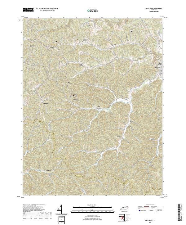 2022 Sandy Hook2022 Print · USGSSandy Hook and the surrounding Elliott County uplands are captured here in the early 2020s, showing a landscape defined by steep ridges and family legacies. Researchers can trace ancestral sites like the Whitt Cemetery and Adkins Cem or locate the Elliott County Courthouse at the heart of the region.
End of results
Showing maps 1-17 of 17
Top cities near Sandy Hook
Top neighborhoods of Sandy Hook
Frequently asked questions
- What are the different types of historical maps available for Sandy Hook?
- What is the oldest map of Sandy Hook?
- Where can I purchase historical maps of Sandy Hook for my home or office?
- Where can I download high-res historical maps of Sandy Hook?
- Are there historical topographic maps available for Sandy Hook?
- Is there historical aerial imagery available for Sandy Hook?
- Where are historical maps of Sandy Hook sourced from?