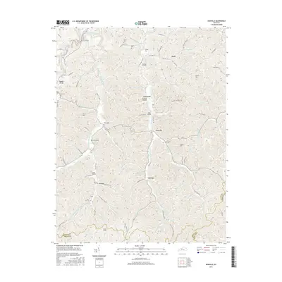
2016 Map of Isonville
USGS Topo · Published 2016About this map
Isonville and the surrounding hill country of Elliott County are defined by a complex drainage network feeding into the Little Sandy River. This 2016 survey documents the rural character of the region, where small settlements like Newcombe and Fannin are linked by winding routes such as State Hwy 706 and Newcombe Rd. The landscape is etched with numerous family-named hollows and flats, including Zach Rice Hollow, Patrick Hollow, and Fraley Flat, reflecting a long history of local land ownership and lineage. Genealogists will find significant detail in the placement of small burial grounds scattered across the terrain, such as the Watson Cem, Arthur Bays Cem, and Gilliam Cem. The map also captures the confluence of several key waterways, notably where the Middle Fork Little Sandy River and Newcombe Creek meet their respective branches, illustrating the natural boundaries that have historically guided settlement patterns in this part of Kentucky.
Find a feature on this map
87 named features on this map. Tap any name to fly to it.
Don’t see what you’re looking for? This feature index may not catch every label — zoom into the map to look around manually.
Map Details
Editions of this 2016 Isonville Map
This is the sole edition of this map. No revisions or reprints were ever made.
Other maps of this area

1886 · Prestonsburg
USGS Topo · 1:125,000

1889 · Salyersville
USGS Topo · 1:125,000

1891 · Salyersville
USGS Topo · 1:125,000

1892 · Prestonsburg
USGS Topo · 1:125,000

1899 · Salyersville
USGS Topo · 1:125,000

1903 · Kenova
USGS Topo · 1:125,000

1904 · Kenova
USGS Topo · 1:125,000

1915 · Paintsville
USGS Topo · 1:48,000

1917 · Paintsville
USGS Topo · 1:62,500

1950 · Bruin
USGS Topo · 1:24,000