2010s Maps of Fayette County, Kentucky
Explore 52 historic maps of Fayette County from the 2010s. These maps offer a rare glimpse into what life looked like during the 2010s — showing old roads, neighborhoods, homes, and landmarks that have changed or disappeared over time.
Whether you're researching your family's past, planning a metal detecting trip, or studying how Fayette County's landscape evolved across the 2010s, these high-resolution maps are a powerful tool for exploring the history of this region.
- Focus on a specific era: All maps on this page are from the 2010s, giving you a focused view of this time period.
- See what’s changed: Compare century-old streets, trails, and buildings to today's modern landscape using overlays and satellite layers.
- Research with precision: Use these maps for genealogy, historical research, land use analysis, or educational projects.
- View, download, or print: Maps are fully viewable online in high resolution, and can be downloaded or printed for your own records.
Start exploring Fayette County's history through authentic maps from the 2010s. This is your window into the past.
Fayette County, KY maps
(52)- 2010 Map of Ford, 2010 Print
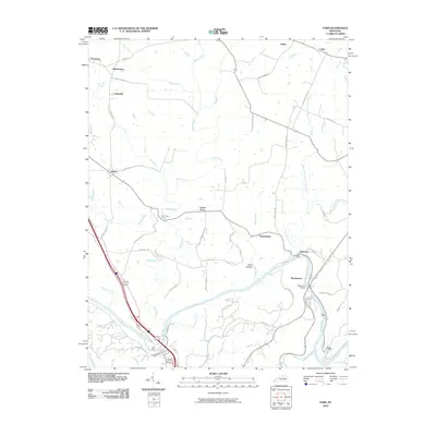 2010 Ford2010 Print · USGSThe Kentucky River corridor and its historic crossings are captured here in the early 21st century. Researchers can trace local lineage through small settlements like Boonesboro, Lisletown, and Ford, or locate old homesteads along GRIMES MILL RD.
 - 2010 Map of Valley View, 2010 Print
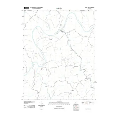 2010 Valley View2010 Print · USGSThe Kentucky River valley in the early twenty-first century remains a landscape of high ridges and winding watercourses. Researchers can trace rural settlement patterns and local history at Valley View, Freindship Cemetery, and along the historic Carvers Ferry Rd.
 - 2010 Map of Clintonville, 2010 Print
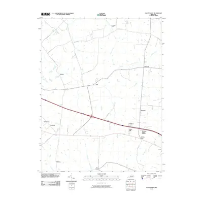 2010 Clintonville2010 Print · USGSThe rural landscape northeast of Lexington is shown in the early twenty-first century as historic farmsteads met suburban growth. Trace the development of local communities like Wyandotte and Yorktown alongside landmarks such as Air Castle Airport.
 - 2010 Map of Centerville, 2010 Print
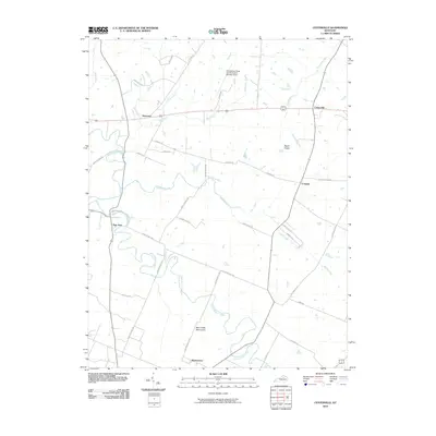 2010 Centerville2010 Print · USGSThe Bluegrass region in the early twenty-first century is captured here through its network of historic pikes and small crossroads. Researchers can locate landmarks like the Man-O-War Monument and trace the paths of Newtown and New Zion.
 - 2010 Map of Richmond North, 2010 Print
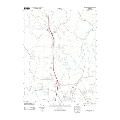 2010 Richmond North2010 Print · USGSMadison and Fayette counties north of Richmond show a landscape where historic pioneer paths meet modern growth. Genealogists and historians can trace routes like the Old Daniel Boone Rd and Old Wilderness Trl near settlements at White Hall and Redhouse.
 - 2010 Map of Nicholasville, 2010 Print
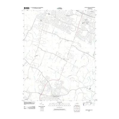 2010 Nicholasville2010 Print · USGSThe suburbs of Lexington meet the rural outskirts of Jessamine County in this early 21st-century portrait. Researchers can trace local development from the streets of Nicholasville to outlying communities such as Union Mills and Catnip.
 - 2010 Map of Coletown, 2010 Print
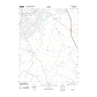 2010 Coletown2010 Print · USGSSoutheastern Fayette County at the start of the 2010s shows the suburban edge of Lexington meeting traditional Bluegrass farm country. Trace the development of Southeastern Hills and Jonestown or locate the rural crossroads of Coletown and East Hickman.
 - 2010 Map of Lexington East, 2010 Print
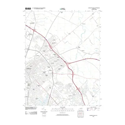 2010 Lexington East2010 Print · USGSThe eastern half of Lexington and the surrounding Fayette County bluegrass are shown in detail during a period of steady suburban expansion. Researchers can trace historic estate lines and established neighborhoods like Ashland Park alongside newer developments such as Thoroughbred Acres and Hi-Acres.
 - 2010 Map of Paris West, 2010 Print
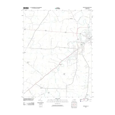 2010 Paris West2010 Print · USGSThe rural outskirts of Paris and the surrounding Kentucky countryside are captured in this 2010 survey. Genealogists and local historians can trace family ties at the Mount Olive Cemetery or Fisher Cemetery, and locate small settlements like Jimtown and Monterey.
 - 2010 Map of Keene, 2010 Print
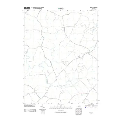 2010 Keene2010 Print · USGSNear Lexington at the decade's turn, this rural landscape retains its deep agricultural character and historic road network. Researchers can trace family-named lanes and old mill routes near Keene, Dixon Town, and the Ebenezer Cemetery.
 - 2010 Map of Georgetown, 2010 Print
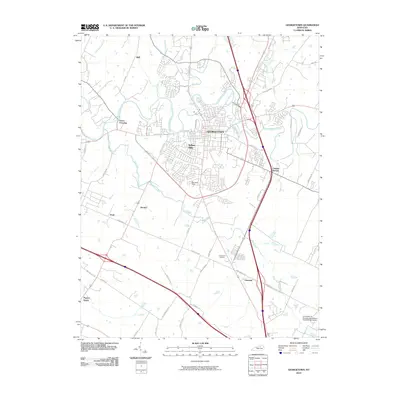 2010 Georgetown2010 Print · USGSGeorgetown and the surrounding horse country are captured here in the early twenty-first century as suburban growth meets traditional agriculture. Genealogists can locate family landmarks in Paynes Depot and Donerail or trace early roads like Ironworks Pike.
 - 2010 Map of Versailles, 2010 Print
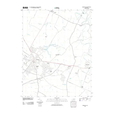 2010 Versailles2010 Print · USGSThe Bluegrass region's distinct settlement patterns are on full display here as they appeared in the early 2000s. Researchers can trace family sites near Zion Hill Cemetery or explore the outskirts of town through the historic corridors of Hunter Town and Firmantown.
 - 2010 Map of Lexington West, 2010 Print
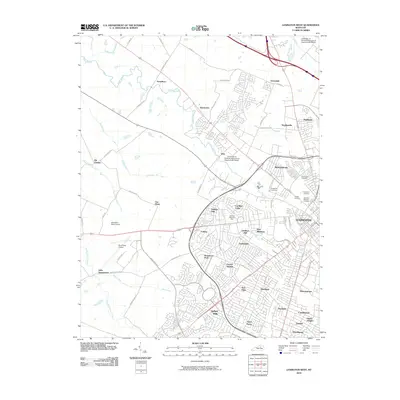 2010 Lexington West2010 Print · USGSWestern Lexington and the surrounding Fayette County horse country are shown in high detail during the early 2000s. Researchers can trace historic cemeteries like Lexington National Cemetery and explore the bounds of Keeneland Race Course and Blue Grass Airport.
 - 2013 Map of Paris West, 2013 Print
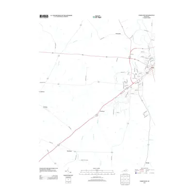 2013 Paris West2013 Print · USGSThe western outskirts of Paris and the surrounding Bluegrass countryside are shown here as they appeared in the early 21st century. Researchers can locate family landmarks like Fisher Cemetery and trace the rural reaches of Houston Creek and Jimtown.
 - 2013 Map of Versailles, 2013 Print
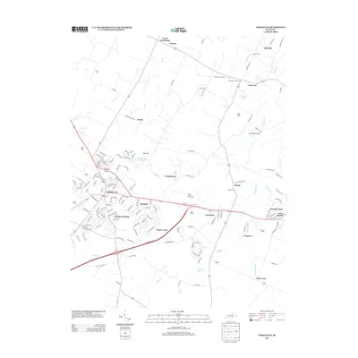 2013 Versailles2013 Print · USGSThe heart of the Bluegrass region is documented here as it appeared in the early 2010s, capturing the balance between thoroughbred farm country and residential growth. Genealogists and researchers can trace family landmarks at Three Chimneys Farm and locate older burials at Pisgah Cem or Steele Cem.
 - 2013 Map of Lexington East, 2013 Print
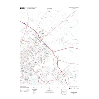 2013 Lexington East2013 Print · USGSThe eastern reaches of Lexington are captured here in the early twenty-first century, showing the established neighborhoods and horse-country estates. Researchers can trace local landmarks like Howards Grove Cemetery or the historic Bryan Station area.
 - 2013 Map of Centerville, 2013 Print
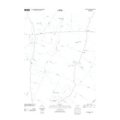 2013 Centerville2013 Print · USGSThe rural Kentucky Bluegrass region near Lexington is shown here in the early 2010s, where traditional crossroads settlements meet world-class equestrian heritage. Researchers can trace local lineage through historic communities like New Zion and Loradale or locate the Man-O-War Monument.
 - 2013 Map of Georgetown, 2013 Print
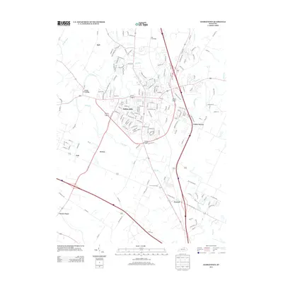 2013 Georgetown2013 Print · USGSThe Bluegrass region's transition from rural crossroads to suburban neighborhoods is captured here in the early twenty-first century. Researchers can trace historical sites like Royal Springs and Paynes Depot alongside newer developments such as Indian Hills.
 - 2013 Map of Lexington West, 2013 Print
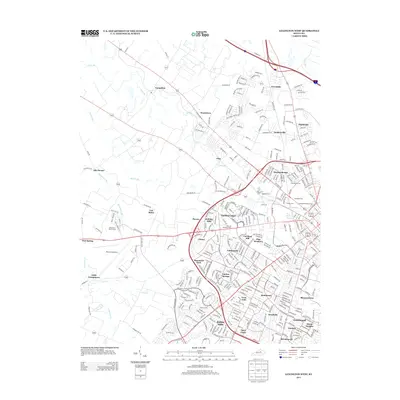 2013 Lexington West2013 Print · USGSLexington’s western suburbs and the iconic horse country meet in this recent survey of Fayette County. Genealogists and local historians can trace family roots through Lexington National Cem and Cove Haven Cem or locate early settlements like Yarnallton and Bracktown.
 - 2013 Map of Clintonville, 2013 Print
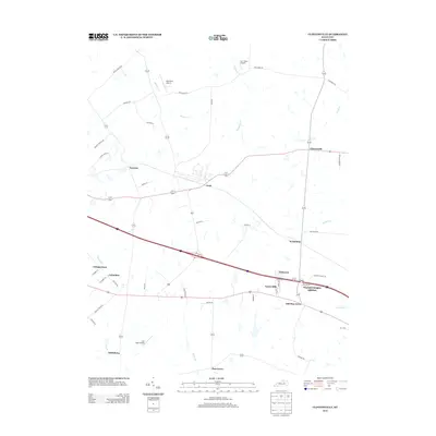 2013 Clintonville2013 Print · USGSThe Bluegrass region east of Lexington is captured here during a time of residential growth and aviation development. Genealogists can trace family footprints through established hamlets like Avon, Clintonville, and Pine Grove, or locate private strips like Wild Blue Airport.
 - 2013 Map of Nicholasville, 2013 Print
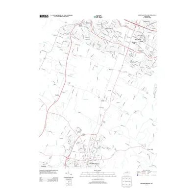 2013 Nicholasville2013 Print · USGSNicholasville and the southern Lexington suburbs appear in this modern survey during a period of significant residential growth. Genealogists and local historians can trace family-named landmarks like Cogars Spring and old crossroads near Union Mills or Catnip Hill.
 - 2013 Map of Richmond North, 2013 Print
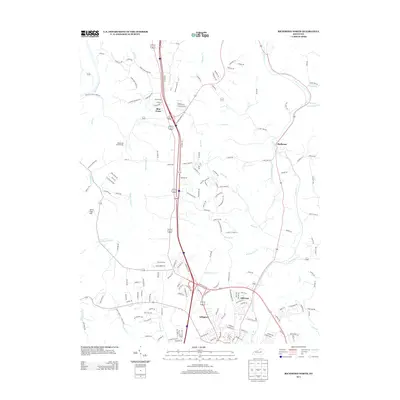 2013 Richmond North2013 Print · USGSMadison County at the start of the 2010s shows a landscape of modern residential growth alongside historic landmarks like the White Hall State Shrine. Researchers can trace old watercourses like Irvine Lick and locate settlements such as Redhouse and Blue Grass.
 - 2013 Map of Valley View, 2013 Print
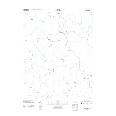 2013 Valley View2013 Print · USGSThe Kentucky River corridor south of Lexington comes into focus here during the early twenty-first century. Genealogists and local historians can trace the paths between rural hamlets like Spears and Baldwin or locate the historic Valley View Ferry.
 - 2013 Map of Keene, 2013 Print
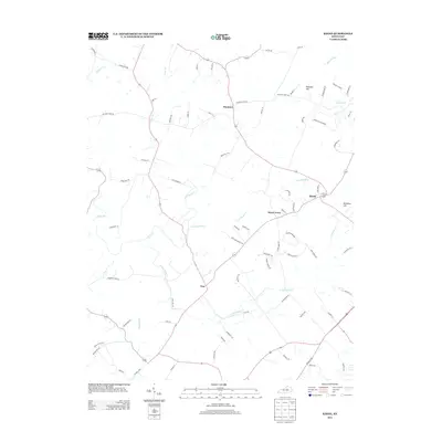 2013 Keene2013 Print · USGSJessamine and Fayette counties appear at a crossroads of rural tradition and modern growth in this early twenty-first century survey. Researchers can trace the lineage of local settlements from Keene and Dixon Town to the waters of Cave Spring Cr and Clear Cr.
 - 2013 Map of Coletown, 2013 Print
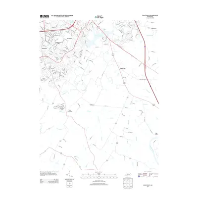 2013 Coletown2013 Print · USGSSoutheast Lexington meets the Kentucky Bluegrass in the early 2000s as suburban developments edge into rural landscapes. Trace local history through neighborhoods like Southeastern Hills or follow the creeks from East Hickman to the Kentucky River.
Showing maps 1-25 of 52
Top cities of Fayette County
Frequently asked questions
- What are the different types of historical maps available for Fayette County?
- What is the oldest map of Fayette County?
- Where can I purchase historical maps of Fayette County for my home or office?
- Where can I download high-res historical maps of Fayette County?
- Are there historical topographic maps available for Fayette County?
- Is there historical aerial imagery available for Fayette County?
- Where are historical maps of Fayette County sourced from?