2010s Maps of Fulton County, Kentucky
Explore 48 historic maps of Fulton County from the 2010s. These maps offer a rare glimpse into what life looked like during the 2010s — showing old roads, neighborhoods, homes, and landmarks that have changed or disappeared over time.
Whether you're researching your family's past, planning a metal detecting trip, or studying how Fulton County's landscape evolved across the 2010s, these high-resolution maps are a powerful tool for exploring the history of this region.
- Focus on a specific era: All maps on this page are from the 2010s, giving you a focused view of this time period.
- See what’s changed: Compare century-old streets, trails, and buildings to today's modern landscape using overlays and satellite layers.
- Research with precision: Use these maps for genealogy, historical research, land use analysis, or educational projects.
- View, download, or print: Maps are fully viewable online in high resolution, and can be downloaded or printed for your own records.
Start exploring Fulton County's history through authentic maps from the 2010s. This is your window into the past.
Fulton County, KY maps
(48)- 2010 Map of Bayouville, 2010 Print
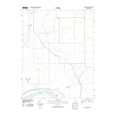 2010 Bayouville2010 Print · USGSMississippi County, Missouri, is captured at the turn of the century as a landscape of river landings and flood-control engineering. Traces of rural life are preserved at Pinhook, Sugar Tree Ridge, and the Barker Cemetery along the banks of James Bayou.
 - 2010 Map of Oakton, 2010 Print
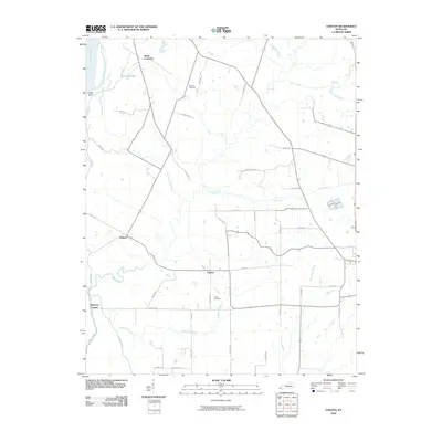 2010 Oakton2010 Print · USGSHickman County, Kentucky, near the banks of the Mississippi River, is shown here as it appeared in the early twenty-first century. Genealogists and local historians can trace family road names and locate rural burial sites such as Roberts Cemetery and Davis Cemetery near Oakton.
 - 2010 Map of New Madrid, 2010 Print
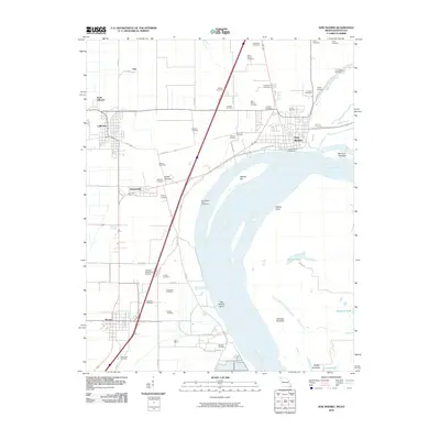 2010 New Madrid2010 Print · USGSNew Madrid and the legendary river bend are captured here in the early twenty-first century as the landscape balances river engineering with deep local roots. Genealogists can locate dozens of burial sites including Saint Marys Cemetery and A C LaForge Cemetery, while tracing the paths of Old Kingshighway and the banks of Saint Johns Bayou.
 - 2010 Map of Wolf Island, 2010 Print
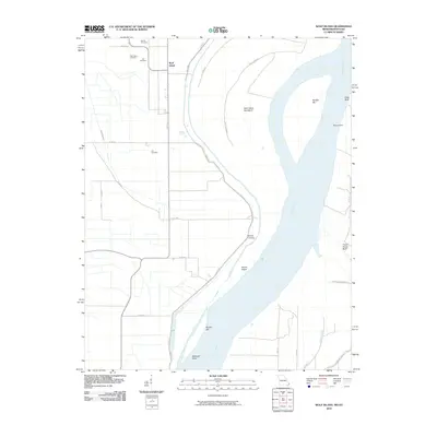 2010 Wolf Island2010 Print · USGSThe Missouri-Kentucky borderlands along the Mississippi River are captured here in the early twenty-first century. Genealogists and historians can locate numerous burial sites such as Ivie Cemetery and Lee Cemetery near the settlement of Wolf Island.
 - 2010 Map of Hubbard Lake, 2010 Print
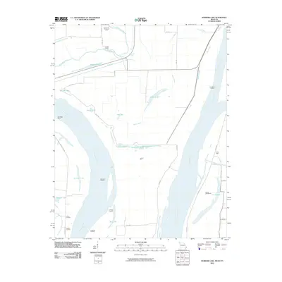 2010 Hubbard Lake2010 Print · USGSThe alluvial plains of Missouri and Kentucky are shown here in the early twenty-first century, centered on a complex of river landings and oxbow lakes. Trace family history and river commerce at Henderson Landing, Adams Cemetery, and the geographic curiosity of Kentucky Point.
 - 2010 Map of Water Valley, 2010 Print
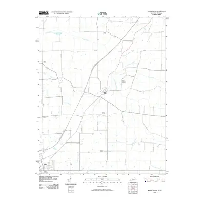 2010 Water Valley2010 Print · USGSWestern Kentucky and Tennessee farmland is documented here in the era following the development of the Purchase Pkwy. Genealogists can locate several family and community landmarks, such as Camp Beauregard Cemetery, Water Valley, and Stephens Lake.
 - 2010 Map of Crutchfield, 2010 Print
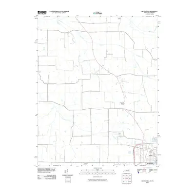 2010 Crutchfield2010 Print · USGSThe border communities of Fulton and South Fulton are shown in 2010, at a time when traditional agriculture and modern transport met. Researchers can trace family sites at Crossland Cemetery and Huddleston Cemetery or locate landmarks like Fulton Airport.
 - 2010 Map of Cayce, 2010 Print
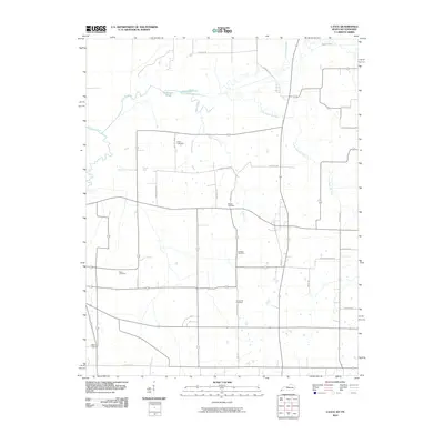 2010 Cayce2010 Print · USGSThe Kentucky-Tennessee borderlands come into focus in this 2010 survey of the rural landscape near Moscow. Researchers can trace family history through numerous burial sites including Roper Cemetery and Bacon Cemetery, or follow the winding path of Bayou de Chien.
 - 2010 Map of Tiptonville, 2010 Print
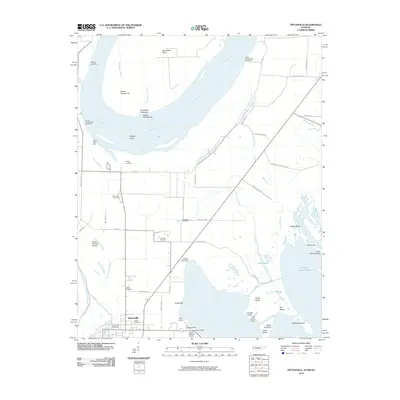 2010 Tiptonville2010 Print · USGSTiptonville and the banks of the Mississippi River are captured in this 2010 survey as the landscape transitions toward Reelfoot Lake. Genealogists can trace local roots through Citizen Cemetery, Parks Cemetery, and the Tiptonville Post Office while exploring historic river sites like Island Number Ten.
 - 2010 Map of Point Pleasant, 2010 Print
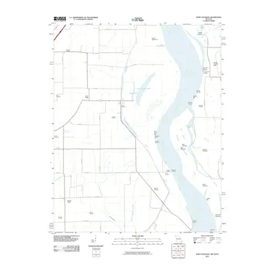 2010 Point Pleasant2010 Print · USGSThe Missouri Bootheel and the Mississippi River banks are captured here at the turn of the millennium. Genealogists can trace family heritage at Le Sieur Cemetery and Yount Cemetery, or locate old river access points like Batesell Landing and the Tiptonville Ferry.
 - 2010 Map of Bondurant, 2010 Print
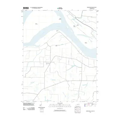 2010 Bondurant2010 Print · USGSNear the tri-state junction in the early twenty-first century, this landscape reveals the deep history of the river's shifting channels and early inhabitants. Researchers can locate the ancient Indian Mound or trace the geography of the Mississippi River through features like Island Number 7 and Sassafras Ridge.
 - 2010 Map of Hickman, 2010 Print
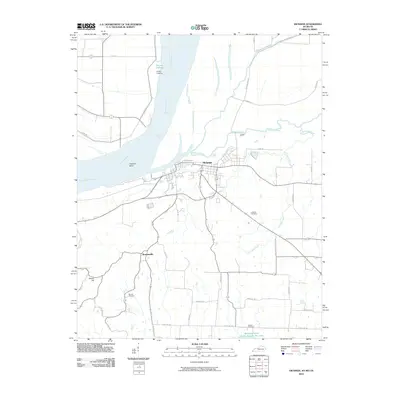 2010 Hickman2010 Print · USGSThe riverfront town of Hickman and the surrounding borderlands of the Mississippi are captured here in the early twenty-first century. Researchers can trace rural family roots at Barnett Cemetery or follow the old tracks of State Line Rd near Lester.
 - 2012 Map of Point Pleasant, 2012 Print
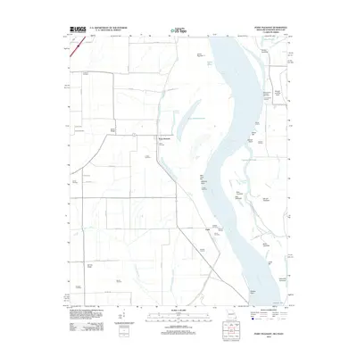 2012 Point Pleasant2012 Print · USGSThe Missouri bootheel and Mississippi River bottoms are shown in detail during the early 2010s, revealing a landscape of chutes, bars, and ridges. Genealogists can locate numerous local burial sites like Creviosur Cemetery and Girvin Cemetery or trace the riverbank at Point Pleasant.
 - 2012 Map of Bayouville, 2012 Print
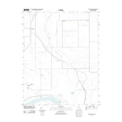 2012 Bayouville2012 Print · USGSThe Mississippi River floodplain comes into focus in this modern survey of the Missouri-Kentucky borderlands. Researchers can trace local lineage at Barker Cemetery or locate historic river access points like Dry Bayou Landing and Three States Landing.
 - 2012 Map of Wolf Island, 2012 Print
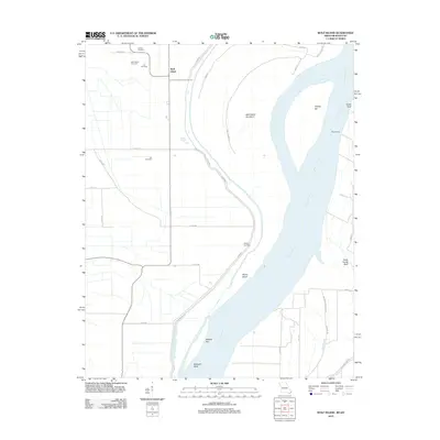 2012 Wolf Island2012 Print · USGSThe Missouri-Kentucky borderlands along the Mississippi River are captured here in the early twenty-first century. Genealogists can trace family roots at Wolf Island Cemetery or Lee Cemetery, while river historians can locate Medley Landing and Beckwith Bend.
 - 2012 Map of New Madrid, 2012 Print
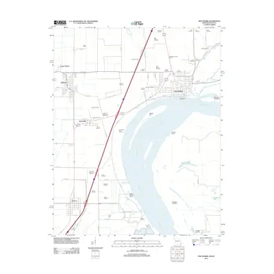 2012 New Madrid2012 Print · USGSSoutheast Missouri's river country is documented here in the early twenty-first century, centered on the historic bend in the river. Genealogists can locate dozens of burial sites like Wright Cemetery and Hatcher Cemetery or trace the layout of Marston and Howardville.
 - 2012 Map of Hubbard Lake, 2012 Print
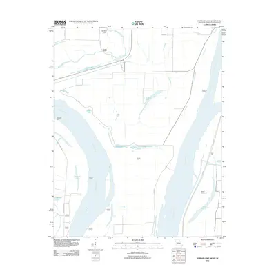 2012 Hubbard Lake2012 Print · USGSThe Missouri-Kentucky borderlands along the Mississippi River are shown here in detail during the early 21st century. Genealogists and river historians can trace family-named sites like Whitson Cemetery and the landings at Morrison Landing and La Forge Landing.
 - 2013 Map of Crutchfield, 2013 Print
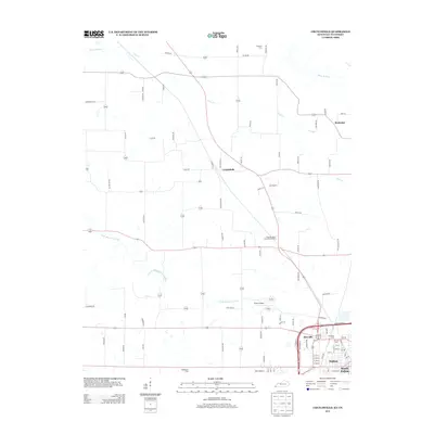 2013 Crutchfield2013 Print · USGSFulton and the surrounding Kentucky-Tennessee borderlands appear here in the early twenty-first century, showing a mix of established rail-town growth and rural farmstead heritage. Researchers can trace family sites at Crossland Cem or locate the small settlements of Beelerton and Crutchfield along the banks of Cane Cr.
 - 2013 Map of Water Valley, 2013 Print
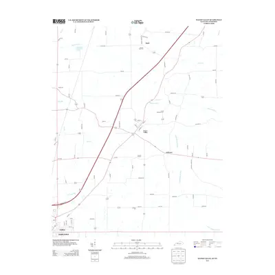 2013 Water Valley2013 Print · USGSWestern Kentucky's agricultural heartland is documented here in the early twenty-first century as modern highways began to bypass historic hamlets. Researchers can trace ancestral sites at Camp Beauregard Cem, the small community of Feliciana, and the banks of the Bayou de Chien.
 - 2013 Map of Cayce, 2013 Print
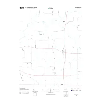 2013 Cayce2013 Print · USGSWestern Kentucky’s rural landscape is captured here in the early twenty-first century as it borders the Tennessee line. Genealogists can locate family landmarks like Alexander Cem and Johnson Cem or trace the winding waters of Bayou de Chien.
 - 2013 Map of Hickman, 2013 Print
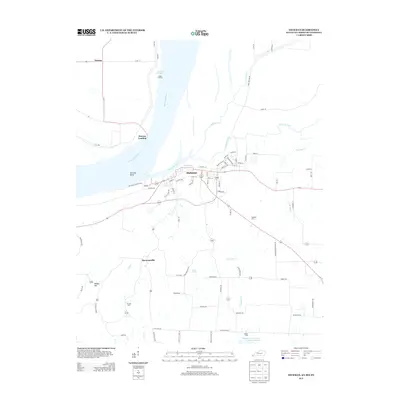 2013 Hickman2013 Print · USGSThe riverfront and agricultural corridors of Fulton County are detailed here in the early twenty-first century. Researchers can trace the legacy of river transit through Old Hickman Ferry Xing or locate family roots at Hubbard Cem and Barnett Cem.
 - 2013 Map of Bondurant, 2013 Print
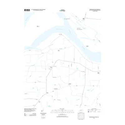 2013 Bondurant2013 Print · USGSThe tri-state border region of the Mississippi River floodplain is captured here in the early twenty-first century. Genealogists and local historians can trace family-named sites and rural settlements like Sassafras Ridge, Bondurant, and the ancient Indian Mound.
 - 2013 Map of Oakton, 2013 Print
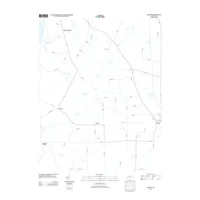 2013 Oakton2013 Print · USGSHickman County, Kentucky, remains a land of creek-fed farms and quiet crossroads in the early 21st century. Genealogists and local researchers can trace family lines through Roberts Cem, Davis Cem, and the historic settlement at Oakton.
 - 2013 Map of Tiptonville, 2013 Print
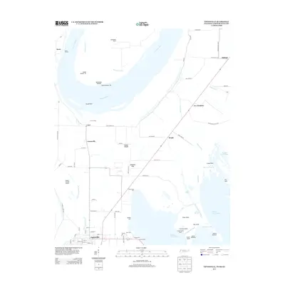 2013 Tiptonville2013 Print · USGSTiptonville and the river bottoms of Lake County come into focus during this early twenty-first-century survey. Genealogists and researchers can trace local landmarks like Cronanville, Phillippy, and the riverfront history at Bessie Landing.
 - 2015 Map of New Madrid, 2015 Print
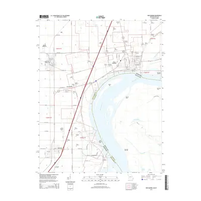 2015 New Madrid2015 Print · USGSThe Missouri Bootheel and Kentucky borderlands meet here at the great oxbow of the river during the mid-2010s. Researchers can trace family history through dozens of named burial sites like Evergreen Cemetery or locate the ancient Indian Mound near Howardville.
Showing maps 1-25 of 48
Top cities of Fulton County
Frequently asked questions
- What are the different types of historical maps available for Fulton County?
- What is the oldest map of Fulton County?
- Where can I purchase historical maps of Fulton County for my home or office?
- Where can I download high-res historical maps of Fulton County?
- Are there historical topographic maps available for Fulton County?
- Is there historical aerial imagery available for Fulton County?
- Where are historical maps of Fulton County sourced from?