Old Maps of Gallatin County, Kentucky
Explore 62 old maps of Gallatin County, spanning from 1943 to today. These high-resolution historic maps reveal how streets, neighborhoods, landmarks, and natural features evolved over time — perfect for genealogy, metal detecting, research, and local history exploration.
What you can do with these maps:
- See how Gallatin County changed over time: Compare historical maps to modern-day views to trace roads, homesites, rail lines & more.
- View detailed metadata: Each map includes creators, publishers, year, scale, and archive source.
- Overlay maps with satellite & LiDAR: Visualize the past alongside modern tools to explore terrain & human change.
- Trusted historical sources: Maps sourced from the USGS, Library of Congress, and other archives.
- Access maps your way: View online, download high-res files, or order prints for personal or research use.
Start exploring old maps of Gallatin County to uncover forgotten places, hidden landmarks, and the deep history beneath your feet.
Gallatin County, KY maps
(62)- 1943 Map of Florence
 1943 Florence1943 Print · USGSSwitzerland County's rugged riverfront is captured here in the early 1940s, showing the steep ridges and hollows overlooking the Ohio River. Genealogists can locate family landmarks like Bark Works Cem, the Warsaw Ferry crossing, and local schools such as Phillips Sch and West Union Sch.
 - 1943 Map of Vevay North
 1943 Vevay North1943 Print · USGSSoutheast Indiana during the early years of the war shows a landscape of ridge-top farms and river valley settlements. Genealogists can trace family footprints through numerous rural landmarks like Mt Sterling, Stow Cem, and Jacksonville Sch.2 unique versions available
 - 1943 Map of Patriot
 1943 Patriot1943 Print · USGSThe river town of Patriot and the winding Indiana shoreline appear here as they were in the early 1940s. Genealogists can trace family names through several rural landmarks, including Mc Nutt Cem, Wigal Cem, and Concord Ch.
 - 1943 Map of Vevay South
 1943 Vevay South1943 Print · USGSThe Indiana side of the Ohio River is captured in the early 1940s, showing the riverside town of Vevay and its surrounding hills. Genealogists can trace family landmarks like Potato Bug Hill, the Bridge Sch, and the County Infirmary.
 - 1950 Map of Glencoe, 1952 Print
 1950 Glencoe1952 Print · USGSThe rural borders of Gallatin, Owen, and Grant Counties come alive in the early fifties, centered on the railroad hub of Glencoe. Genealogists can trace family roots through numerous local sites like the I O O F Cem, Slab Lick Sch, and Pleasant Home Ch.2 unique versions available
 - 1950 Map of Verona, 1952 Print
 1950 Verona1952 Print · USGSNorthern Kentucky’s rolling hills come alive in this mid-century survey, showcasing the rural intersections where Boone, Gallatin, and Grant Counties meet. Genealogists can trace family names at St Patricks Cem or locate the old rail-stop at Zion Station.
 - 1951 Map of Florence, 1953 Print
 1951 Florence1953 Print · USGSThe Ohio River valley at mid-century reveals a landscape of ridge-top farms and riverfront commerce between Indiana and Kentucky. Researchers can trace historic ferry crossings at Florence, family burial sites like Gridley Cem, and early aviation at Warsaw Airfield.
 - 1951 Map of Sanders, 1953 Print
 1951 Sanders1953 Print · USGSNorthern Kentucky in the early fifties was defined by the steam and steel of the Louisville and Nashville railroad as it wound through the Eagle Creek valley. Genealogists can locate family landmarks like Furnish Cem, Drury Chapel, and the remote Park Ridge Sch.
 - 1951 Map of Patriot, 1953 Print
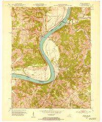 1951 Patriot1953 Print · USGSThe Indiana-Kentucky border along the Ohio River is captured here in the early fifties, showing a landscape of fertile river bottoms and upland farms. Genealogists can trace family roots at Patriot or locate rural landmarks like Searcy Crossroads, Concord Ch, and McNutt Cem.
 - 1952 Map of Vevay South, 1954 Print
 1952 Vevay South1954 Print · USGSThe Ohio River valley at the Indiana-Kentucky border was a landscape of riverfront hubs and isolated hill settlements in the early fifties. Genealogists and historians can trace family plots at O'Neal Cem or Stafford Cem and locate rural landmarks like Marvin Chapel and the Easterday settlement.2 unique versions available
 - 1956 Map of Louisville, 1971 Print
 1956 Louisville1971 Print · USGSThe Ohio River valley and the Kentucky Bluegrass are captured here during a period of rapid mid-century growth and industrial activity. Genealogists and historians can trace rail-centered towns and military land use at Fort Knox and the Jefferson Proving Ground.2 unique versions available
 - 1957 Map of Vevay North, 1958 Print
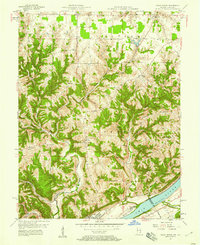 1957 Vevay North1958 Print · USGSThe Ohio River hills of Switzerland County come alive in the late 1950s, showing the intricate landscape of ridges and creek beds. Researchers can find old rural landmarks like Plum Creek Ch, the river town of Vevay, and the aptly named Popcorn Ridge.2 unique versions available
 - 1961 Map of Verona, 1962 Print
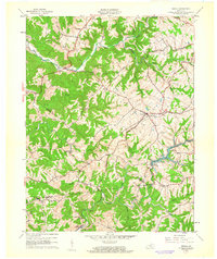 1961 Verona1962 Print · USGSNorthern Kentucky's ridge-and-hollow farm country is captured here in the early sixties as the railroad era still shaped local life. Genealogists and historians can trace family land via Powers Cem, St Patricks Cem, and the old rail siding at Zion Station.
 - 1961 Map of Patriot, 1963 Print
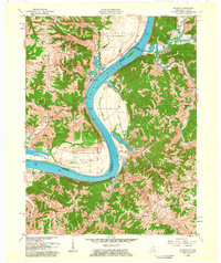 1961 Patriot1963 Print · USGSThe Ohio River oxbow between Indiana and Kentucky is documented here in the early 1960s, showing the fertile bottomlands and rural ridge settlements. Genealogists can locate numerous family burial sites such as Warner Cem and Conley Cem, or trace early congregations at Concord Ch.
 - 1964 Map of Louisville
 1964 Louisville1964 Print · USGSThe Ohio River valley and Kentucky Bluegrass are captured in the mid-1960s, showing a region balanced between industrial growth and its agrarian roots. Genealogists and historians can trace the development of county seats like Shelbyville and Paris, or locate established institutions such as Georgetown College and Bernheim Forest.
 - 1966 Map of Florence, 1968 Print
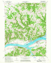 1966 Florence1968 Print · USGSThe Ohio River valley during the mid-sixties reveals a landscape defined by heavy river engineering and upland farming. Researchers can trace the infrastructure of the Markland Locks and Dam or locate family sites at Antioch Cem and Quercus Grove.4 unique versions available
 - 1967 Map of Vevay South, 1969 Print
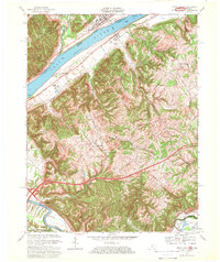 1967 Vevay South1969 Print · USGSThe Ohio River borderlands between Kentucky and Indiana are captured here in the late sixties, showcasing a landscape of riverside industry and steep ridges. Genealogists can trace family names and landmarks from the riverfronts of Vevay and Ghent to inland sites like Sharon Ch and Eagle Station.3 unique versions available
 - 1969 Map of Verona, 1971 Print
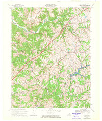 1969 Verona1971 Print · USGSNorthern Kentucky at the end of the 1960s shows a landscape of rail-connected hamlets and winding creek valleys. Trace local history through the Beaverlick Sch, the Louisville & Nashville RR corridor, and Bullock Pen Lake.
 - 1969 Map of Patriot, 1971 Print
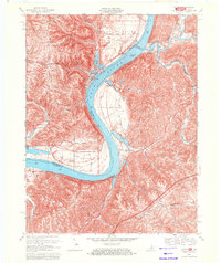 1969 Patriot1971 Print · USGSThe Ohio River dominates this 1960s borderland survey of Switzerland County, Indiana, and northern Kentucky. Genealogists can trace family roots through riverside bottoms and rural landmarks like Patriot, Warner Cem, and Sugar Creek.2 unique versions available
 - 1969 Map of Glencoe, 1971 Print
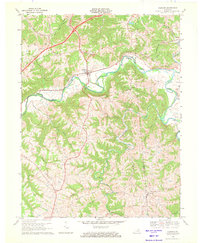 1969 Glencoe1971 Print · USGSThe Eagle Creek valley in the late sixties shows a landscape of deep meanders and rural Kentucky settlements along the Gallatin and Owen county lines. Genealogists and local historians can trace family-named landmarks like Oakland Ch, the small town of Glencoe, and the Louisville and Nashville rail corridor.
 - 1969 Map of Sanders, 1972 Print
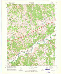 1969 Sanders1972 Print · USGSNorthern Kentucky at the end of the sixties is defined here by the winding Eagle Creek valley and the Louisville and Nashville railroad. Genealogists can trace family names and sites around Sanders, Sparta, and Bramlette Ch.2 unique versions available
 - 1971 Map of Vevay North, 1973 Print
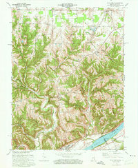 1971 Vevay North1973 Print · USGSThe river town of Vevay and its rural hinterlands are captured in the early 1970s, showcasing a landscape of ridge-top roads and winding creek valleys. Genealogists can trace family landmarks like Fredonia Ch, Popcorn Ridge, and the early layout of Mt Sterling.3 unique versions available
 - 1981 Map of Patriot, 1982 Print
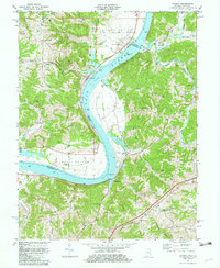 1981 Patriot1982 Print · USGSThe Ohio River valley in the early eighties serves as a backdrop for the riverside community of Patriot and the fertile farmsteads of the bottomlands. Researchers can trace ancestral roots through dozens of local sites like McNutt Cem, Concord Ch, and the outlying settlement at Searcy Crossroads.2 unique versions available
 - 1981 Map of Verona, 1982 Print
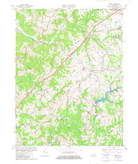 1981 Verona1982 Print · USGSBoone and Grant counties are captured in the early eighties, showing a landscape defined by small railroad hamlets and the expansion of the interstate. Genealogists can locate family-named sites like Carr Cem, St Patricks Cem, and the Chapman Sch.
 - 1986 Map of Madison
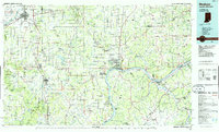 1986 Madison1986 Print · USGSSouthern Indiana and Northern Kentucky are shown here in the mid-eighties, centered on the river corridor and the sprawling Jefferson Proving Ground. Genealogists and historians can trace rail lines like the Seaboard System and locate river towns from Madison to Bethlehem.
Showing maps 1-25 of 62
Top cities of Gallatin County
Frequently asked questions
- What are the different types of historical maps available for Gallatin County?
- What is the oldest map of Gallatin County?
- Where can I purchase historical maps of Gallatin County for my home or office?
- Where can I download high-res historical maps of Gallatin County?
- Are there historical topographic maps available for Gallatin County?
- Is there historical aerial imagery available for Gallatin County?
- Where are historical maps of Gallatin County sourced from?