2010s Maps of Gallatin County, Kentucky
Explore 28 historic maps of Gallatin County from the 2010s. These maps offer a rare glimpse into what life looked like during the 2010s — showing old roads, neighborhoods, homes, and landmarks that have changed or disappeared over time.
Whether you're researching your family's past, planning a metal detecting trip, or studying how Gallatin County's landscape evolved across the 2010s, these high-resolution maps are a powerful tool for exploring the history of this region.
- Focus on a specific era: All maps on this page are from the 2010s, giving you a focused view of this time period.
- See what’s changed: Compare century-old streets, trails, and buildings to today's modern landscape using overlays and satellite layers.
- Research with precision: Use these maps for genealogy, historical research, land use analysis, or educational projects.
- View, download, or print: Maps are fully viewable online in high resolution, and can be downloaded or printed for your own records.
Start exploring Gallatin County's history through authentic maps from the 2010s. This is your window into the past.
Gallatin County, KY maps
(28)- 2010 Map of Glencoe, 2010 Print
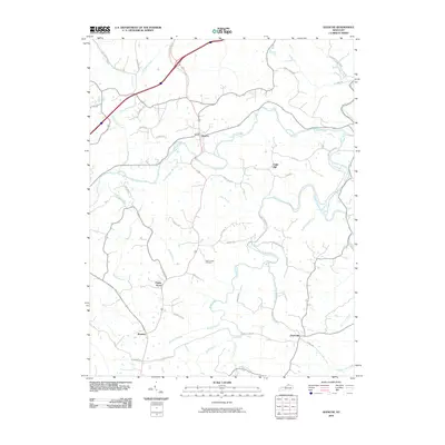 2010 Glencoe2010 Print · USGSGallatin County at the turn of the millennium remains a landscape of winding creek valleys and established rural communities. Researchers can trace family history through the Asa Kemper Cemetery or explore the geography of Glencoe, Poplar Grove, and the banks of Eagle Creek.
 - 2010 Map of Sanders, 2010 Print
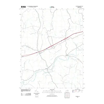 2010 Sanders2010 Print · USGSCarroll County settlements and the winding course of Eagle Creek are captured in the late 2000s. Genealogists and local historians can trace family locations along Sanders, Sparta, and the banks of Stephens Creek or Twomile Creek.
 - 2010 Map of Verona, 2010 Print
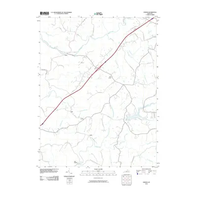 2010 Verona2010 Print · USGSNorthern Kentucky's rural character is preserved here in the early twenty-first century, showing the persistence of crossroads settlements and family-named landmarks. Genealogists and local historians can locate Zion Station and Munk, or find ancestral burial sites at Carr Cemetery and Saints Patricks Cemetery.
 - 2010 Map of Florence, 2010 Print
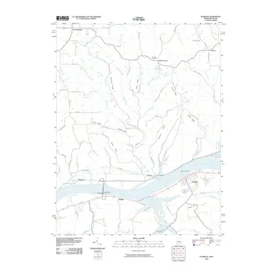 2010 Florence2010 Print · USGSThe Indiana-Kentucky borderlands along the Ohio River come into focus in this late-2000s study. Trace family heritage and local industry through the Warsaw and Florence Ferry, Markland Dam, and rural burial grounds like Bark Works Cemetery.
 - 2010 Map of Patriot, 2010 Print
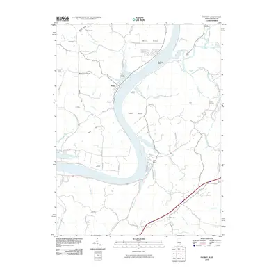 2010 Patriot2010 Print · USGSThe Indiana-Kentucky borderlands along the Ohio River appear here in the early twenty-first century. Researchers can trace rural lineages through numerous family sites like Eastview Cemetery and Jack Cemetery or explore the river bottoms at Mexico Bottom and Steele Bottom.
 - 2010 Map of Vevay South, 2010 Print
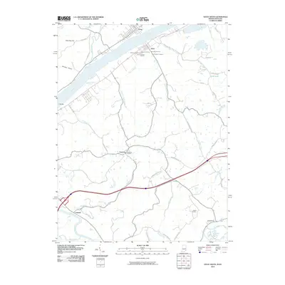 2010 Vevay South2010 Print · USGSCrossing the Ohio River near the Indiana-Kentucky border, this survey captures the riverfront communities of Vevay and Ghent in the early twenty-first century. Genealogists can trace a remarkable number of family burial grounds, such as Whitehead Cemetery, Stafford Cemetery, and the Ghent IOOF Cemetery.
 - 2010 Map of Vevay North, 2010 Print
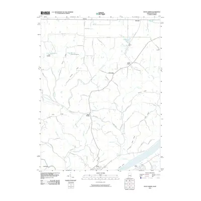 2010 Vevay North2010 Print · USGSThe northern banks of the Ohio River and the rural ridges of Switzerland County are documented here in 2010. Researchers can trace family ties and local history through small settlements like Mount Sterling and Allensville, or burial sites at Stow Cemetery.
 - 2013 Map of Sanders, 2013 Print
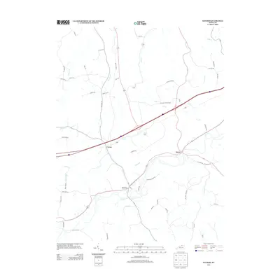 2013 Sanders2013 Print · USGSThe rural Kentucky communities of Sanders and Sparta are captured here in the early twenty-first century, showcasing a landscape of winding creek valleys and farm roads. Researchers can trace local routes like Sparta-Sanders Rd or the banks of Goose Cr and Lick Cr.
 - 2013 Map of Glencoe, 2013 Print
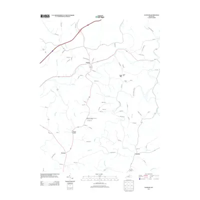 2013 Glencoe2013 Print · USGSGallatin County's rural character is preserved in this early twenty-first-century survey of the hills surrounding Glencoe. Genealogists can trace family connections at the Poplar Grove Independent Order of Odd Fellows Cemetery or locate old homesteads near Eagle Hill and Bromley.
 - 2013 Map of Verona, 2013 Print
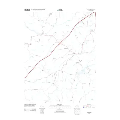 2013 Verona2013 Print · USGSNorthern Kentucky's rural landscape is captured here in the early twenty-first century, showing a mix of established small towns and hilltop farms. Genealogists can trace family history through numerous burial sites like Beaverlick Church Cem and Carr Cem, or locate rural landmarks near Zion Station.
 - 2013 Map of Florence, 2013 Print
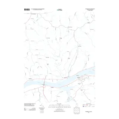 2013 Florence2013 Print · USGSGallatin County and the Indiana borderlands are defined by the winding Ohio River in the early twenty-first century. Researchers can trace riverside life in Warsaw and Florence or explore upland ridges including McCreary Ridge and Scott Ridge.
 - 2013 Map of Patriot, 2013 Print
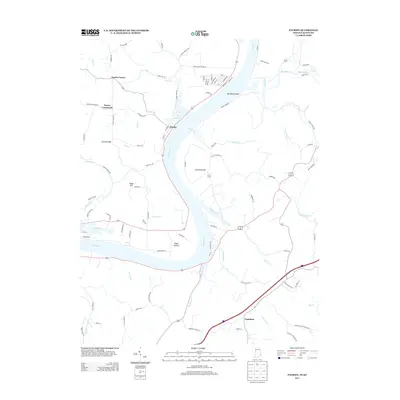 2013 Patriot2013 Print · USGSThe Indiana-Kentucky borderlands along the Ohio River remain defined by their historic riverbottoms and ridge settlements in this modern survey. Genealogists can trace family lands near Searcy Crossroads, Patriot, and the fertile stretches of Egypt Bottom.
 - 2013 Map of Vevay North, 2013 Print
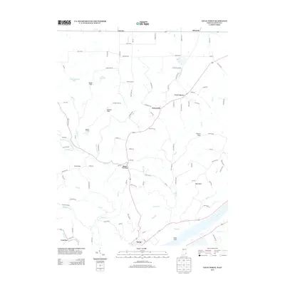 2013 Vevay North2013 Print · USGSThe northern reaches of Switzerland County and the riverfront at Vevay appear here in the early 2010s. Researchers can trace rural settlement patterns from Allensville down to the Ohio River, locating landmarks like Vevay Island and Roberts Airport.
 - 2013 Map of Vevay South, 2013 Print
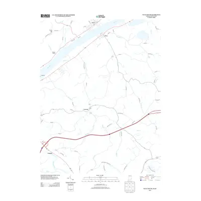 2013 Vevay South2013 Print · USGSThe Ohio River valley at the Indiana-Kentucky border comes alive in this 2013 record of the riverfront and its uplands. Genealogists can trace family footprints from the streets of Vevay and Ghent to rural landmarks like Potato Bug Hill and the settlement of Easterday.
 - 2016 Map of Glencoe, 2016 Print
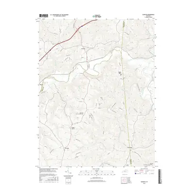 2016 Glencoe2016 Print · USGSNorthern Kentucky at the peak of the 2010s shows a landscape defined by ridge-top roads and creek valleys. Genealogists can trace family names at the Baldwin Cem, Maddox Cem, and the Poplar Grove Independent Order of Odd Fellows Cem.
 - 2016 Map of Sanders, 2016 Print
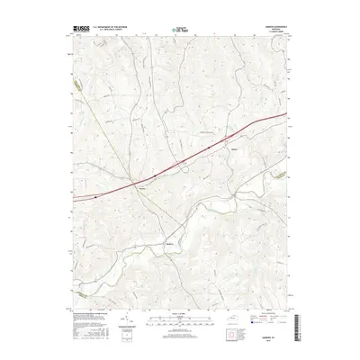 2016 Sanders2016 Print · USGSThe tri-county border area of Kentucky is captured here in the mid-2010s, centered on the creek-side communities of Sanders and Sparta. Researchers can trace old family road names and rural drainage patterns along Eagle Creek, Goose Cr, and Hathaway Ridge.
 - 2016 Map of Verona, 2016 Print
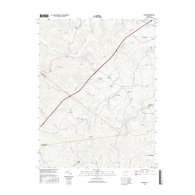 2016 Verona2016 Print · USGSNorthern Kentucky's rolling borderlands between Walton and Crittenden appear here in the mid-2010s. Researchers can locate numerous local landmarks like Beaverlick Church Cem, Zion Station, and the waters of Bullock Pen Lake.
 - 2016 Map of Vevay South, 2016 Print
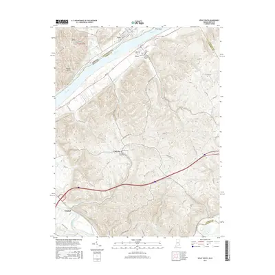 2016 Vevay South2016 Print · USGSThe border between Indiana and Kentucky is defined here by the river valley in the mid-2010s, centering on the historic river towns of Vevay and Ghent. Researchers can trace old family sites and burial grounds like Whitehead Cem and the Ghents Old Black Cem.
 - 2016 Map of Vevay North, 2016 Print
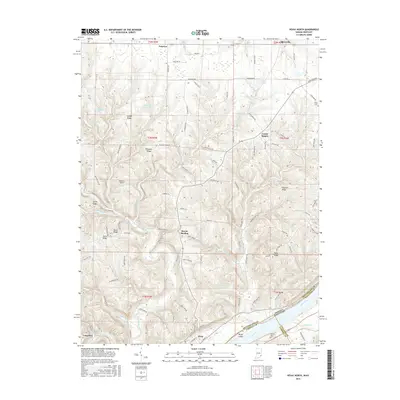 2016 Vevay North2016 Print · USGSThe northern riverfront of Vevay and its surrounding ridge-top communities are captured here in the mid-2010s. Genealogists and local historians can trace family locations near Mount Sterling, locate the Stow Cem, or follow the winding path of Hunts Creek.
 - 2016 Map of Patriot, 2016 Print
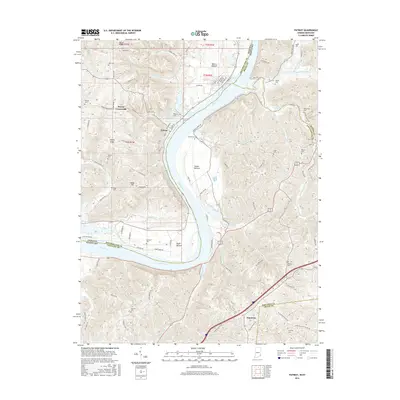 2016 Patriot2016 Print · USGSThe Ohio River valley at the Indiana and Kentucky border remains a landscape of river-bottom farms and ridge-top settlements. Genealogists can trace family names through numerous small burial grounds and landmarks like Eastview Cem, Searcy Crossroads, and Richardson Cem.
 - 2016 Map of Florence, 2016 Print
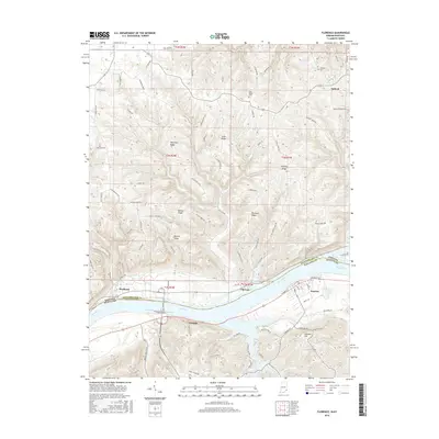 2016 Florence2016 Print · USGSThe Ohio River valley near the Kentucky-Indiana border is shown here in the mid-2010s, capturing the enduring riverfront character of Warsaw and Florence. Genealogists and local historians can trace rural family sites near Antioch Cemetery, Bark Works Cemetery, and across the high elevations of McCrearys Ridge.
 - 2019 Map of Verona, 2019 Print
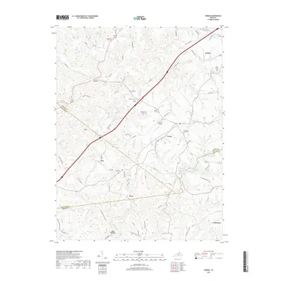 2019 Verona2019 Print · USGSThe tri-county borderlands of Northern Kentucky are captured here in the late 2010s, showcasing a landscape of ridge-top settlements and winding creek valleys. Researchers can locate numerous local landmarks like Zion Station, Bullock Pen Lake, and Beaverlick Church Cem.
 - 2019 Map of Sanders, 2019 Print
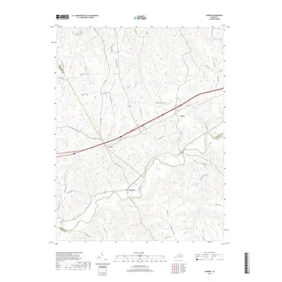 2019 Sanders2019 Print · USGSThe Eagle Creek valley and the borders of Carroll, Gallatin, and Owen Counties come into focus in the late 2010s. Local researchers can trace family lands and rural routes near Sanders, Sparta, and the small settlement at Carson.
 - 2019 Map of Glencoe, 2019 Print
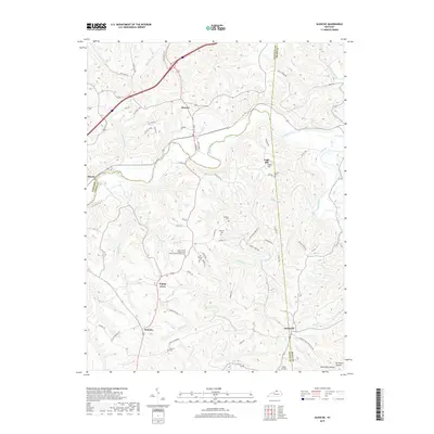 2019 Glencoe2019 Print · USGSGallatin, Grant, and Owen Counties meet in this rolling landscape during the late twenty-tens, where small communities remain anchored by their local history. Genealogists can locate several family burial grounds, including the Baldwin Cem, or trace roots through Poplar Grove and Jonesville.
 - 2019 Map of Vevay South, 2019 Print
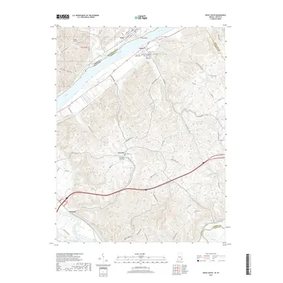 2019 Vevay South2019 Print · USGSThe riverfront communities of Vevay and Ghent anchor this 2019 survey of the Ohio River border. Local historians can trace a remarkable cluster of cemeteries and rural landmarks, from the Ghent IOOF Cem to the Lower Whites Run Baptist Church.
Showing maps 1-25 of 28
Top cities of Gallatin County
Frequently asked questions
- What are the different types of historical maps available for Gallatin County?
- What is the oldest map of Gallatin County?
- Where can I purchase historical maps of Gallatin County for my home or office?
- Where can I download high-res historical maps of Gallatin County?
- Are there historical topographic maps available for Gallatin County?
- Is there historical aerial imagery available for Gallatin County?
- Where are historical maps of Gallatin County sourced from?