Old Maps of Grant County, Kentucky for Hiking & Exploration
Hike through history with 46 historic maps of Grant County. Explore old trails, ghost towns, and forgotten backroads — perfect for outdoor adventurers and local explorers.
- Rediscover forgotten places: Map out old mining camps, roads, and footpaths that no longer exist on modern maps.
- Layer with modern tools: Combine with LiDAR or satellite views to plan hikes through historical terrain.
- Made for exploration: Popular among hikers, overlanders, and local history lovers.
Use these maps to find adventure and explore the hidden past of Grant County.
Grant County, KY maps
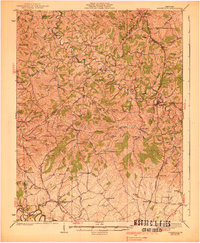
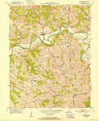
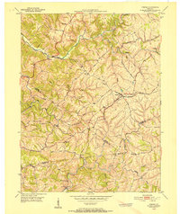
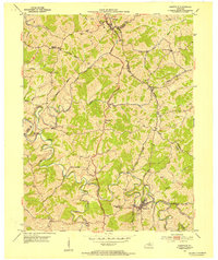
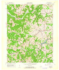
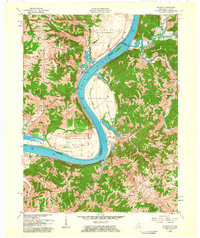
(46)- 1930 Map of Falmouth
 1930 Falmouth1930 Print · USGSCovers Grant County, including Falmouth, Berry, and other nearby areas
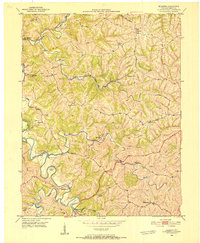
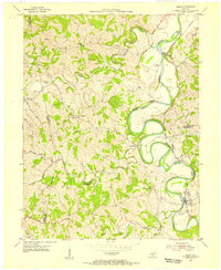
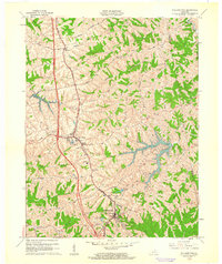
 - 1936 Map of Falmouth
 1936 Falmouth1936 Print · USGSCovers Grant County, including Falmouth, Berry, and other nearby areas2 unique versions available
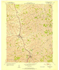
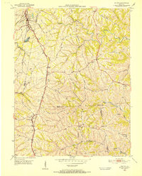
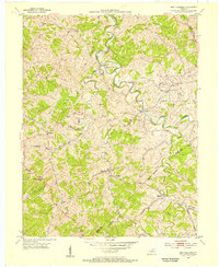
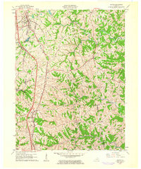
 - 1939 Map of Sadieville
 1939 Sadieville1939 Print · USGSCovers Grant County, including Georgetown, Stamping Ground, and other nearby areas2 unique versions available
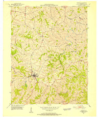
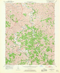
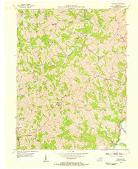
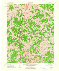
 - 1943 Map of Patriot
 1943 Patriot1943 Print · USGSCovers Grant County, including Patriot, Searcy Crossroads, and other nearby areas
 - 1950 Map of Mason, 1952 Print
 1950 Mason1952 Print · USGSCovers Grant County, including Corinth, Blanchet, and other nearby areas
 - 1950 Map of Glencoe, 1952 Print
 1950 Glencoe1952 Print · USGSCovers Grant County, including Glencoe, Eagle Hill, and other nearby areas2 unique versions available
 - 1950 Map of Elliston, 1952 Print
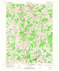
 1950 Elliston1952 Print · USGSCovers Grant County, including Dry Ridge, Williamstown, and other nearby areas2 unique versions available
 - 1950 Map of Williamstown, 1952 Print
 1950 Williamstown1952 Print · USGSCovers Grant County, including Crittenden, Dry Ridge, and other nearby areas
 - 1950 Map of Owenton, 1952 Print
 1950 Owenton1952 Print · USGSCovers Grant County, including Owenton, Sweet Owen, and other nearby areas4 unique versions available
 - 1950 Map of Verona, 1952 Print
 1950 Verona1952 Print · USGSCovers Grant County, including Crittenden, Walton, and other nearby areas
 - 1950 Map of Walton, 1952 Print
 1950 Walton1952 Print · USGSCovers Grant County, including Crittenden, Walton, and other nearby areas
 - 1950 Map of Lawrenceville, 1970 Print
 1950 Lawrenceville1970 Print · USGSCovers Grant County, including Lawrenceville, Holiday Ford, and other nearby areas
 - 1951 Map of Patriot, 1953 Print
 1951 Patriot1953 Print · USGSCovers Grant County, including Patriot, Searcy Crossroads, and other nearby areas
 - 1953 Map of Sadieville, 1954 Print
 1953 Sadieville1954 Print · USGSCovers Grant County, including Sadieville, Corinth, and other nearby areas
 - 1953 Map of Berry, 1955 Print
 1953 Berry1955 Print · USGSCovers Grant County, including Berry, Boyd, and other nearby areas
 - 1953 Map of New Columbus, 1955 Print
 1953 New Columbus1955 Print · USGSCovers Grant County, including Natlee, Rockdale, and other nearby areas3 unique versions available
 - 1953 Map of Goforth, 1955 Print
 1953 Goforth1955 Print · USGSCovers Grant County, including Goforth, Locust Grove, and other nearby areas2 unique versions available
 - 1956 Map of Louisville, 1971 Print
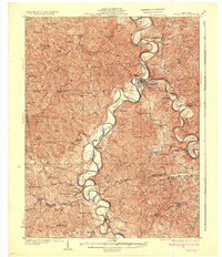
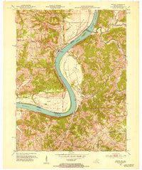
 1956 Louisville1971 Print · USGSCovers Grant County, including Louisville, Lexington, and other nearby areas2 unique versions available
 - 1961 Map of Verona, 1962 Print
 1961 Verona1962 Print · USGSCovers Grant County, including Crittenden, Walton, and other nearby areas
 - 1961 Map of Williamstown, 1962 Print
 1961 Williamstown1962 Print · USGSCovers Grant County, including Crittenden, Dry Ridge, and other nearby areas2 unique versions available
 - 1961 Map of Walton, 1962 Print
 1961 Walton1962 Print · USGSCovers Grant County, including Crittenden, Walton, and other nearby areas2 unique versions available
 - 1961 Map of Mason, 1962 Print
 1961 Mason1962 Print · USGSCovers Grant County, including Corinth, Blanchet, and other nearby areas2 unique versions available
 - 1961 Map of Patriot, 1963 Print
 1961 Patriot1963 Print · USGSCovers Grant County, including Patriot, Searcy Crossroads, and other nearby areas
 - 1964 Map of Louisville
 1964 Louisville1964 Print · USGSCovers Grant County, including Louisville, Lexington, and other nearby areas
 - 1965 Map of Sadieville, 1966 Print
 1965 Sadieville1966 Print · USGSCovers Grant County, including Sadieville, Corinth, and other nearby areas2 unique versions available
Showing maps 1-25 of 46
Top cities of Grant County
Frequently asked questions
- What are the different types of historical maps available for Grant County?
- What is the oldest map of Grant County?
- Where can I purchase historical maps of Grant County for my home or office?
- Where can I download high-res historical maps of Grant County?
- Are there historical topographic maps available for Grant County?
- Is there historical aerial imagery available for Grant County?
- Where are historical maps of Grant County sourced from?