2000s (21st Century) Maps of Mayfield, Kentucky
Explore 20 historic maps of Mayfield from the 2000s (21st Century). These maps offer a rare glimpse into what life looked like during the 2000s — showing old roads, neighborhoods, homes, and landmarks that have changed or disappeared over time.
Whether you're researching your family's past, planning a metal detecting trip, or studying how Mayfield's landscape evolved across the 2000s, these high-resolution maps are a powerful tool for exploring the history of this region.
- Focus on a specific era: All maps on this page are from the 2000s, giving you a focused view of this time period.
- See what’s changed: Compare century-old streets, trails, and buildings to today's modern landscape using overlays and satellite layers.
- Research with precision: Use these maps for genealogy, historical research, land use analysis, or educational projects.
- View, download, or print: Maps are fully viewable online in high resolution, and can be downloaded or printed for your own records.
Start exploring Mayfield's history through authentic maps from the 2000s. This is your window into the past.
Mayfield, KY maps
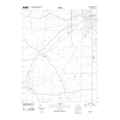
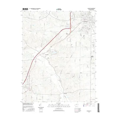
(20)- 2010 Map of Hickory, 2010 Print
 2010 Hickory2010 Print · USGSCovers Mayfield, including Hickory, West Viola, and other nearby areas
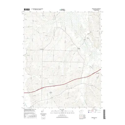
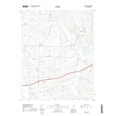
 - 2010 Map of Westplains, 2010 Print
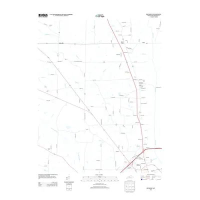
 2010 Westplains2010 Print · USGSCovers Mayfield, including Westplains, Hicksville, and other nearby areas
 - 2010 Map of Mayfield, 2010 Print
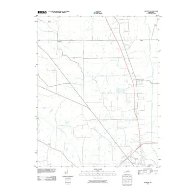
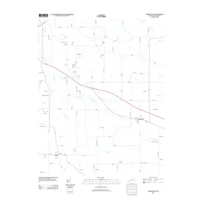
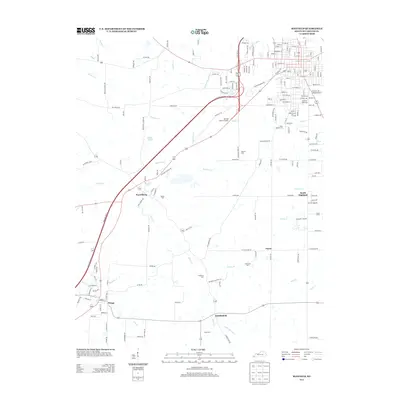
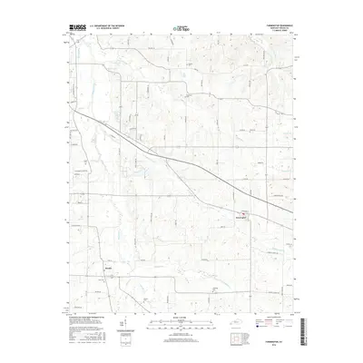
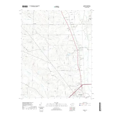
 2010 Mayfield2010 Print · USGSCovers Mayfield, including Wingo, Stubblefield, and other nearby areas
 - 2010 Map of Farmington, 2010 Print
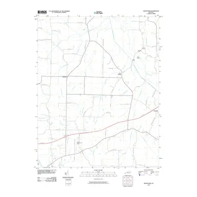
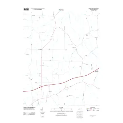
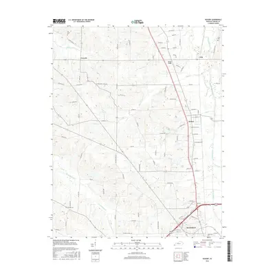
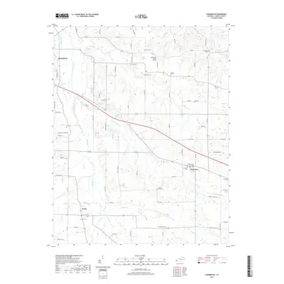
 2010 Farmington2010 Print · USGSCovers Mayfield, including Sedalia, Farmington, and other nearby areas
 - 2013 Map of Farmington, 2013 Print
 2013 Farmington2013 Print · USGSCovers Mayfield, including Sedalia, Farmington, and other nearby areas
 - 2013 Map of Mayfield, 2013 Print
 2013 Mayfield2013 Print · USGSCovers Mayfield, including Wingo, Stubblefield, and other nearby areas
 - 2013 Map of Westplains, 2013 Print
 2013 Westplains2013 Print · USGSCovers Mayfield, including Westplains, Hicksville, and other nearby areas
 - 2013 Map of Hickory, 2013 Print
 2013 Hickory2013 Print · USGSCovers Mayfield, including Hickory, West Viola, and other nearby areas
 - 2016 Map of Farmington, 2016 Print
 2016 Farmington2016 Print · USGSCovers Mayfield, including Sedalia, Farmington, and other nearby areas
 - 2016 Map of Westplains, 2016 Print
 2016 Westplains2016 Print · USGSCovers Mayfield, including Westplains, Hicksville, and other nearby areas
 - 2016 Map of Hickory, 2016 Print
 2016 Hickory2016 Print · USGSCovers Mayfield, including Hickory, West Viola, and other nearby areas
 - 2016 Map of Mayfield, 2016 Print
 2016 Mayfield2016 Print · USGSCovers Mayfield, including Wingo, Stubblefield, and other nearby areas
 - 2019 Map of Westplains, 2019 Print
 2019 Westplains2019 Print · USGSCovers Mayfield, including Westplains, Hicksville, and other nearby areas
 - 2019 Map of Hickory, 2019 Print
 2019 Hickory2019 Print · USGSCovers Mayfield, including Hickory, West Viola, and other nearby areas
 - 2019 Map of Farmington, 2019 Print
 2019 Farmington2019 Print · USGSCovers Mayfield, including Sedalia, Farmington, and other nearby areas
 - 2019 Map of Mayfield, 2019 Print
 2019 Mayfield2019 Print · USGSCovers Mayfield, including Wingo, Stubblefield, and other nearby areas
 - 2022 Map of Farmington, 2022 Print
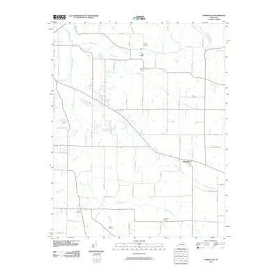
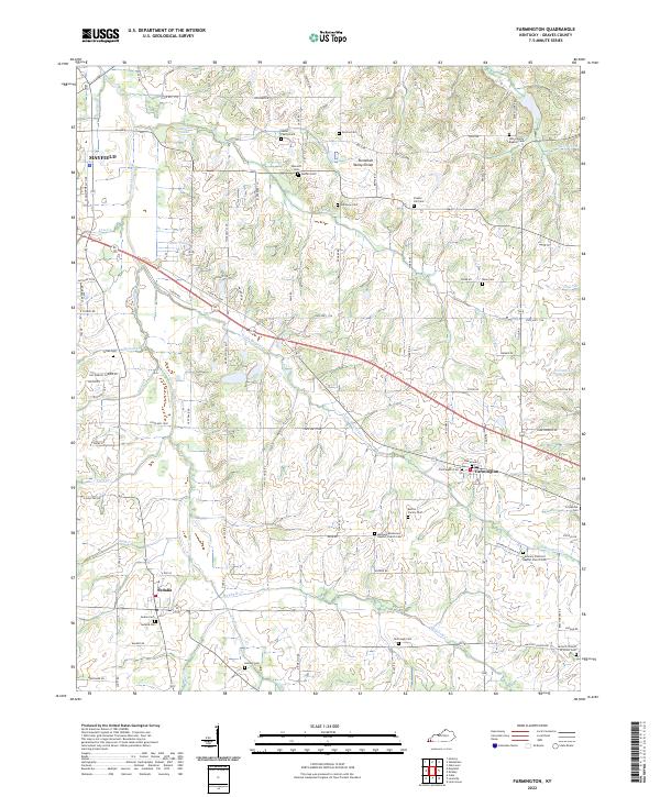 2022 Farmington2022 Print · USGSGraves County persists as a landscape of rural family heritage and small-town hubs in the early twenty-first century. Genealogists and local historians can trace legacy landholdings and community focal points through a high density of burial grounds, including the Nesler Family Cem, Farmington Cem, and Harmony Primitive Baptist Church Cem.
 - 2022 Map of Westplains, 2022 Print
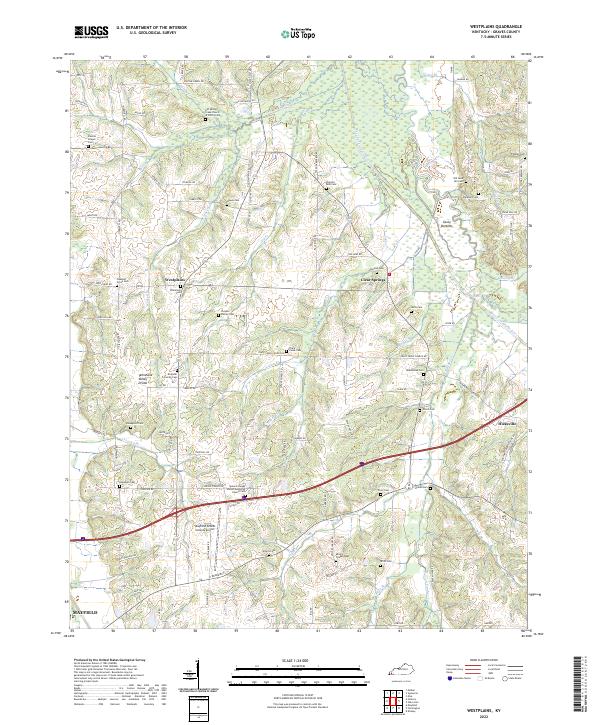 2022 Westplains2022 Print · USGSGraves County in the early 2020s remains a landscape of traditional family-named settlements and rural churchyards. Researchers can trace ancestral locations like the Puryear Family Cem and Honeycutt Cem or explore the area around Clear Springs.
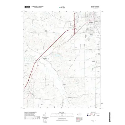
 - 2022 Map of Mayfield, 2022 Print
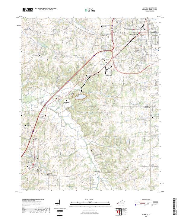 2022 Mayfield2022 Print · USGSGraves County at the start of the 2020s shows a landscape where historic rural settlements like Pryorsburg and Wingo still anchor the community. Researchers can trace family roots through numerous local burial sites, including the Blane Family Cem, Saint Josephs Cem, and Anderson Cem.
 - 2022 Map of Hickory, 2022 Print
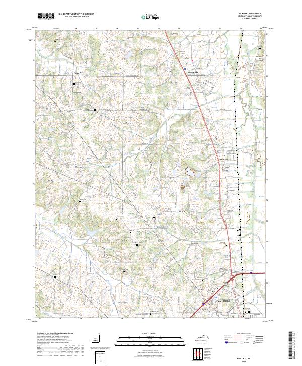 2022 Hickory2022 Print · USGSNorth of Mayfield in the early 2020s, this area of Graves County remains a landscape of small settlements and deep-rooted family history. Genealogists can trace numerous local sites such as the Pottsville Cem, Sellars Cem, and the Hickory Amish Mennonite Church Cem.
End of results
Showing maps 1-20 of 20
Top cities near Mayfield
Frequently asked questions
- What are the different types of historical maps available for Mayfield?
- What is the oldest map of Mayfield?
- Where can I purchase historical maps of Mayfield for my home or office?
- Where can I download high-res historical maps of Mayfield?
- Are there historical topographic maps available for Mayfield?
- Is there historical aerial imagery available for Mayfield?
- Where are historical maps of Mayfield sourced from?