2010s Maps of Green County, Kentucky
Explore 52 historic maps of Green County from the 2010s. These maps offer a rare glimpse into what life looked like during the 2010s — showing old roads, neighborhoods, homes, and landmarks that have changed or disappeared over time.
Whether you're researching your family's past, planning a metal detecting trip, or studying how Green County's landscape evolved across the 2010s, these high-resolution maps are a powerful tool for exploring the history of this region.
- Focus on a specific era: All maps on this page are from the 2010s, giving you a focused view of this time period.
- See what’s changed: Compare century-old streets, trails, and buildings to today's modern landscape using overlays and satellite layers.
- Research with precision: Use these maps for genealogy, historical research, land use analysis, or educational projects.
- View, download, or print: Maps are fully viewable online in high resolution, and can be downloaded or printed for your own records.
Start exploring Green County's history through authentic maps from the 2010s. This is your window into the past.
Green County, KY maps
(52)- 2010 Map of Center, 2010 Print
 2010 Center2010 Print · USGSCentral Kentucky's rural landscape is captured here in the early twenty-first century, showing a network of historic family-named cemeteries and crossroads. Researchers can locate ancestral sites like Sydnor Cemetery and Franklin Cemetery or trace the Little Barren River to the Horseshoe Bend.
 - 2010 Map of Gradyville, 2010 Print
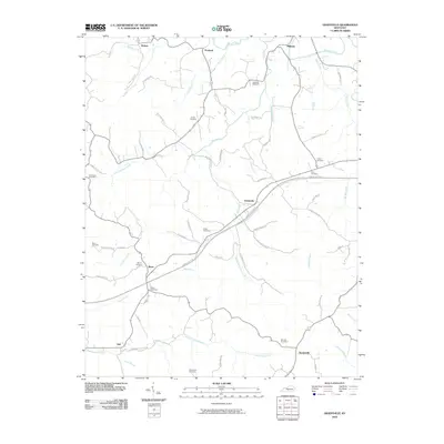 2010 Gradyville2010 Print · USGSAdair County at the turn of the 21st century remains a landscape of quiet creek-side hamlets and family farmsteads. Genealogists can trace local lineages through a high density of rural burial grounds, such as Dohoney Cemetery, Weed Cemetery, and Wheeler Cemetery.
 - 2010 Map of Summersville, 2010 Print
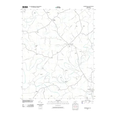 2010 Summersville2010 Print · USGSGreen County in the early twenty-first century reveals a landscape defined by meandering waterways and numerous family burial grounds. Local historians can trace established settlements like Summersville and Bloyds Crossing or find landmarks such as The Narrows of Pitman and Moss Cemetery.
 - 2010 Map of Greensburg, 2010 Print
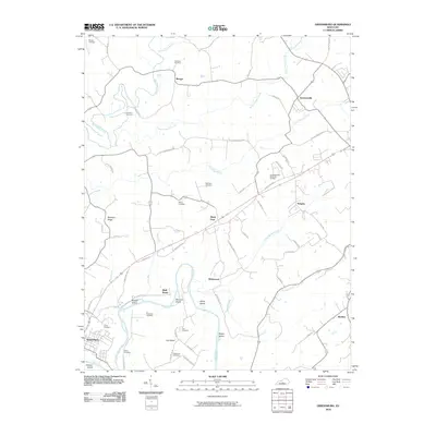 2010 Greensburg2010 Print · USGSThe Green River and Pitman Creek valleys come into focus in this early twenty-first-century survey of rural Taylor County. Researchers can locate numerous family-named landmarks and cemeteries like Chaney Cemetery or trace the rural crossroads of Bengal and Black Gnat.
 - 2010 Map of Magnolia, 2010 Print
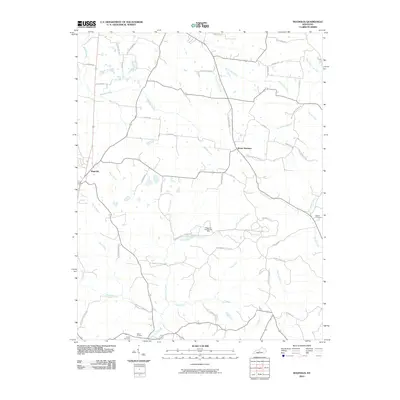 2010 Magnolia2010 Print · USGSMagnolia and Mount Sherman anchor this rural Kentucky landscape during the early twenty-first century. Researchers can trace family sites near Dezarn Cemetery or investigate the legacy of Aetna Furnace and the Magnolia Gas Storage Field.
 - 2010 Map of Sulphur Well, 2010 Print
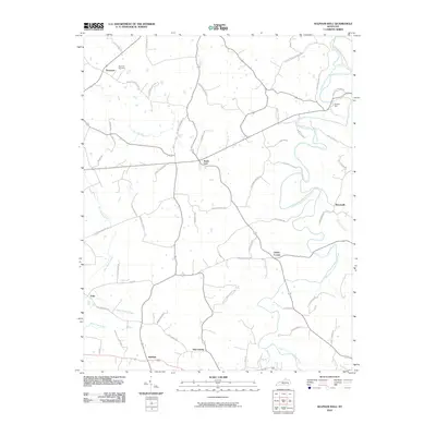 2010 Sulphur Well2010 Print · USGSMetcalfe County's rural hamlets and family-named roads are preserved here in the early twenty-first century. Genealogists can locate family landmarks like Buck Hill Cemetery and trace historical connections in settlements such as Sulphur Well and Knob Lick.
 - 2010 Map of Saloma, 2010 Print
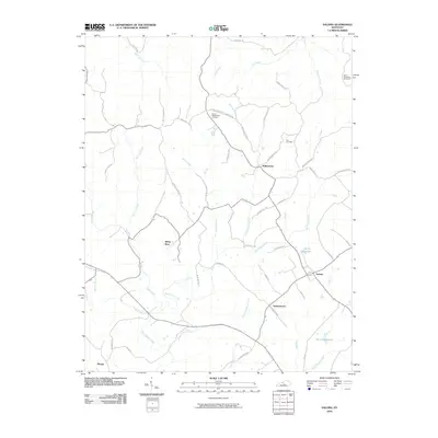 2010 Saloma2010 Print · USGSThe Taylor County countryside comes to life in this 2010 survey of Saloma and the surrounding farmsteads. Researchers can trace family history through the locations of Saint Matthews Cemetery, Mount Washington Cemetery, and the vanished-feeling quiet of White Rose.
 - 2010 Map of Hudgins, 2010 Print
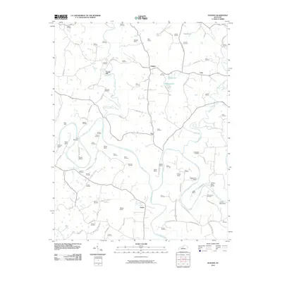 2010 Hudgins2010 Print · USGSGreen County’s rural riverfront comes to life in the early twenty-first century as the Green River loops through settlements like Powder Mill and Hudgins. Genealogists can trace family heritage through dozens of burial sites, including the Sidebottom Cemetery and Montgomery Cemetery.
 - 2010 Map of Cane Valley, 2010 Print
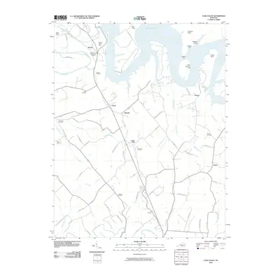 2010 Cane Valley2010 Print · USGSAdair County at the dawn of the millennium shows a landscape defined by the expansive Green River Lake and historic rural settlements. Genealogists can trace family heritage through numerous burial sites like the Green River Hill Confederate Cemetery and Bridgewater Cemetery.
 - 2010 Map of East Fork, 2010 Print
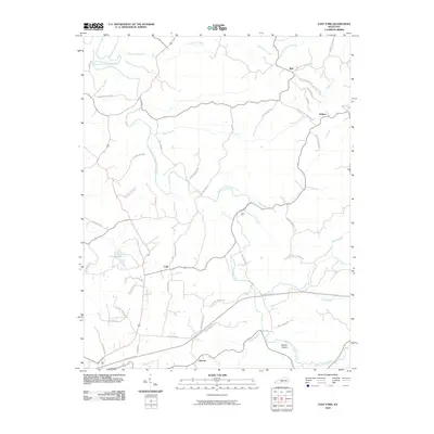 2010 East Fork2010 Print · USGSMetcalfe County's rural communities and river valleys are captured here at the start of the decade, showing a landscape shaped by the East Fork Little Barren River. Researchers can trace local lineage through family-named routes like Will Davis Rd and locate the historic crossroads of Mell and Cork.
 - 2010 Map of Hibernia, 2010 Print
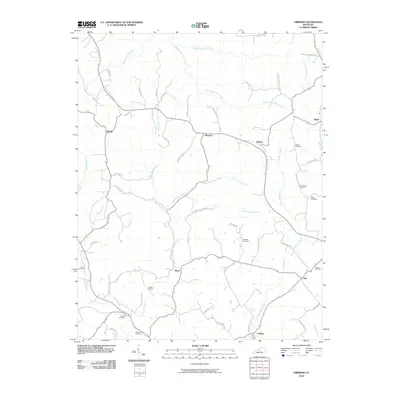 2010 Hibernia2010 Print · USGSTaylor County's rural communities come into focus in this late-period survey of the central Kentucky landscape. Genealogists and historians can trace family lineages through numerous local landmarks, including Dewitt Cemetery, Hibernia, and Skaggs Cemetery.
 - 2010 Map of Gresham, 2010 Print
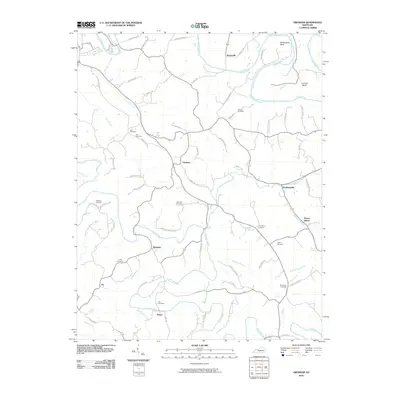 2010 Gresham2010 Print · USGSGreen County, Kentucky, is documented here in the early twenty-first century as a landscape of winding river bends and scattered rural settlements. Family historians can locate numerous burial grounds like Hancock Cemetery and Thompson Cemetery near communities such as Gresham and Roachville.
 - 2010 Map of Exie, 2010 Print
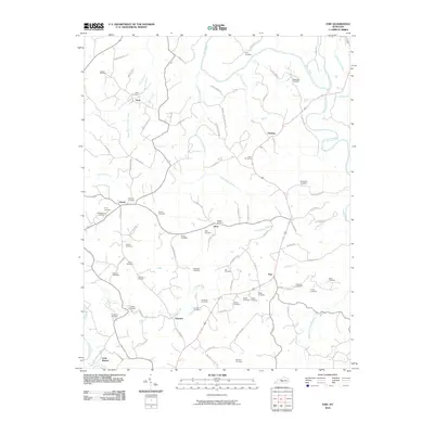 2010 Exie2010 Print · USGSThe rural crossroads and family homesteads of Green County are preserved in this 2010 survey of the central Kentucky countryside. Genealogists can trace family lines across dozens of sites like Liletown Cemetery, Bagby Cemetery, and Judd Cemetery.
 - 2013 Map of Sulphur Well, 2013 Print
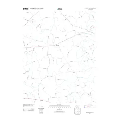 2013 Sulphur Well2013 Print · USGSMetcalfe County's rural landscapes are captured here in the early twenty-first century, showing the enduring character of its small settlements. Genealogists can trace family locations along Ratliff Mitchell Rd or near Nunn Cem and Buck Hill Cem.
 - 2013 Map of Summersville, 2013 Print
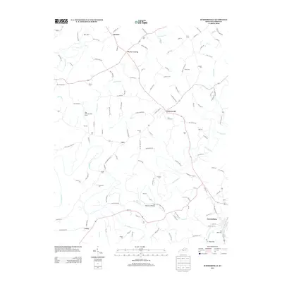 2013 Summersville2013 Print · USGSGreen County, Kentucky, is shown here in the early twenty-first century as a landscape of river bends and rural family homesteads. Researchers can locate numerous ancestral burial sites like Cave Springs Cem and Halls Cem or trace the winding course of The Narrows of Pitman.
 - 2013 Map of Exie, 2013 Print
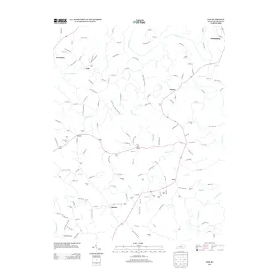 2013 Exie2013 Print · USGSGreen County's rural heart is documented here in the early 2000s, showing the enduring settlement patterns around Greensburg and the Green River. Researchers can trace dozens of family burial grounds and small communities like Exie, Liletown, and Pierce.
 - 2013 Map of Hibernia, 2013 Print
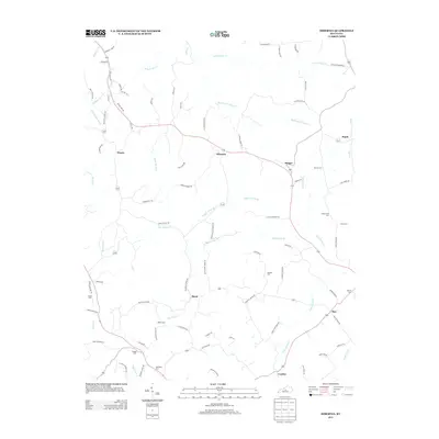 2013 Hibernia2013 Print · USGSHibernia and its neighboring crossroads communities are documented here in the early twenty-first century, showing a landscape of family farms and creek-side settlements. Genealogists can locate several family burial sites like Skaggs Cem and Webster Cem or trace the early paths of Old Ky 210.
 - 2013 Map of Saloma, 2013 Print
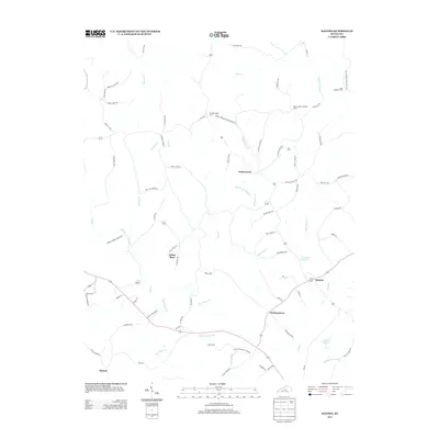 2013 Saloma2013 Print · USGSTaylor County rural life is captured here in the early twenty-first century as agricultural traditions meet modern water management. Genealogists and historians can trace family ties through Saint Matthews Cem and Kerr Cem or locate the old Mount Gilboa Lookout Tower.
 - 2013 Map of Cane Valley, 2013 Print
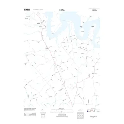 2013 Cane Valley2013 Print · USGSThe rural Kentucky landscape south of the Green River is captured here in the early twenty-first century. Researchers can trace family history through numerous burial sites like Green River Hill Confederate Cem, Cane Valley Cem, and Bridgewater Cem.
 - 2013 Map of Center, 2013 Print
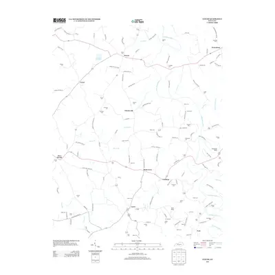 2013 Center2013 Print · USGSIn the early twenty-first century, this part of Metcalfe County remained a landscape of scattered rural hamlets and deep family roots. Genealogists can trace local history through dozens of named burial sites like Sandidge Cem or Kidd Cem and landmarks such as Pilot Knob.
 - 2013 Map of Gradyville, 2013 Print
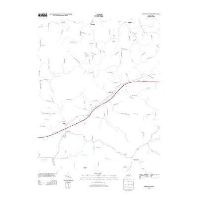 2013 Gradyville2013 Print · USGSAdair County, Kentucky, is shown here in the early twenty-first century as a land of creek-bottom settlements and family-named homesteads. Local historians can trace the geography of communities like Gradyville and Milltown or locate rural burial sites such as Rowetown Cem and Stapp Cem.
 - 2013 Map of Hudgins, 2013 Print
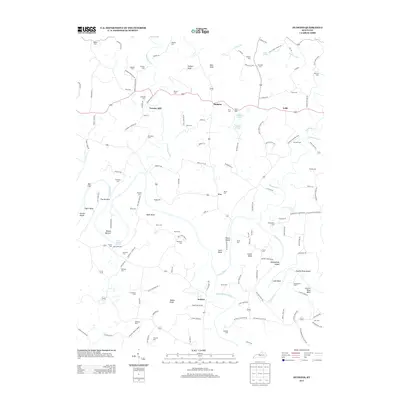 2013 Hudgins2013 Print · USGSThe Green River valley comes alive in this 2013 survey, showing a landscape defined by sharp river bends and high knobs. Genealogists can trace decades of local history through dozens of family burial sites, including Sidebottom Cem, Montgomery Cem, and Kessler Cem.
 - 2013 Map of Gresham, 2013 Print
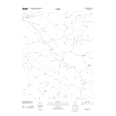 2013 Gresham2013 Print · USGSGreen County’s rural landscape is captured here in the early twenty-first century, showing a network of small settlements and river bends. Researchers can locate numerous family burial sites like Hancock Cemetery and Orr Cemetery near Gresham.
 - 2013 Map of Greensburg, 2013 Print
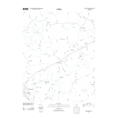 2013 Greensburg2013 Print · USGSThe Green River valley near Greensburg is captured here in the early twenty-first century, showing a landscape of river bends and rural crossroads. Local historians can trace family roots through numerous sites like Miller Cem, Black Gnat, and Marshall Ridge.
 - 2013 Map of East Fork, 2013 Print
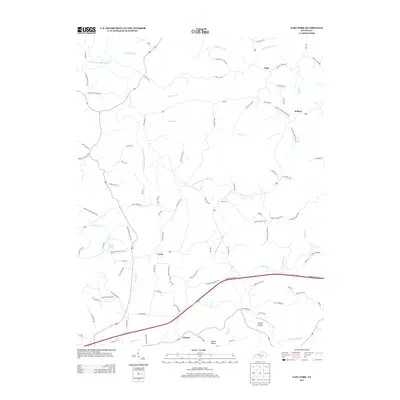 2013 East Fork2013 Print · USGSMetcalfe County's rural heartland is mapped here in the early 2000s, showing a landscape shaped by the E Fork Little Barren River. Researchers can trace old family routes and small hubs like Mell, Keltner, and the school and church roads that connect them.
Showing maps 1-25 of 52
Top cities of Green County
Frequently asked questions
- What are the different types of historical maps available for Green County?
- What is the oldest map of Green County?
- Where can I purchase historical maps of Green County for my home or office?
- Where can I download high-res historical maps of Green County?
- Are there historical topographic maps available for Green County?
- Is there historical aerial imagery available for Green County?
- Where are historical maps of Green County sourced from?