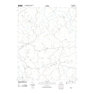
2010 Map of Exie
USGS Topo · Published 2010About this map
Green River and its southern tributaries define the topography of this corner of Green County, where small rural communities like Exie, Grab, and Liletown anchor a landscape of family farms and cemeteries. The drainage patterns are intricate, with Little Russell Creek and Greasy Creek carving through the terrain to feed the larger river system. A high density of burial grounds, including the Liletown Cemetery, Akin Cemetery, and Judd Cemetery, suggests a long-established local population with deep ancestral roots tied to specific family lands.
Find a feature on this map
92 named features on this map. Tap any name to fly to it.
Don’t see what you’re looking for? This feature index may not catch every label — zoom into the map to look around manually.
Map Details
Editions of this 2010 Exie Map
This is the sole edition of this map. No revisions or reprints were ever made.
Other maps of this area

1953 · Gradyville
USGS Topo · 1:24,000

1953 · Sulphur Well
USGS Topo · 1:24,000

1953 · Hudgins
USGS Topo · 1:24,000

1953 · Summersville
USGS Topo · 1:24,000

1953 · Exie
USGS Topo · 1:24,000

1953 · Gresham
USGS Topo · 1:24,000

1953 · Center
USGS Topo · 1:24,000

1953 · East Fork
USGS Topo · 1:24,000

1954 · Greensburg
USGS Topo · 1:24,000

1957 · Winchester
USGS Topo · 1:250,000