
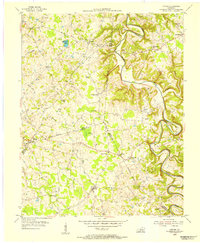
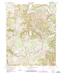
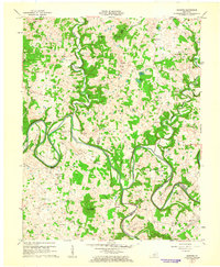
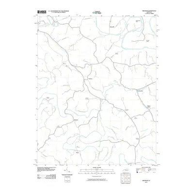
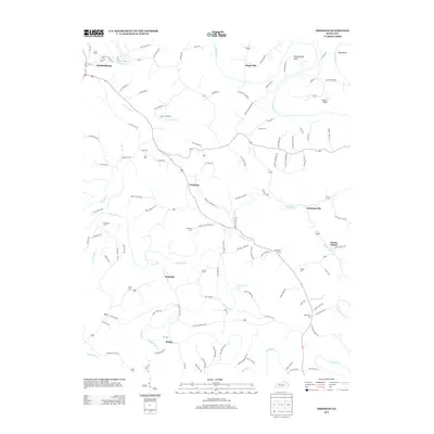
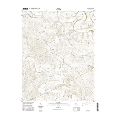
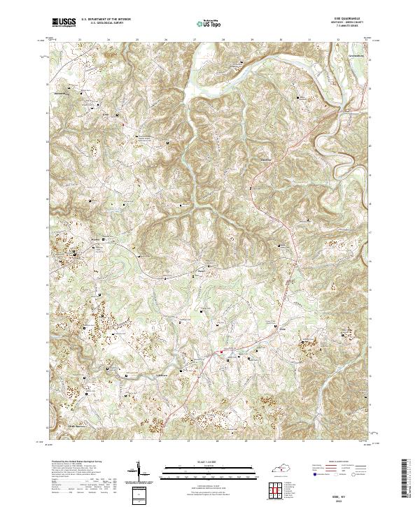
1953 Map of Exie
USGS Topo · Published 1955About this map
Green River and the winding Russell Creek define this rural Green County landscape as it appeared in the mid-1950s. The region is characterized by a dense network of small agrarian communities connected by winding roads and numerous family-named landmarks. Settlements such as Exie, Liletown, Thurlow, and Pierce serve as local anchors, each surrounded by family burial grounds like the Akin Cem and Wisdom Cem.
Find a feature on this map
52 named features on this map. Tap any name to fly to it.
Don’t see what you’re looking for? This feature index may not catch every label — zoom into the map to look around manually.
Map Details
Editions of this 1953 Exie Map
This is the sole edition of this map. No revisions or reprints were ever made.
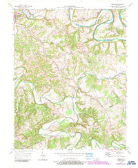
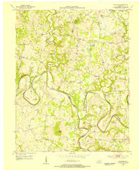
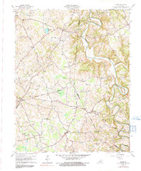
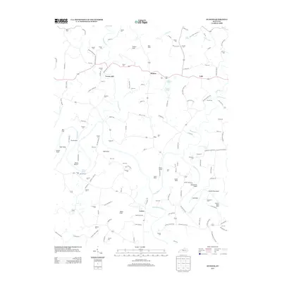
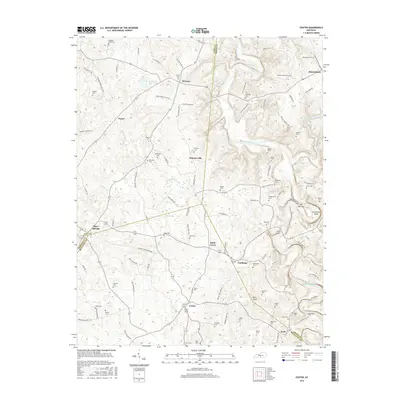
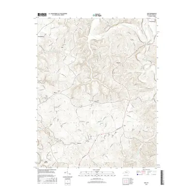
Historical Maps of Greensburg Through Time
27 maps found
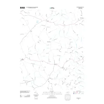
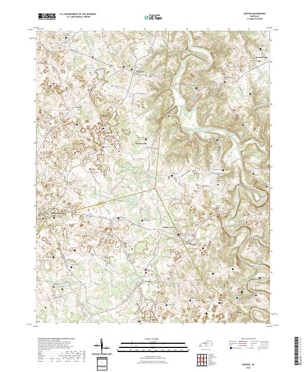
1953 Center
Green County, KY
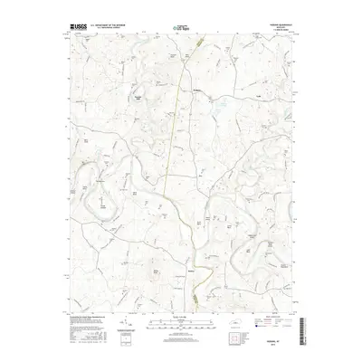
1953 Exie
Green County, KY
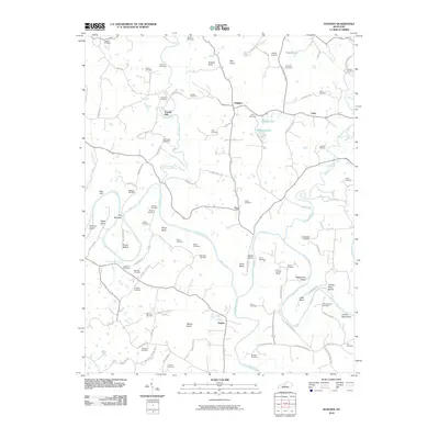
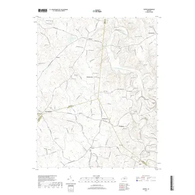
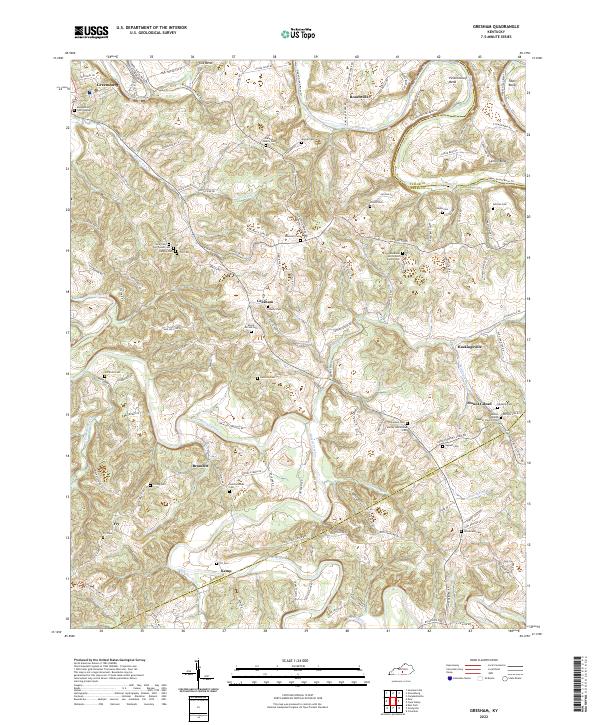
1953 Gresham
Green County, KY
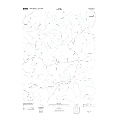
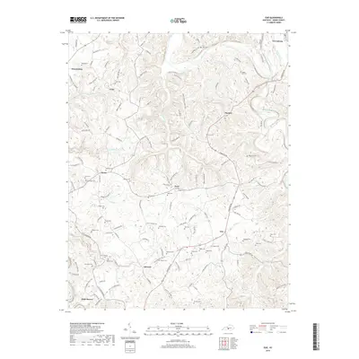
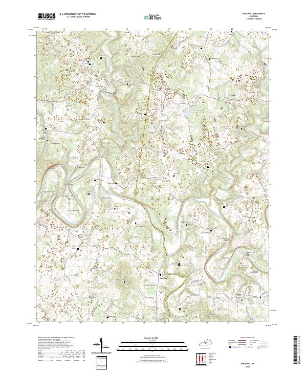
1953 Hudgins
Green County, KY
1961 Center
Green County, KY
1961 Exie
Green County, KY
1961 Hudgins
Green County, KY
2010 Center
Green County, KY
2010 Exie
Green County, KY
2010 Gresham
Green County, KY
2010 Hudgins
Green County, KY
2013 Center
Green County, KY
2013 Exie
Green County, KY
2013 Gresham
Green County, KY
2013 Hudgins
Green County, KY
2016 Center
Green County, KY
2016 Exie
Green County, KY
2016 Gresham
Green County, KY
2016 Hudgins
Green County, KY
2019 Center
Green County, KY
2019 Exie
Green County, KY
2019 Gresham
Green County, KY
2019 Hudgins
Green County, KY
2022 Center
Green County, KY
2022 Exie
Green County, KY
2022 Gresham
Green County, KY
2022 Hudgins
Green County, KY