Old Maps of Crailhope, Kentucky for Hiking & Exploration
Hike through history with 10 historic maps of Crailhope. Explore old trails, ghost towns, and forgotten backroads — perfect for outdoor adventurers and local explorers.
- Rediscover forgotten places: Map out old mining camps, roads, and footpaths that no longer exist on modern maps.
- Layer with modern tools: Combine with LiDAR or satellite views to plan hikes through historical terrain.
- Made for exploration: Popular among hikers, overlanders, and local history lovers.
Use these maps to find adventure and explore the hidden past of Crailhope.
Crailhope, KY maps
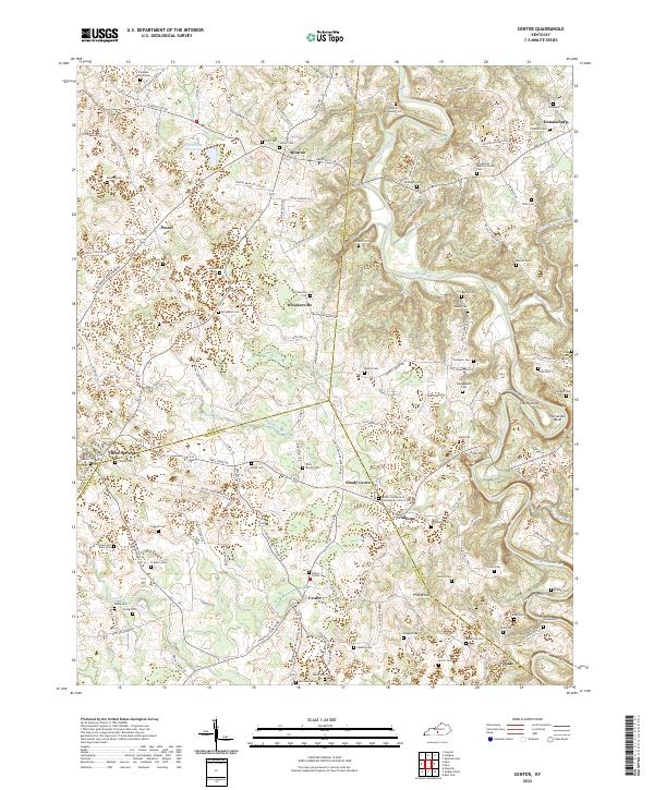
(10)- 1953 Map of Center, 1955 Print
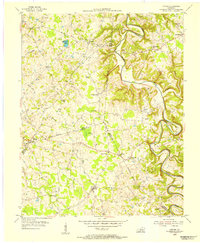 1953 Center1955 Print · USGSHart and Metcalfe counties come alive in the mid-fifties as a landscape of remote farmsteads and river bends. Genealogists can locate family landmarks like Allens Grove Ch, Bastin Cem, and the small settlement of Whickerville.
 - 1957 Map of Winchester, 1968 Print
 1957 Winchester1968 Print · USGSCentral Kentucky's landscape in the mid-twentieth century features the sprawling Fort Knox and the early parkway system. Genealogists and historians can trace rail lines like the Southern Railway and find landmarks from Bernheim Forest to Pilot Knob.3 unique versions available
 - 1960 Map of Winchester
 1960 Winchester1960 Print · USGSCentral Kentucky's diverse landscape is shown here at mid-century, from the bluegrass plains to the rugged Pottsville Escarpment. Genealogists and historians can trace the rail-and-river network connecting towns like Bardstown and Stanford alongside landmarks like Lake Cumberland.
 - 1961 Map of Center, 1963 Print
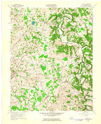 1961 Center1963 Print · USGSThe rural borderlands of Hart, Green, and Metcalfe counties are captured here in the early sixties, showing a landscape defined by river bends and country crossroads. Researchers can locate dozens of family burial sites like Sydnor Cem or trace the early energy infrastructure around Whickerville and Center.4 unique versions available
 - 1986 Map of Campbellsville
 1986 Campbellsville1986 Print · USGSCentral Kentucky in the mid-eighties was a landscape of deep river valleys and high ridges. Genealogists can trace family holdings near rural settlements like Phillipsburg or locate landmarks such as Mt Gilead Ch and the Magnolia Gas Storage Field.2 unique versions available
 - 2010 Map of Center, 2010 Print
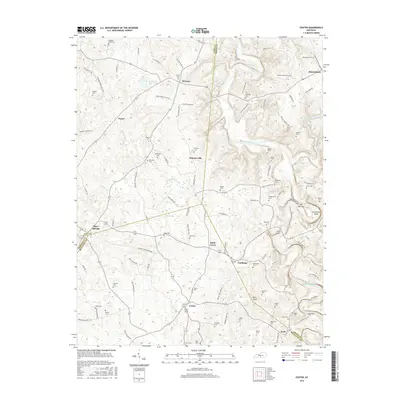
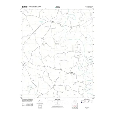 2010 Center2010 Print · USGSCovers Crailhope, including Shady Grove, Three Springs, and other nearby areas
 - 2013 Map of Center, 2013 Print
 2013 Center2013 Print · USGSCovers Crailhope, including Shady Grove, Three Springs, and other nearby areas
 - 2016 Map of Center, 2016 Print
 2016 Center2016 Print · USGSCovers Crailhope, including Shady Grove, Three Springs, and other nearby areas
 - 2019 Map of Center, 2019 Print
 2019 Center2019 Print · USGSCovers Crailhope, including Shady Grove, Three Springs, and other nearby areas
 - 2022 Map of Center, 2022 Print
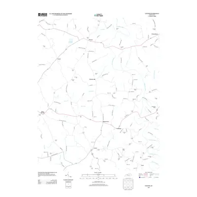
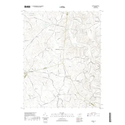
 2022 Center2022 Print · USGSSpanning the borders of Hart, Metcalfe, and Green counties in the 2020s, this area shows a landscape of river bends and family-named cemeteries. Trace local genealogy at Dishman Cem or Forbis Cem, and explore landmarks like Crail Hill and The Narrows.
End of results
Showing maps 1-10 of 10
Top cities near Crailhope
- Glasgow historical maps
- Horse Cave historical maps
- Greensburg historical maps
- Edmonton historical maps
- Munfordville historical maps
Frequently asked questions
- What are the different types of historical maps available for Crailhope?
- What is the oldest map of Crailhope?
- Where can I purchase historical maps of Crailhope for my home or office?
- Where can I download high-res historical maps of Crailhope?
- Are there historical topographic maps available for Crailhope?
- Is there historical aerial imagery available for Crailhope?
- Where are historical maps of Crailhope sourced from?