Loading...
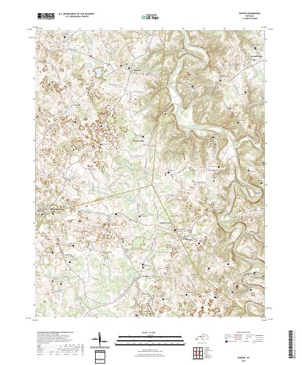
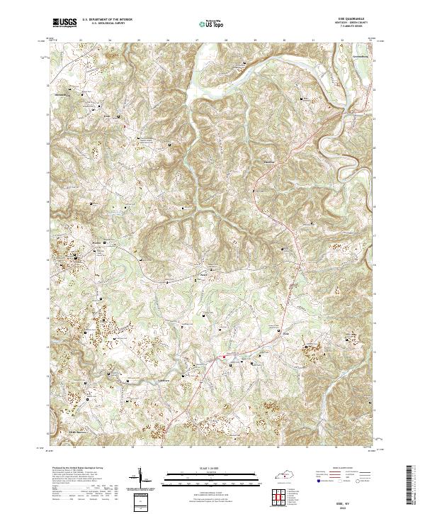
Loading map...2022 Map of Center
USGS Topo · Published 2022About this map
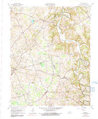
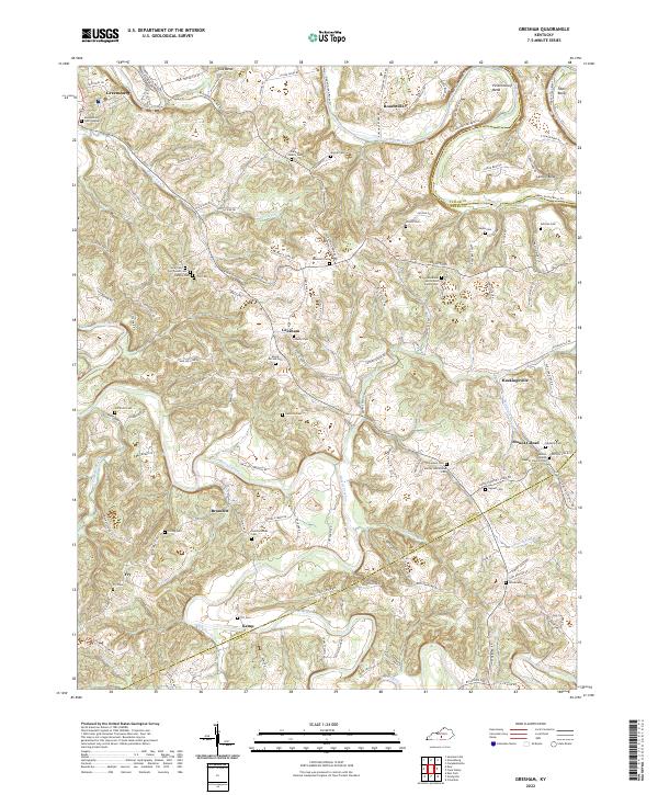
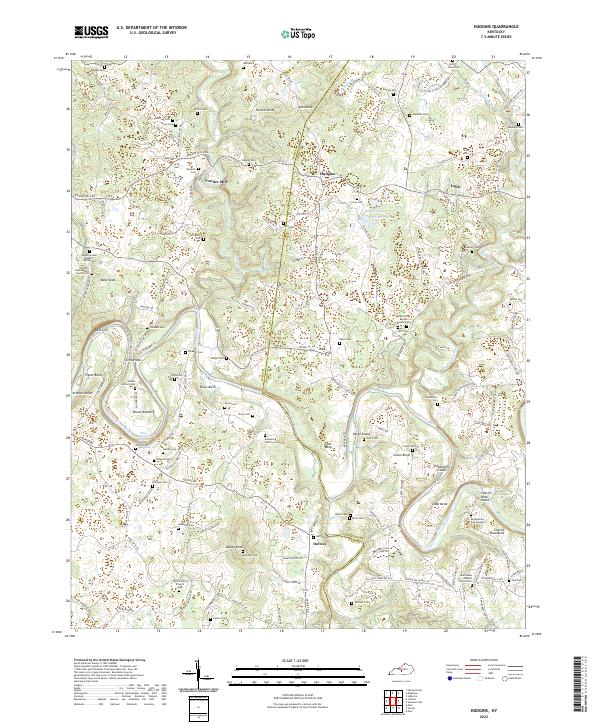
Center and Crailhope anchor this rural landscape where the boundaries of Hart, Metcalfe, and Green counties converge. The topography is defined by the winding course of the Little Barren River, which carves distinctive landforms including The Narrows and Horseshoe Bend. Away from the river, the terrain rises toward Crail Hill and Pilot Knob, while the mysterious Hundred Acre Pond sits near the settlement of Pascal.
Find a feature on this map
142 named features on this map. Tap any name to fly to it.
Don’t see what you’re looking for? This feature index may not catch every label — zoom into the map to look around manually.
Map Details
Date Portrayed2022
Date Published2022
PublisherU.S. Geological Survey
Map TypeTopographic
Scale1:24000
Physical Dimensions24 x 29 inches
Editions of this 2022 Center Map
This is the sole edition of this map. No revisions or reprints were ever made.
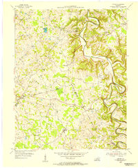
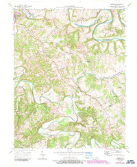
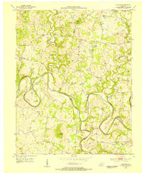
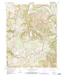
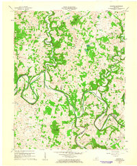
Historical Maps of Crailhope Through Time
11 maps found

Featured Locations
Source Details
SourceU.S. Geological Survey
CopyrightPublic Domain