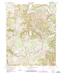
1961 Map of Exie
USGS Topo · Published 1987About this map
Green River and its winding tributaries, including Russell Creek and Greasy Creek, carve a complex drainage pattern through this Green County landscape. Small rural communities like Exie, Thurlow, and Liletown serve as anchors for a network of winding country roads and family homesteads. The social fabric of the mid-20th century is clearly visible through the numerous country churches and one-room schoolhouses, such as Oak Grove Ch, Hooks Chapel, and Forest Rose Sch.
Find a feature on this map
58 named features on this map. Tap any name to fly to it.
Don’t see what you’re looking for? This feature index may not catch every label — zoom into the map to look around manually.
Map Details
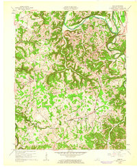
Editions of this 1961 Exie Map
2 editions found
Other maps of this area

1953 · Gradyville
USGS Topo · 1:24,000

1953 · Sulphur Well
USGS Topo · 1:24,000

1953 · Hudgins
USGS Topo · 1:24,000

1953 · Summersville
USGS Topo · 1:24,000

1953 · Exie
USGS Topo · 1:24,000

1953 · Gresham
USGS Topo · 1:24,000

1953 · Center
USGS Topo · 1:24,000

1953 · East Fork
USGS Topo · 1:24,000

1954 · Greensburg
USGS Topo · 1:24,000

1957 · Winchester
USGS Topo · 1:250,000