
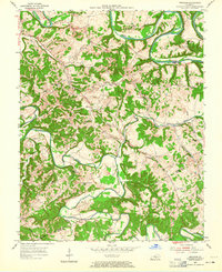
1953 Map of Gresham
USGS Topo · Published 1987About this map
Greensburg stands at the northwestern corner of this mid-century survey, where the Green River carves dramatic loops through the Kentucky landscape, including Cox Bend and Penitentiary Bend. The map illustrates a rural society organized around small crossroads and family landmarks, connected by the historical Jane Todd Crawford Trail. A network of country churches and schoolhouses serves as the backbone of local geography, with sites like Bethlehem Ch and Pleasant Hill Sch marking the uplands between the river and its many tributaries.
Find a feature on this map
48 named features on this map. Tap any name to fly to it.
Don’t see what you’re looking for? This feature index may not catch every label — zoom into the map to look around manually.
Map Details
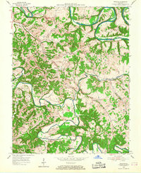
Editions of this 1953 Gresham Map
4 editions found
Other maps of this area

1953 · Gradyville
USGS Topo · 1:24,000

1953 · Campbellsville
USGS Topo · 1:24,000

1953 · Summersville
USGS Topo · 1:24,000

1953 · Exie
USGS Topo · 1:24,000

1953 · Gresham
USGS Topo · 1:24,000

1953 · East Fork
USGS Topo · 1:24,000

1953 · Cane Valley
USGS Topo · 1:24,000

1954 · Columbia
USGS Topo · 1:24,000

1954 · Greensburg
USGS Topo · 1:24,000

1957 · Winchester
USGS Topo · 1:250,000